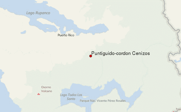
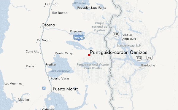
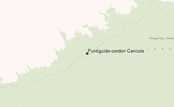
– Lat/Long: 40.97° S 72.26° W
 Puntiguido-cordon Cenizos – Climbing, Hiking & Mountaineering information
Puntiguido-cordon Cenizos – Climbing, Hiking & Mountaineering information
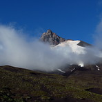
Puntiguido-cordon Cenizos mountain guide
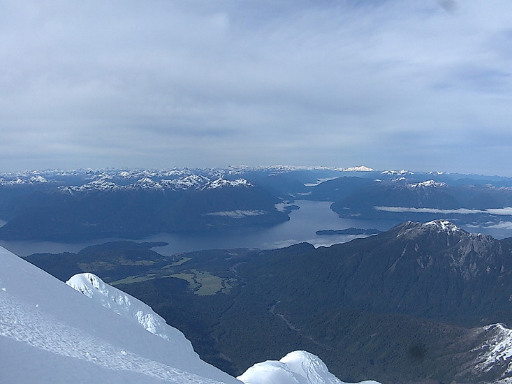
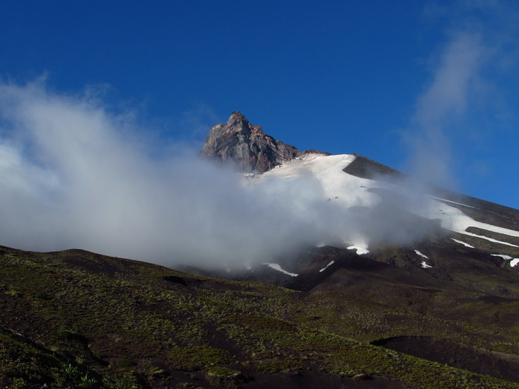
- Elevation: 2493 m
- Difficulty:
- Best months to climb: September, October, November, December
- Convenient center: Pto.Varas
Puntiguido-cordon Cenizos Climbing NotesBe the first to submit your climbing note! Please submit any useful information about climbing Puntiguido-cordon Cenizos that may be useful to other climbers. Consider things such as access and accommodation at the base of Puntiguido-cordon Cenizos, as well as the logistics of climbing to the summit. |
| Select a
mountain summit from the menu |
||
|
Select a Mountain Summit
|
||
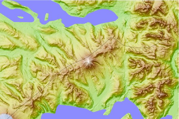

Use this relief map to navigate to mountain peaks in the area of Puntiguido-cordon Cenizos.
10 other mountain peaks closest to Puntiguido-cordon Cenizos:
| 1. | Puntiagudo-Cordón Cenizos (2493 m) | 0.0 km |
| 2. | Antillanca Group (1990 m) | 23.9 km |
| 3. | Osorno (811 m) | 24.1 km |
| 4. | Osorno (volcano) (2652 m) | 24.1 km |
| 5. | Casablanca (volcano) (2240 m) | 31.3 km |
| 6. | Cerro Pantoja (2112 m) | 34.5 km |
| 7. | Cerro Tronador (3478 m) | 38.0 km |
| 8. | Puyehue (2240 m) | 44.0 km |
| 9. | Calbuco (2015 m) | 49.4 km |
| 10. | Cordon Caulle (1798 m) | 50.3 km |
 Like us
 Follow us
