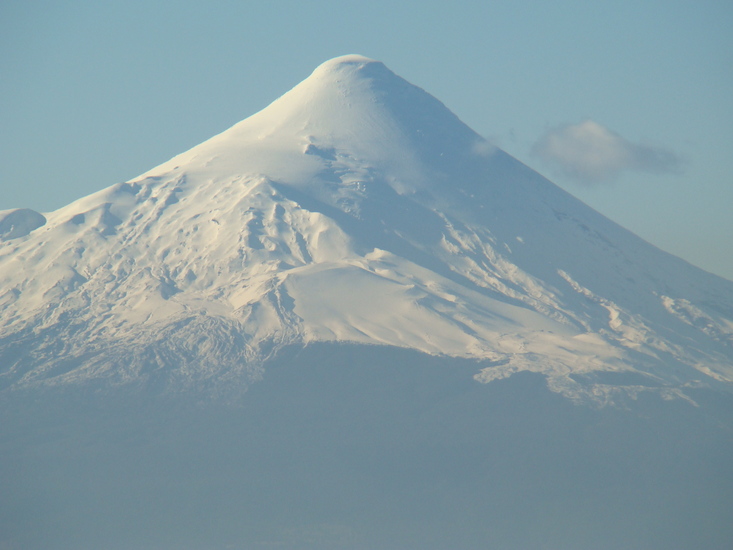
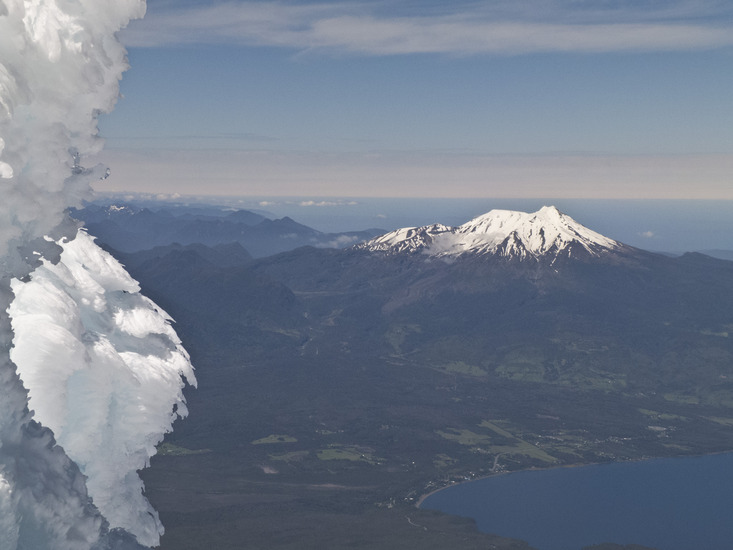
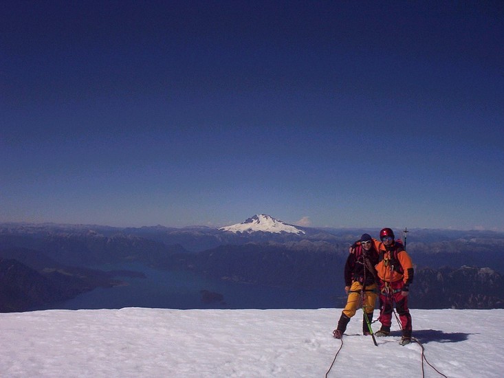
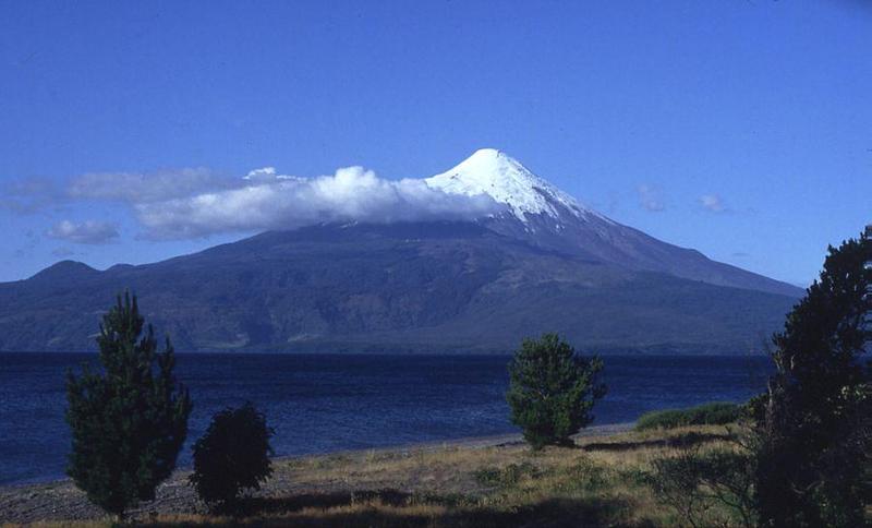
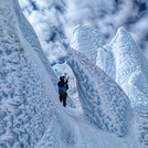
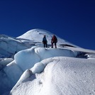
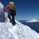
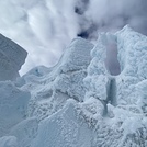
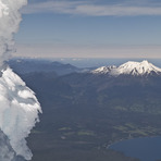
Osorno (volcano) mountain guide
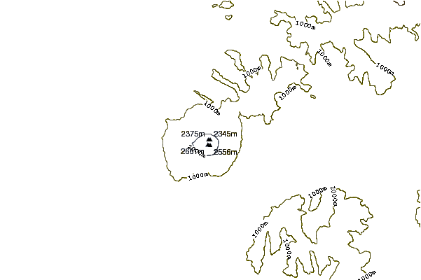
- Elevation: 2652 m
- Difficulty:
- Best months to climb:
- Convenient center:
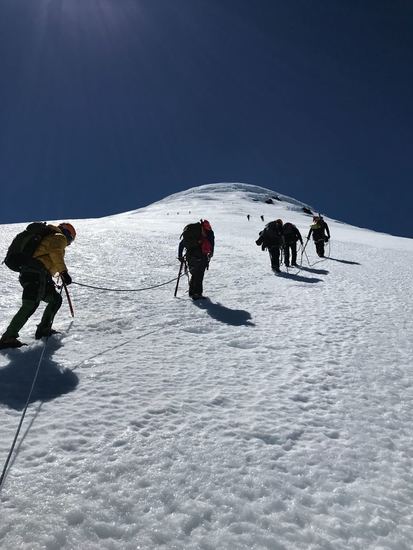
Osorno (volcano) Climbing Notes
Tatjana from CHILE writes:
Hello,
My name is Tatiana, I am 36 am from the Netherlands.
I would like to make climbing to mountain Vulcano Osorno, in Chile, with professional coaching, but I'm not a professional mountaineer, rather it is my first experience to climb.
I am in good athletic condition and am really motivated.
Can you give me some independent advice, whether it is wise in order to make a trip for me like that?
If so, maybe some mountaineer tips?
Thanks in advance,
Regards, Tatjana.
2014-10-21 |
Click here to submit your own climbing note for Osorno (volcano)
|
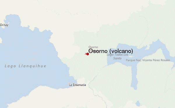
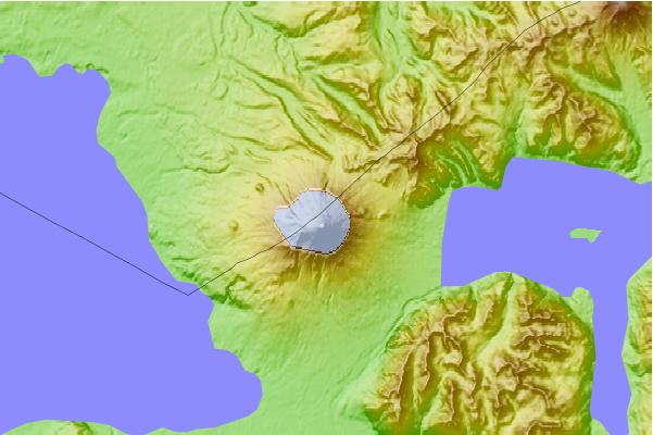
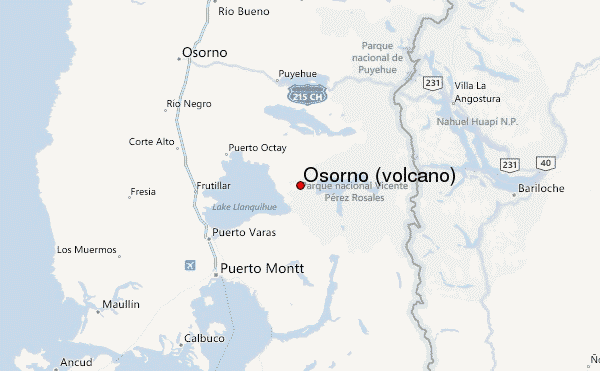
Select Osorno (volcano) Location Map Detail:
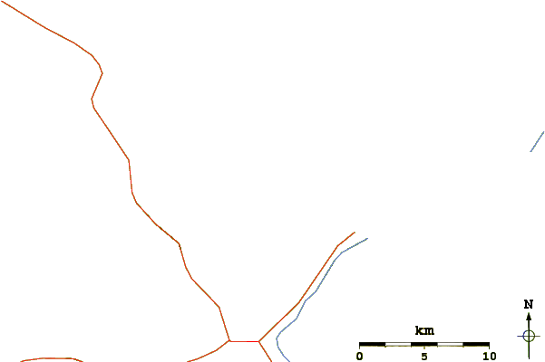
Use this relief map to navigate to mountain peaks in the area of Osorno (volcano).
10 other mountain peaks closest to Osorno (volcano):
 Osorno (volcano) – Climbing, Hiking & Mountaineering information
 Like us
 Follow us
