– Lat/Long: 41.16° S 71.89° W

ArCerro Tronador – Climbing, Hiking & Mountaineering information

Placeholder

Cerro Tronador mountain guide

AMANECER, Cerro Tronador photo

Cerro Tronador

Photo credit: Mónica

Luna Llena en Tronador, Cerro Tronador photo

Cerro Tronador

Photo credit: Eduardo López

TRONADOR DESDE LAGUNA ILON, Cerro Tronador photo

Cerro Tronador

Photo credit: LUCAS CANEPA

Cerro Tronador from Cerro Otto photo

Cerro Tronador

Photo credit: Martin

  • Elevation: 3478 m
  • Difficulty: Technical Climb
  • Best months to climb: January, February, March, November, December
  • Convenient center: San Carlos de Bariloche

Cerro Tronador Climbing Notes

Craig Ross from ARGENTINA writes:

Hi. I am an Argentine Mountain Guide (UIAGM)
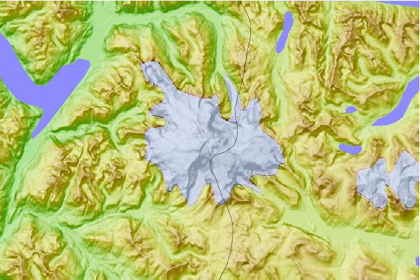
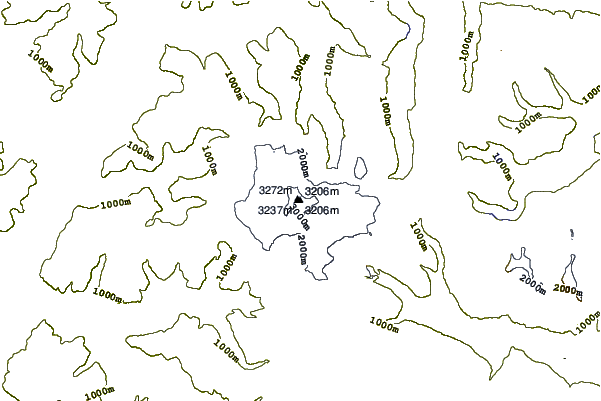
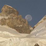
Tronador has 3 peaks, International is the highest and most technical. The Argentine is the easiest and most climbed, Chilean is pretty hard to access due to the conditions of the glaciers.
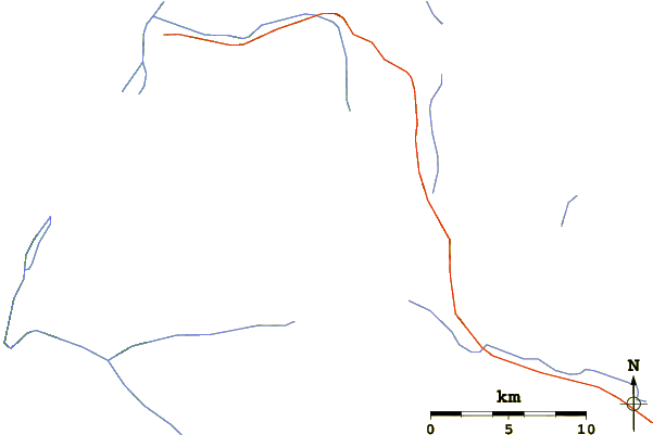
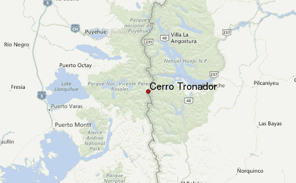
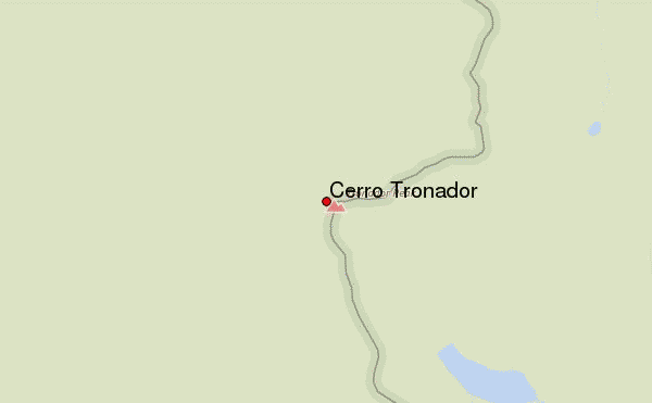
To access the argentine peak, head to Pampa Linda in the National Park Nahuel Huapi. Its a 4 to 5 hs trek up to the Meiling hut, a beautiful hike with incredible views!!
From here its an average 10/12 hs round trip to the summit, always on a snow covered Glacier which means having to rope up for safety purposes, there are plenty of crevasses, more or less covered by snow depending on the time of the year and the weather conditions. Once at the col or pass between the Int´l and Argentine peak, it get a little steeper and exposed, depending on the conditions you´ll need to fix a rope or manage safety in some way.
Ideal to climb is from September to dec/jan with skis, really good or also by foot through march.
Depending on the season, some very dry and hot summers the summit has not been climbed due to very little ice left and lots of rock fall.
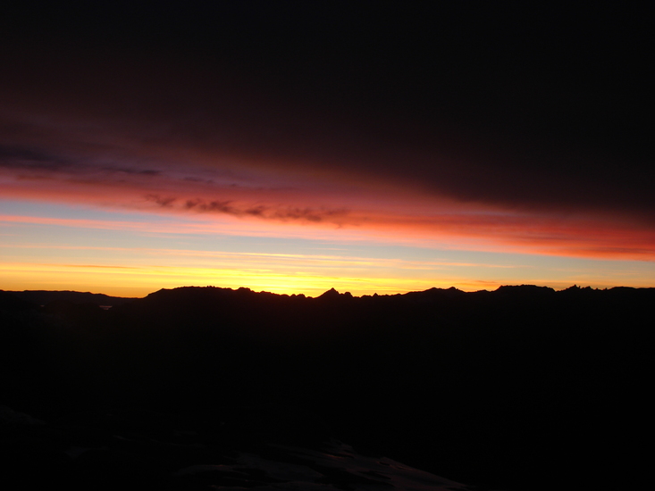
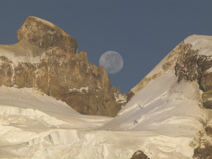
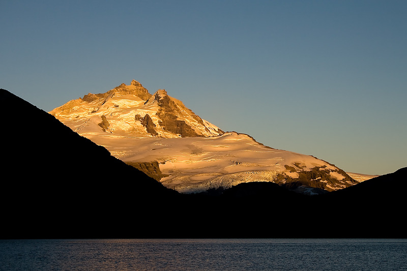
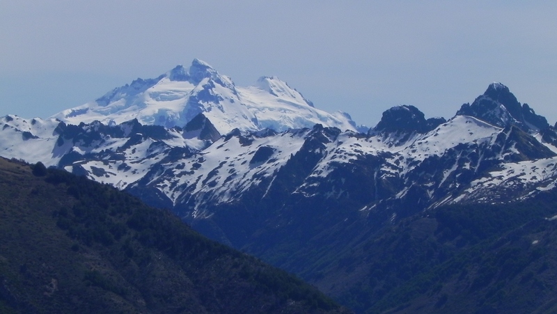
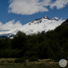
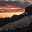
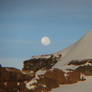
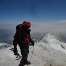
Hope this is helpful, its a beautiful mountain, I´ll add some pics!!!

2013-01-06

Click here to submit your own climbing note for Cerro Tronador

Cerro Tronador Location Map

Select Cerro Tronador Location Map Detail:


Latest Gallery Images for Cerro Tronador

visit the
gallery
or click to view
Cerro TronadorAtardecer en Cerro TronadorLUNA LLENA cumbre internacional (tronador)

Upload your photo of Cerro Tronador

Select a mountain summit from the menu
Select a Mountain Summit
Surf breaks located close to Cerro Tronador Mountain peaks around Cerro Tronador Roads and rivers around Cerro Tronador

Use this relief map to navigate to mountain peaks in the area of Cerro Tronador.

10 other mountain peaks closest to Cerro Tronador:

1. Cerro Volcánico (1930 m) 18.1 km
2. Cerro Catedral (2405 m) 36.9 km
3. Puntiguido-cordon Cenizos (2493 m) 38.0 km
4. Puntiagudo-Cordón Cenizos (2493 m) 38.0 km
5. Cerro Pantoja (2112 m) 43.7 km
6. Casablanca (volcano) (2240 m) 44.3 km
7. Antillanca Group (1990 m) 48.6 km
8. Osorno (811 m) 51.1 km
9. Osorno (volcano) (2652 m) 51.1 km
10. Cerro Bayo (1782 m) 52.0 km