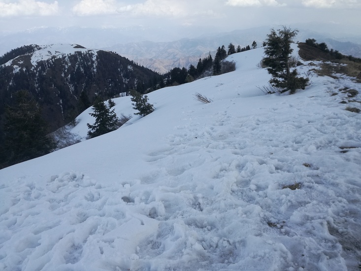
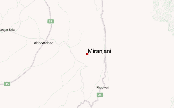
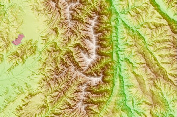
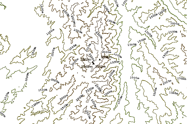
This is a great peak and it is highest (9700 Feet) of the Galyat Region of Pakistan. One can take its trekking map from the Dunga Gali (4Km from Nathia Gali).
I did its trek in July 2010.
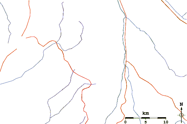
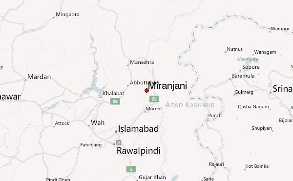
Nathia Gali is at 2.30 hour drive from Islamabad via murree. From murree it take 1.15 hour. Public Transport is available at Faizaabad and Pir Wadhai Bus Terminals of Islamabad/Rawalpindi Pakistan.
A good trekker can reach it in 2.30 hours (08 Km trekking). Best time to start trek is after breakfast and lunch can be back at Nathia Gali.
Take 1.5+litre Bottle of water with you. You may also take biscuits, slice or lunch beverages to be eat at the top.
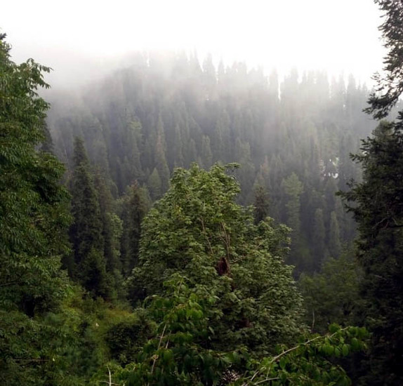
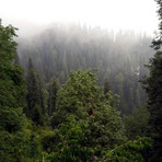
The top offer scenic views of next virgin hills. The trek can be more extended up to Dagri Rest House, Beeran Gali Rest House and upto Thandiani (02-03 Days)
Guide can be hired near Governor House Nathia Gali. Which may charge 500 or so.
From Nathia Gali main bazar, use road near Taj Mahal Hotel to Go to Governer House side.
I completed this trek in 2.30 hour.
Further more treks there are, Nathia Gali to Mukshpuri via Lalazar, Dunga Gali to Mukshpuri, Dunga Gali to Lalazar, Dunga Gali to Ayubia. Ayubia to Khanaspur, Ayubia to Changla Gali.
Ayubia to Dunga Gali (04 Km) trek elevation 8200 feet, very easy trek is a must. It passes through the Ayubia National Park. This trek is best for families, ladies and kids above 5 year of age.
Sher Dil.
 Miranjani – Climbing, Hiking & Mountaineering information
 Like us
 Follow us
