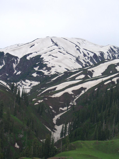
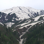
Makra Peak mountain guide
- Elevation: 3586 m
- Difficulty:
- Best months to climb:
- Convenient center:
Makra Peak Climbing Notes
shafique-ur-rehman from PAKISTAN writes:
SHORTEST, EASIEST AND MOST BEAUTIFUL ROUTE OF MAKRA PEAK.
I along with two friends Yasir and Muneeb summet the Makra Peak on 28 August, 2015.we reached Shogran by jeep at 1100 hrs and proceeded to Sirri Paya by a hiking of 3 hours. We camped there and visited Paya Plains (PAYA-I, II, III). It a very beautiful place. On 29 August, 2015 at 0900 hrs we left Paya for Makra Peak and after four and half an hours we reached at the summit. There was no snow at the top except in Makra glacier.we had lunch there and passed about two hours. Weather was changed and it was started rain during return to Paya. On 31 August, 2015 we returned via Faridabad (Bhopnja). It was a hike of 5 hours in the forest.
2015-09-02 |
Click here to submit your own climbing note for Makra Peak
|
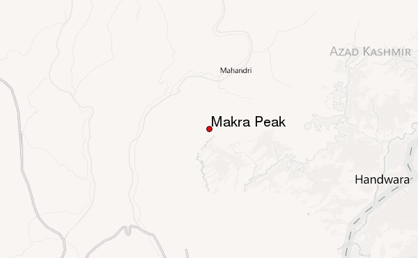
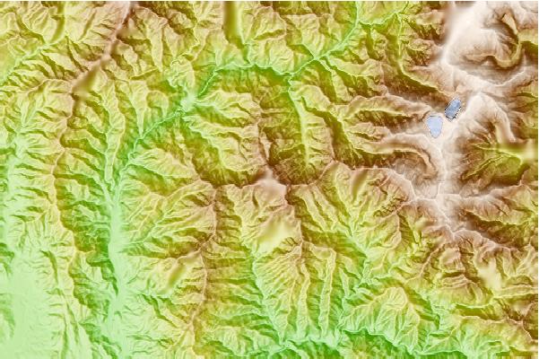
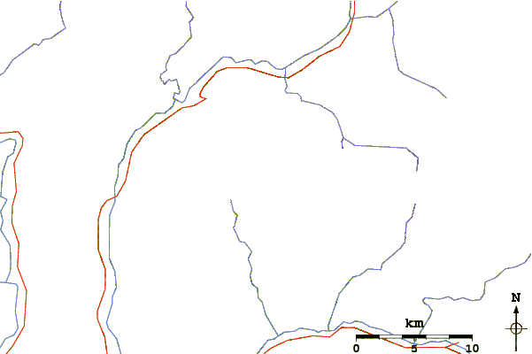
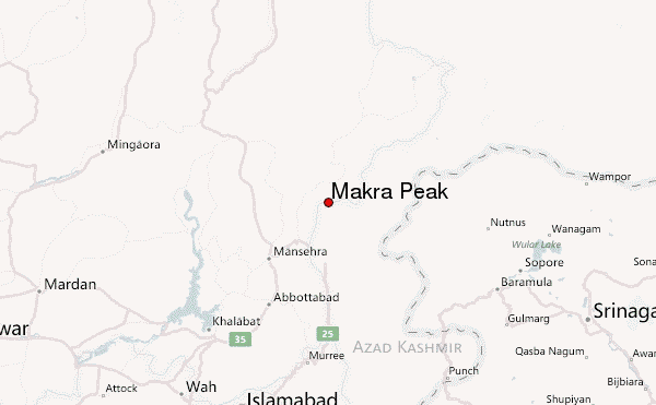
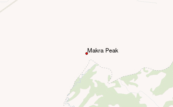
Select Makra Peak Location Map Detail:
Use this relief map to navigate to mountain peaks in the area of Makra Peak.
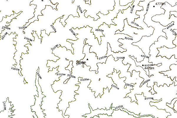
10 other mountain peaks closest to Makra Peak:
 Makra Peak – Climbing, Hiking & Mountaineering information
 Like us
 Follow us
