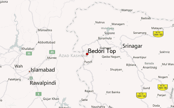
– Lat/Long: 34.00° N 74.15° E
 Bedori Top – Climbing, Hiking & Mountaineering information
Bedori Top – Climbing, Hiking & Mountaineering information
Bedori Top mountain guide
- Elevation: 3727 m
- Difficulty: Walk up
- Best months to climb: May, June, July, August
- Convenient center: Forward Kahuta
Bedori Top Climbing Notes
Click here to read 2 more climbing notes for Bedori Top or submit your own |

| Select a
mountain summit from the menu |
||
|
Select a Mountain Summit
|
||
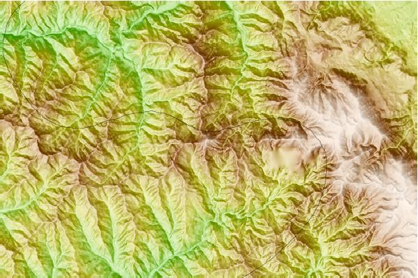
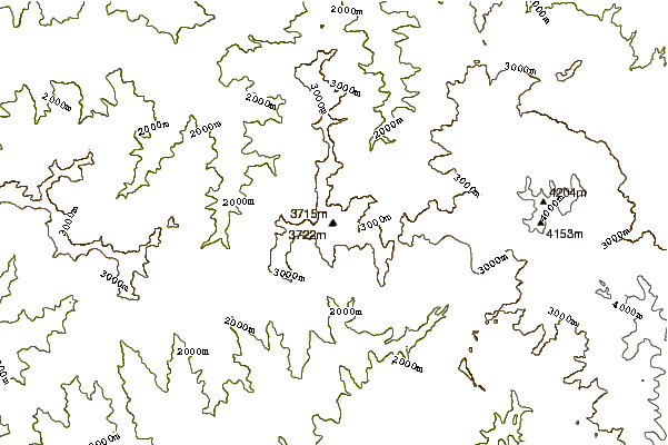
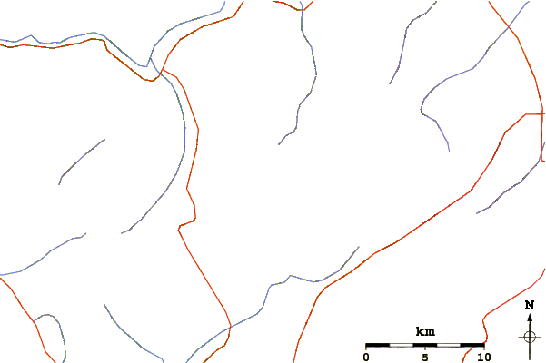
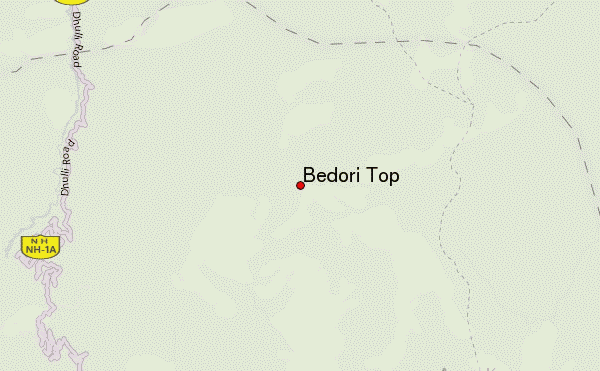
Use this relief map to navigate to mountain peaks in the area of Bedori Top.
10 other mountain peaks closest to Bedori Top:
| 1. | Miranjani (2980 m) | 70.0 km |
| 2. | Makra Peak (3586 m) | 88.1 km |
| 3. | Malika Parbat (5290 m) | 98.1 km |
| 4. | Kolhoi Peak (5425 m) | 109.9 km |
| 5. | Sirbal Peak (5236 m) | 119.7 km |
| 6. | Amarnath Peak (5186 m) | 125.8 km |
| 7. | Laila Peak (Rupal Valley) (5971 m) | 126.5 km |
| 8. | Shaigiri (5584 m) | 130.4 km |
| 9. | Machoi Peak (5458 m) | 134.4 km |
| 10. | Rupal Peak (5642 m) | 134.9 km |
 Like us
 Follow us
