ghalat,residence of forgotten ancestors
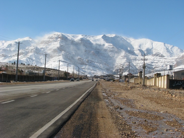
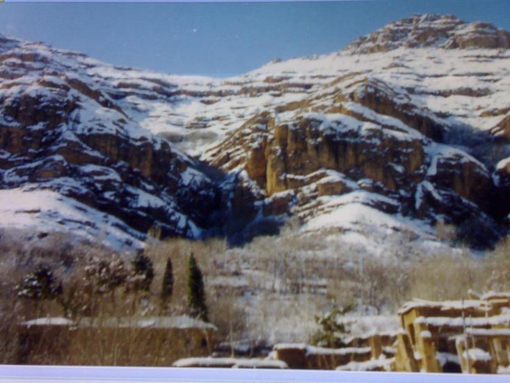
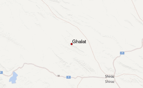
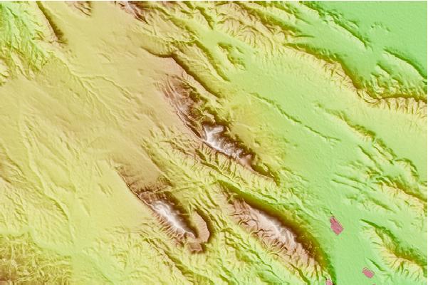
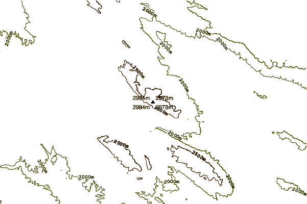
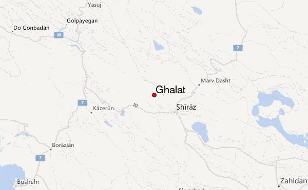
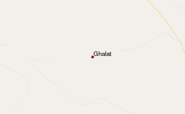
I'm from Shiraz, but Ghalat village under Ghalat mountains is my home town. Ghalat mountain is located north west of Shiraz-fars province in Iran. The appearance is like the Rocky Mountains. Ghalat mountains have an almost red colour.
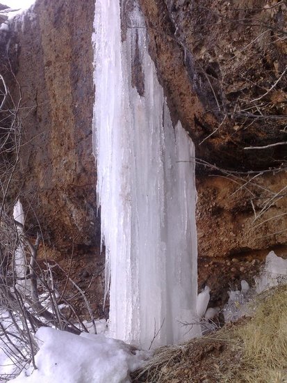
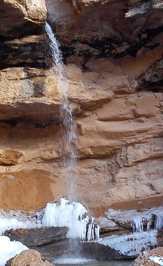
The height of mountains are almost 2888m. There are more than seven falls which some of them are seasonal falls. The height of falls almost goes to 50m to 100m and some of their names are Paye Takht (honour to coming king Mohammad Reza and Queen Farah to Ghalat and people made seat place near fall among rocks for them), Goreye Siyah, Tabgah, Sohonak, o ardbizak, nosare misho and Soley Shoparak (seasonal fall). Ghalat forest is the biggest natural forest park of Shiraz.
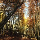
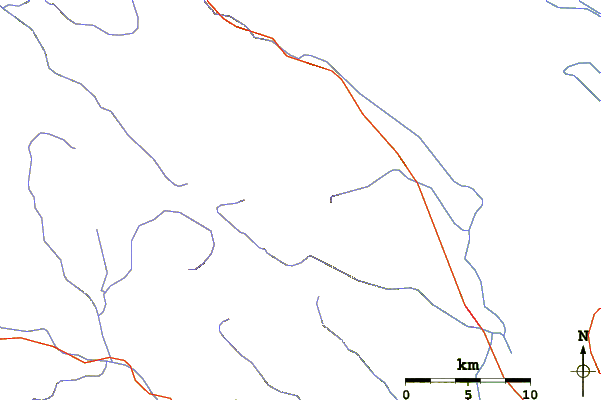
There are so many springs and rivers and have so many camping places like Paye Chenar, Shabshotori, Cheshme Aghaei, Gerdoshahri,......On the top of each fall there is a very beautiful small woodland.
Technical climbing is needed to climb and it's specially good for cliff hangers, but some easy ways allow access. Some parts like Koljoni near Goreye Siyah fall need technical experience to climb.
There is an ancient castle called Gezel Arsalan castle on the peak. Archaeologists can go there and search about its civilization. Ghalat village is an ancient village with 2500 years of history. Its houses are like stair way steps, so that the roof of one house is the yard of another. Another extraordinary thing is that village has ancient sewerage system from old era which is remained up to now. Passageways there in the village all covered by stone.
The village has an ancient church is called glory of Christ which is surrounded by charming gardens. Ghalat people resisted Mongol attacks in 1732 and because of that, King Nader of that time exempted Ghalat people from paying tax.
 Ghalat – Climbing, Hiking & Mountaineering information


