Dena Guide

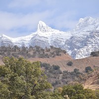
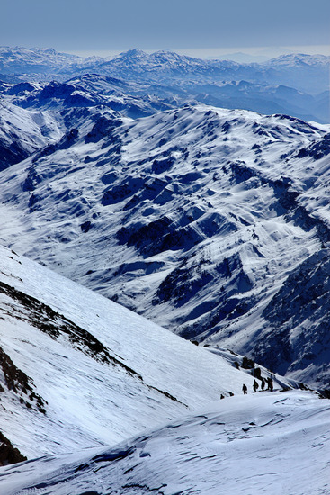
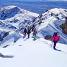
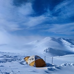
Dena
Photo credit: Ehsan Kalantari

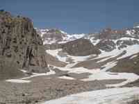
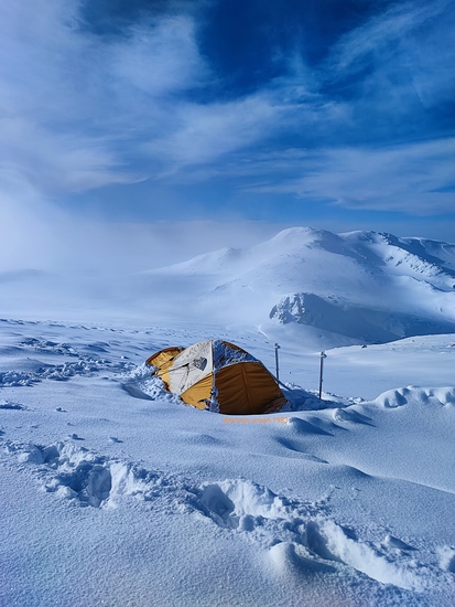
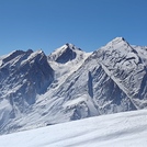
Dena
Photo credit: Hosein ansari
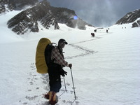
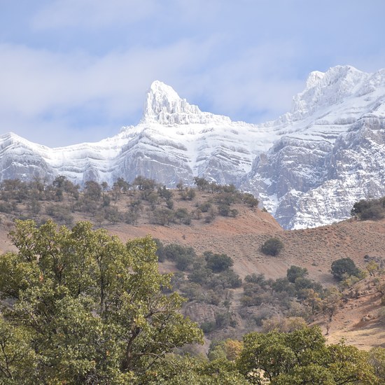
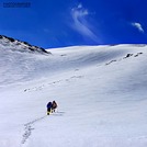
Dena
Photo credit: Mohammad javad esmi
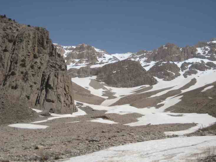
Dena
Photo credit: Ali Kasravi
Dena
Photo credit: mahdi
- Elevation: 4407
- Difficulty: Walk up
- Best months to climb: January, February, March, April, May, June, July, August, September, October, November, December
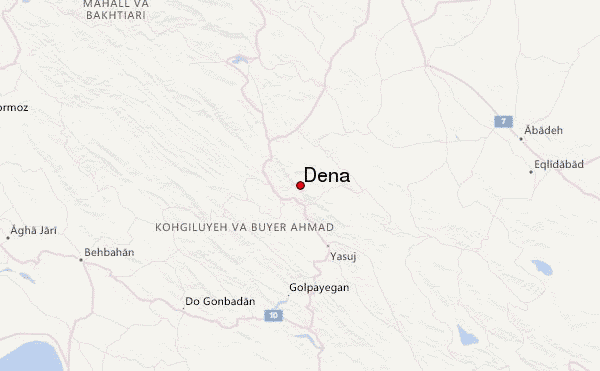
- Convenient center: yasouj
Dena climbers Notes
alireza sharafzadeh from CANADA writes:
I was there in the top of the mountain in 1972 at the age of 19 almost 45 years ago, and I remember it was in the middle of winter in the month of December we where there as part of a crew of five for the construction of main building for Iranian air force station I was working there for almost two weeks and I will never forgot the newly build round and snaky road leading us to the pick of the mountain so, to tell you how much I love it there it's enough for your reader to know that I named my home improvement company Dena in the year 1990 in north Vancouver, so thank you everyone for your hard work, best regard. ALI.
2017-12-14 |
Click here to read 3 more climbing notes for Dena or submit your own
|
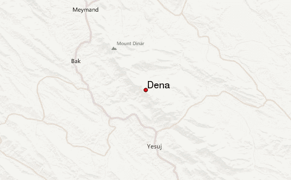
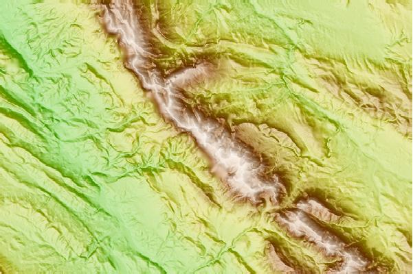
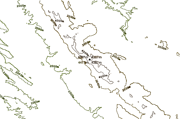
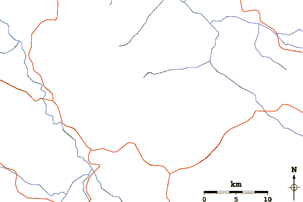
Select Dena Location Map Detail:
Use this relief map to navigate to mountain peaks in the area of Dena.
10 other mountain peaks closest to Dena:
 Dena – Climbing, Hiking & Mountaineering information

