– Lat/Long: 32.36° N 50.08° E
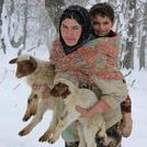
 Zard-Kuh – Climbing, Hiking & Mountaineering information

Zard-Kuh Guide
- Elevation: 4200
- Difficulty: -
- Best months to climb: -
- Convenient center: -
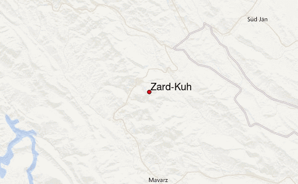
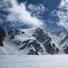
Zard-Kuh climbers NotesBe the first to submit your climbers note! Please submit any useful information about climbing Zard-Kuh that may be useful to other climbers. Consider things such as access and accommodation at the base of Zard-Kuh, as well as the logistics of climbing to the summit. |

| Select a
mountain summit from the menu |
||
|
Select a Mountain Summit
|
||
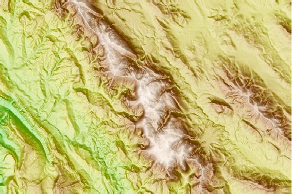
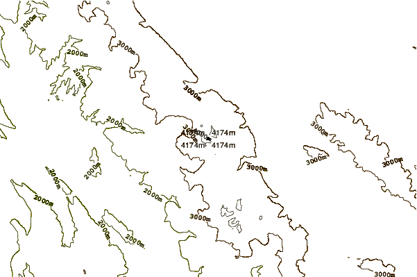
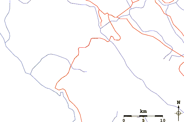
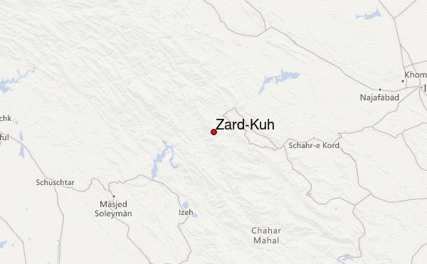
Use this relief map to navigate to mountain peaks in the area of Zard-Kuh.
10 other mountain peaks closest to Zard-Kuh:
| 1. | Mt Zard (4521 m) | 2.1 km |
| 2. | هفت تنان (4070 m) | 31.4 km |
| 3. | Keyno (3701 m) | 85.2 km |
| 4. | Jahanbin-na (3150 m) | 117.8 km |
| 5. | San-Boran (4150 m) | 130.4 km |
| 6. | سن بران (4150 m) | 130.4 km |
| 7. | Sofeh (2257 m) | 149.2 km |
| 8. | Karkas (3895 m) | 201.6 km |
| 9. | Dena (4407 m) | 203.3 km |
| 10. | Garrin Mountain (Velash Peak) (3630 m) | 231.5 km |