Dorfak mountain guide
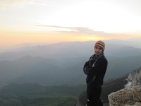
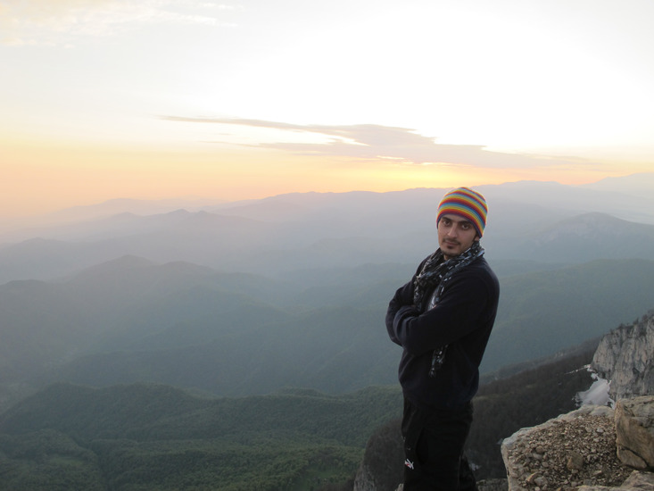
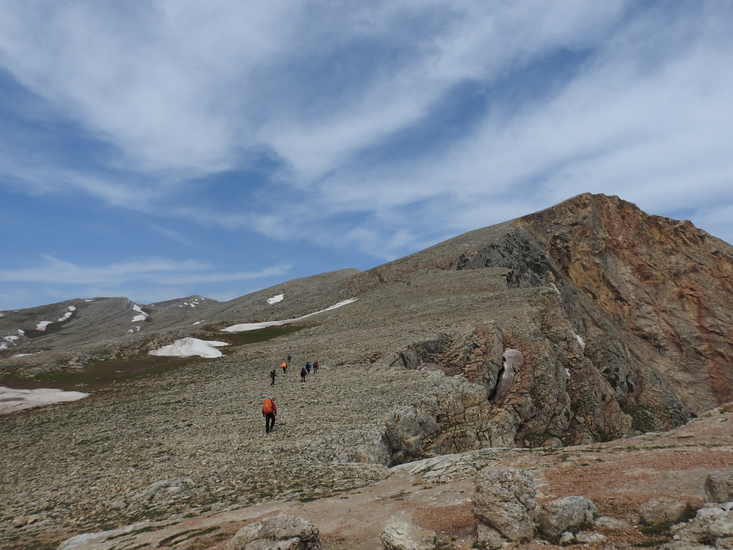
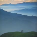
Dorfak
Photo credit: mehdi.saadat

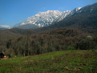
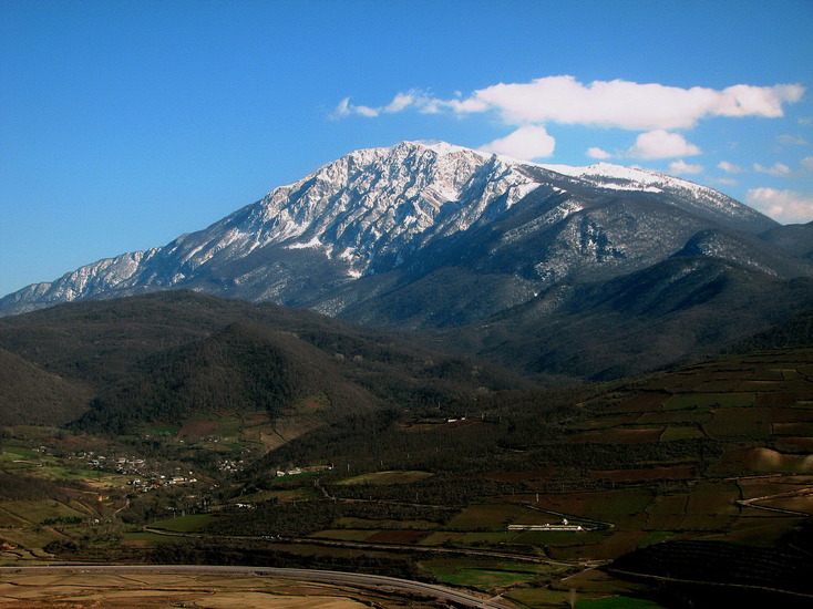
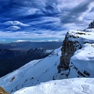
Dorfak
Photo credit: Masood Salimpoor
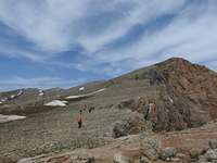
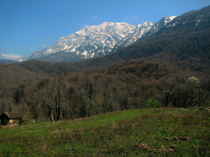
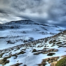
Dorfak
Photo credit: Masood Salimpoor
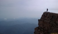
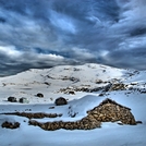
Dorfak
Photo credit: Saeed Tayarani
Dorfak
Photo credit: mohammad reza shiri
- Elevation: 2731 m
- Difficulty: Moderate Mountaineering
- Best months to climb: November, June
- Convenient center: Rasht
Dorfak Climbing Notes
hossein fallah from IRAN, ISLAMIC REPUBLIC OF writes:
Hi. Ihave uploaded my photo of Dorfak in your site and it has been saved but I can not see my photo in page of dorfak photos.please answer me because I have a lot of photos of Dorfak in different seasons and want to put them in your site.
[Editor replies: Thank you for these excellent images. All images uploaded have to be checked to make sure they are suitable for showing. The delay is usually less than one day]
2013-12-06 |
Click here to read 5 more climbing notes for Dorfak or submit your own
|
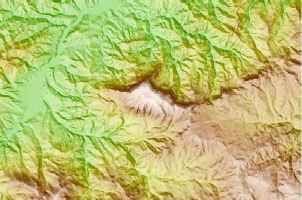
Select Dorfak Location Map Detail:
Use this relief map to navigate to mountain peaks in the area of Dorfak.
10 other mountain peaks closest to Dorfak:
 Dorfak – Climbing, Hiking & Mountaineering information


 Like us
 Follow us
