Alam Kuh or Alum Kooh mountain guide
- Elevation: 4850 m
- Difficulty: Technical Climb
- Best months to climb: July, August
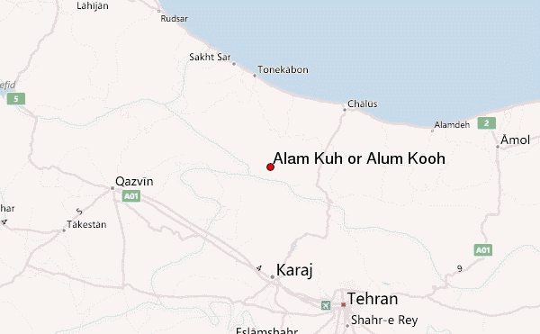
- Convenient center: Tehran
Alam Kuh or Alum Kooh Climbing Notes
Ayaz Saeidzadeh from IRAN, ISLAMIC REPUBLIC OF writes:
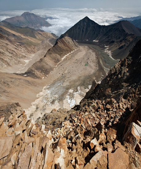
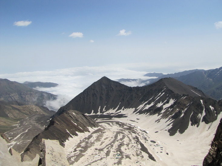
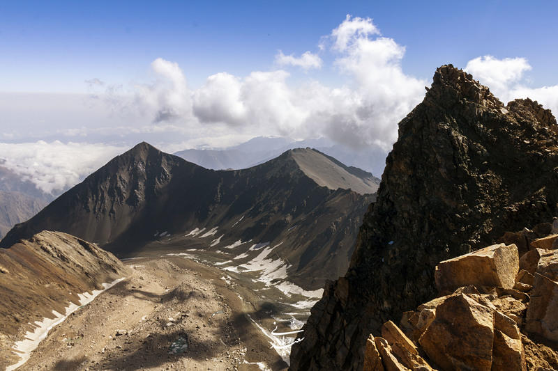
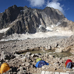
The north face of this peak creates vertical walls of Alam Kooh and Shakhak. There is a perfect 350m wall under the summit of Shakhak sometimes it can be seen even more impressive than an Alam Kooh wall in some photos which have the height range between 350m and 600m (including steep glacier). Alam Kooh famous for its wall. The fame is for being the wall having the highest altitude at base and peak, no other wall in Iran is located in a higher place than Alam Kooh wall. There is a glacier name Alamchal at the base of the north face that slightly rises to about 4200m. Then there is about 150m to 200m, very steep glacier (nearly vertical). And the wall rises about 450m vertical granite rock up to the summit.
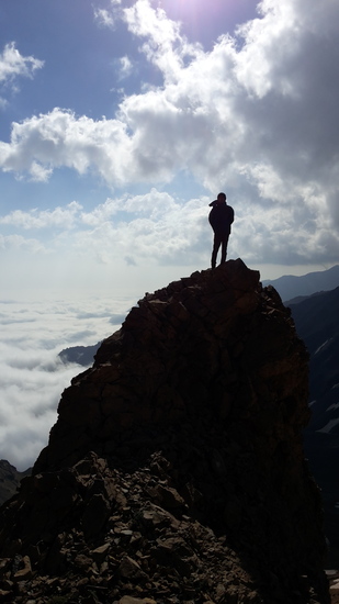
Climbing Mount Alam (Alam Kooh) via all north routes is class five high altitude technical climbs which need to hard struggle with rock, ice and rock.
Climbing Alam Kooh by any route in winter is difficult and technical.
2021-08-02 |
Click here to read 4 more climbing notes for Alam Kuh or Alum Kooh or submit your own
|
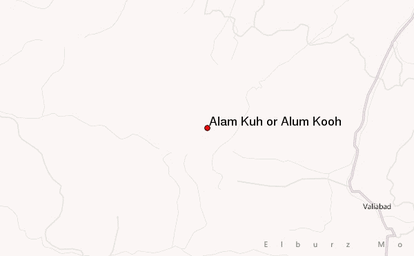
Select Alam Kuh or Alum Kooh Location Map Detail:
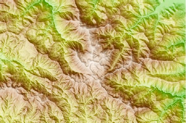
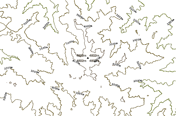
Use this relief map to navigate to mountain peaks in the area of Alam Kuh or Alum Kooh.
10 other mountain peaks closest to Alam Kuh or Alum Kooh:
 Alam Kuh or Alum Kooh – Climbing, Hiking & Mountaineering information


 Like us
 Follow us
