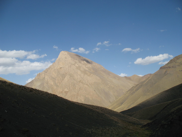
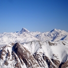
آزاد کوه Guide
- Elevation: 4390
- Difficulty: Moderate Mountaineering
- Best months to climb: June, July, August
- Convenient center: Tehran
آزاد کوه climbers Notes
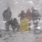
Nader Palang from IRAN writes:
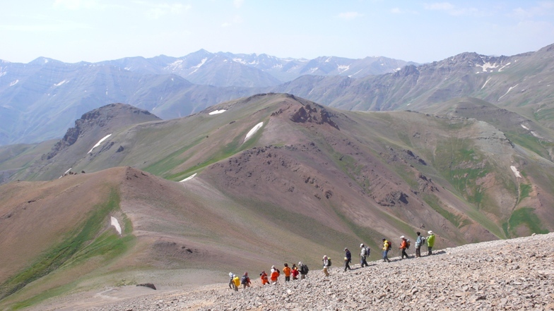
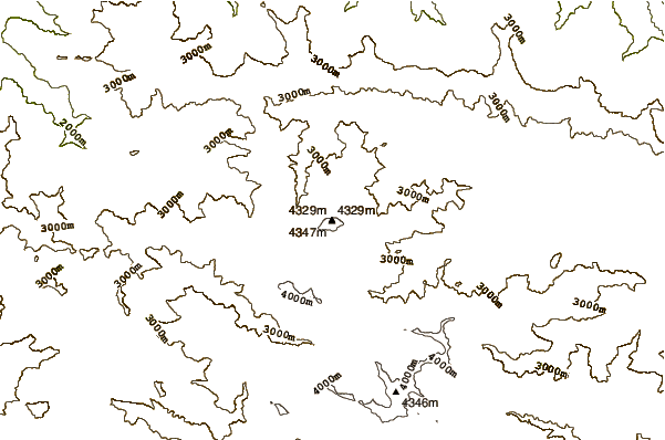
There are 3 pathways to reach to the peak; NW:Nessen village, NE: Kalak Bala village and SW:Varange-rud village.
The longest path is trough Varange rud and the shortest is via Kalak-Bala. You need a 2day climbing to reach the Azad-kuh trough Nessen or Varange-rud.
2011-06-02 |
Click here to read 1 more climbing note for آزاد کوه or submit your own
|
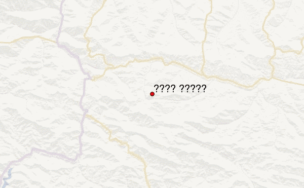
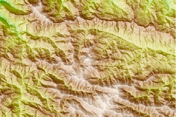
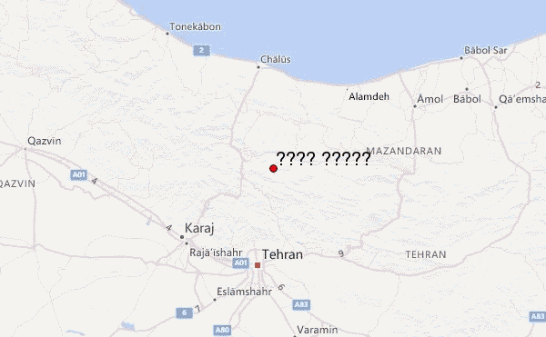
Select آزاد کوه Location Map Detail:
Use this relief map to navigate to mountain peaks in the area of آزاد کوه.
10 other mountain peaks closest to آزاد کوه:
 آزاد کوه (Azad Kuh or Shah-zaade Kaj Gardan) – Climbing, Hiking & Mountaineering information