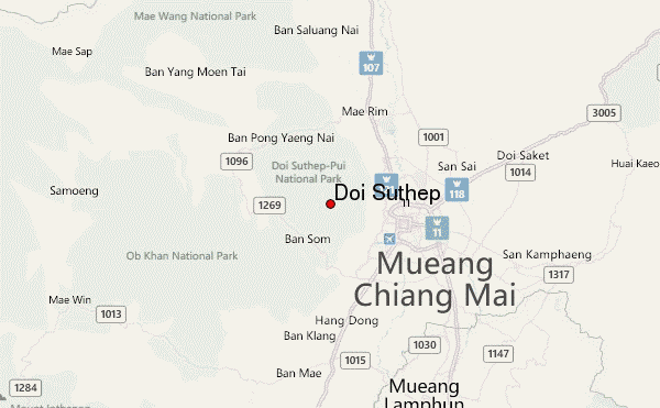
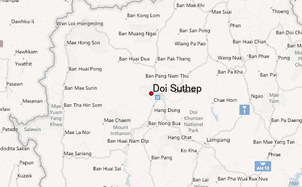
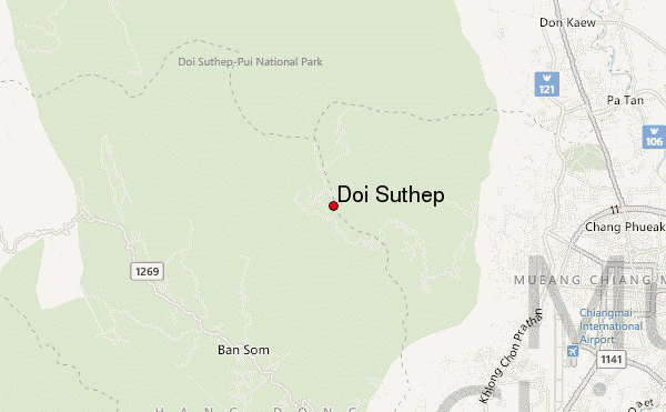
– Lat/Long: 18.81° N 98.89° E
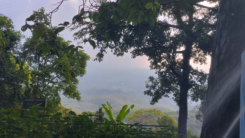
 Doi Suthep – Climbing, Hiking & Mountaineering information
Doi Suthep – Climbing, Hiking & Mountaineering information
Doi Suthep mountain guide
- Elevation: 1676 m
- Difficulty:
- Best months to climb:
- Convenient center:
Doi Suthep Climbing NotesBe the first to submit your climbing note! Please submit any useful information about climbing Doi Suthep that may be useful to other climbers. Consider things such as access and accommodation at the base of Doi Suthep, as well as the logistics of climbing to the summit. |
| Select a
mountain summit from the menu |
||
|
Select a Mountain Summit
|
||
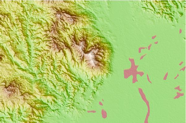
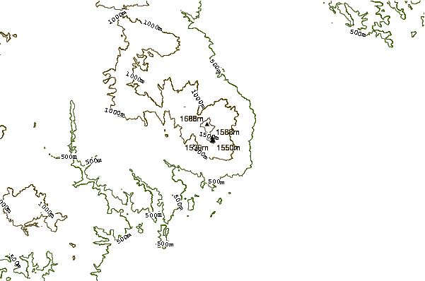
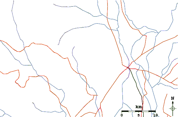
Use this relief map to navigate to mountain peaks in the area of Doi Suthep.
10 other mountain peaks closest to Doi Suthep:
| 1. | Doi Inthanon (2565 m) | 49.5 km |
| 2. | Doi Mae Tho (2031 m) | 57.9 km |
| 3. | Doi Chiang Dao (2175 m) | 65.4 km |
| 4. | Doi Luang, Phi Pan Nam Range (1694 m) | 97.7 km |
| 5. | Nattaung (2623 m) | 196.1 km |
| 6. | Doi Tung (1389 m) | 197.0 km |
| 7. | Doi Nang Non (830 m) | 198.0 km |
| 8. | Mela Taung (2080 m) | 199.0 km |
| 9. | Phu Chi Fa (1442 m) | 200.4 km |
| 10. | Doi Phu Kha (1980 m) | 231.2 km |

 Like us
 Follow us
