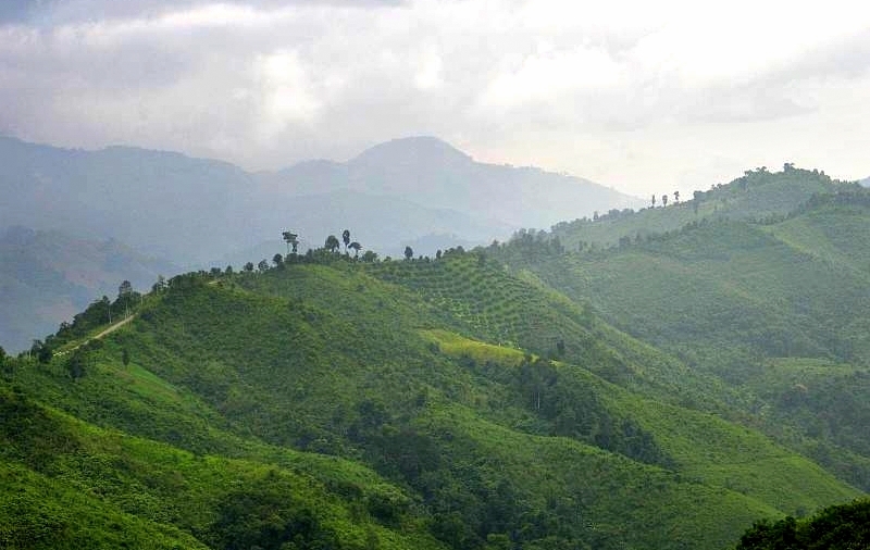
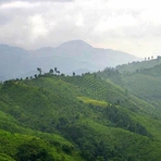
Doi Phu Kha mountain guide
- Elevation: 1980 m
- Difficulty:
- Best months to climb:
- Convenient center:
Doi Phu Kha Climbing Notes
Florence from FRANCE writes:
There are no publicly open walking trails to the summit, but you have a nice 4 kms walking trail loop in the forest (2H walking). Start 100m before the headquarters on your right.
There is a small fee to enter the park (200THB if foreigner, 100 if thai) and a range of facilities (toilet, restaurant from 7AM to 5PM). As accommodation, you have small huts (200THB for 2 pers), bungalows and campsite.
You can get to Doi Phu Kha national park by Songtheo from Pua or Bo klua but easier by car or motorbike.
2014-01-27 |
Click here to submit your own climbing note for Doi Phu Kha
|

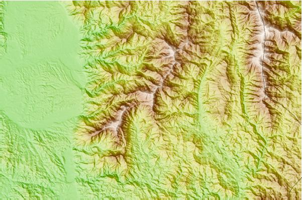
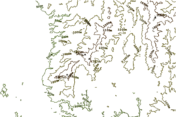
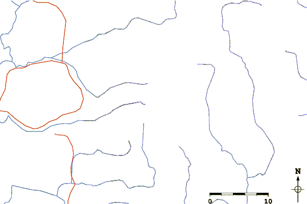
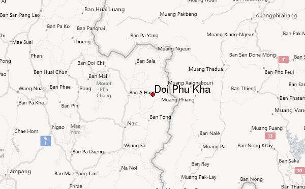
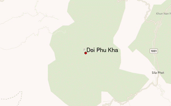
Select Doi Phu Kha Location Map Detail:
Use this relief map to navigate to mountain peaks in the area of Doi Phu Kha.
10 other mountain peaks closest to Doi Phu Kha:
 Doi Phu Kha – Climbing, Hiking & Mountaineering information
 Like us
 Follow us
