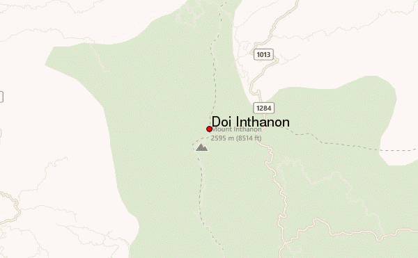
Doi Inthanon guide
- Elevation: 2565 m
- Difficulty:
- Best months to climb:
- Convenient center:
Doi Inthanon Climbing Notes
Roland from AUSTRALIA writes:
Doi Inthanon is very straight forward to climb. Currently the only way to reach the summit is by car. There are no publicly open walking trails to the summit.
There is a small fee to enter the park, and a range of facilities near the summit (toilet, restaurant, even a gift shop).
The actual summit takes less than 5 minutes to walk to from the carpark at the summit.
Doi Inthanon can be climbed year round, although temperatures can drop below zero (C) during the winter months.
There is a good blog for further details on getting to/from Doi Inthanon and other things to do in the park at doiinthanon.net
2012-01-05 |
Click here to submit your own climbing note for Doi Inthanon
|

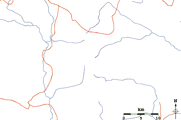
Select Doi Inthanon Location Map Detail:
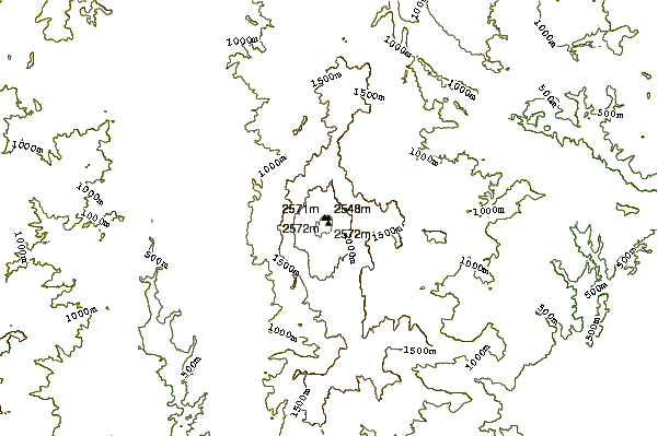
Use this relief map to navigate to mountain peaks in the area of Doi Inthanon.
10 other mountain peaks closest to Doi Inthanon:
 Doi Inthanon – Climbing, Hiking & Mountaineering information


