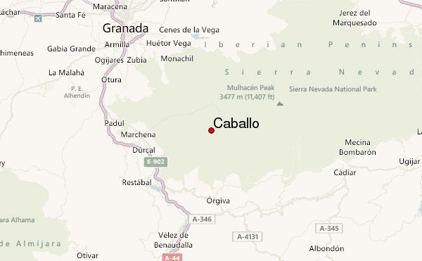
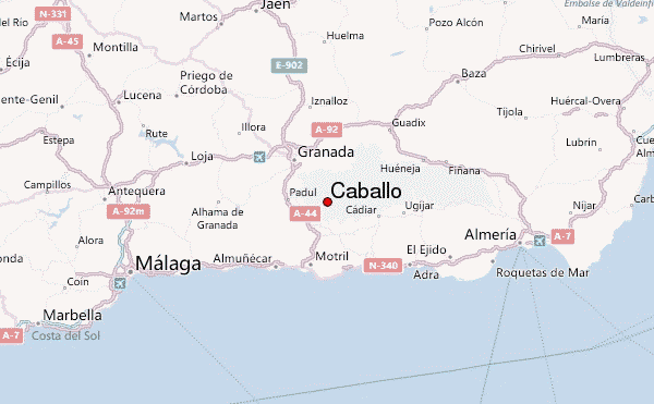
Caballo is the most westerly 3000m peak in Europe, and makes for a superb if sometimes challenging climb. The spa town of Lanjarón is a good starting point, where there is a wide range of accommodation, including the reasonably priced and very friendly Hotel Lanjarón or the more upmarket Alcadima.
From Lanjarón, you can either follow a marked walking trail up the east bank of the Rio Lanjarón or drive 20km up a dirt track, which zig zags up the mountain from the western end of the town. The latter means the summit can be comfortably reached in around 3 hours.
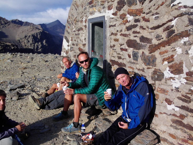
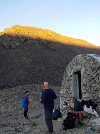
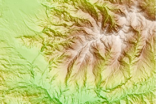
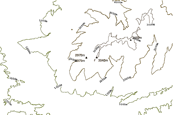
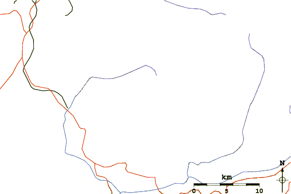
From the road-head a marked path leads to the ruined refuge of Ventura. Here there is a choice of ways to the summit. Our preference is to head upwards to the ridge following a feint path towards the rocky outcrops. Here you often see a herd of Cabra de Montes watching your progress from the rocks. Having gained the ridge, follow it until you meet an alternative path coming up a loose scree slope. This path then contours round the mountain to another ruined building, from which a feint trail follows a shoulder to the summit.
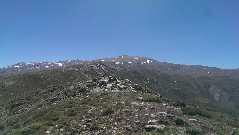
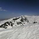
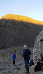
From the summit, there are spectacular views of the Sierra Nevada range to the north, and Africa to the south. From here you can descend to a small lake, then pick a route back round the mountain to return the same way, or descend to the Rio Lanjarón and follow it down to a newly built water channel, which contours round to the Ventura refuge.
An alternative starting point is the village of Niguelas from which a difficult dirt track winds into the mountains to a parking area on the north east ridge. From here a well defined path follows the ridge to the summit. This is an easier path, but requires a 4x4 vehicle for access.
Like much of the Sierra Nevada, the mountain should not be underestimated. Winds can make walking very difficult in autumn and in winter slopes above 2500m are often snow covered and may require ice axe and crampons.
 Caballo – Climbing, Hiking & Mountaineering information

 Like us
 Follow us
