Pico Veleta mountain guide
- Elevation: 3398 m
- Difficulty: Walk up
- Best months to climb: June, July, August, September
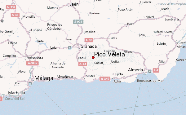
- Convenient center: Granada
Pico Veleta Climbing Notes
Giles Birch from SPAIN writes:
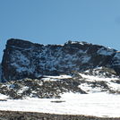
This is not too difficult ascent but the following should be noted:
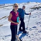
1. There are no waterways or streams en-route so pack plenty of fresh water.
2. It is all very exposed with little or no shade so dress accordingly as it can get hot under the summer sun in spite of the altitude whilst at the same time chill winds at the top can be deceiving from lower down.
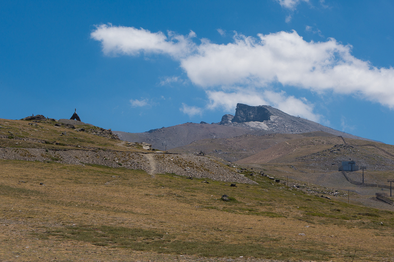
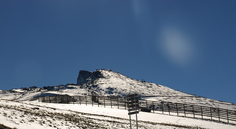
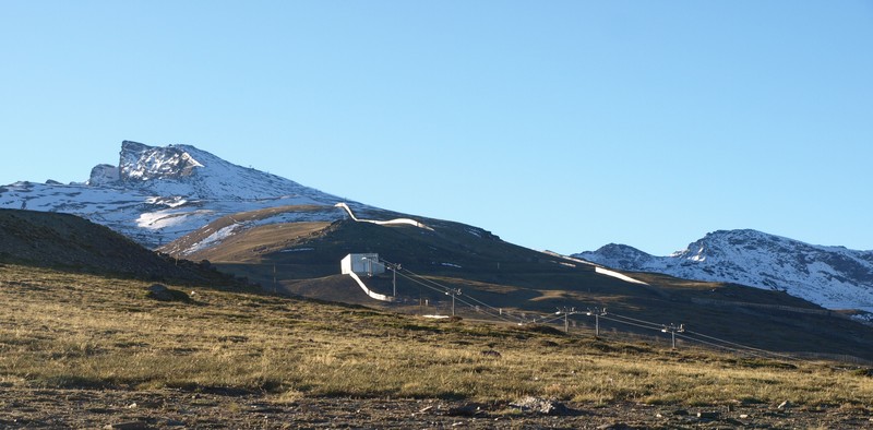
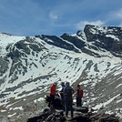
3. The most convenient starting point is at the Hoya de la Mora, located right at the top of the ski village at the Military base where the road is cut off for public vehicles.
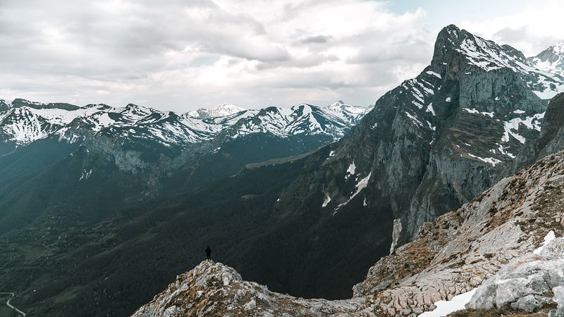
4. An interesting circuit worth making once the summit has been reached is to continue down into the Laguna de las Yeguas and cut out at the observatory and down into Borreguiles. From there the track heads back across to the starting point. All in all this should take no more than around 6 hours hiking including stops.
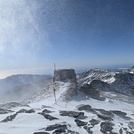
5. The "Carigüela" mountain shelter is located just down from the peak on the ridge as you head towards the Laguna de las Yeguas. It is usually in a pretty decent state to spend the night.
Enjoy!
2010-06-21 |
Click here to submit your own climbing note for Pico Veleta
|

Select Pico Veleta Location Map Detail:
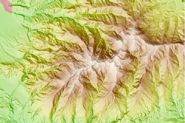
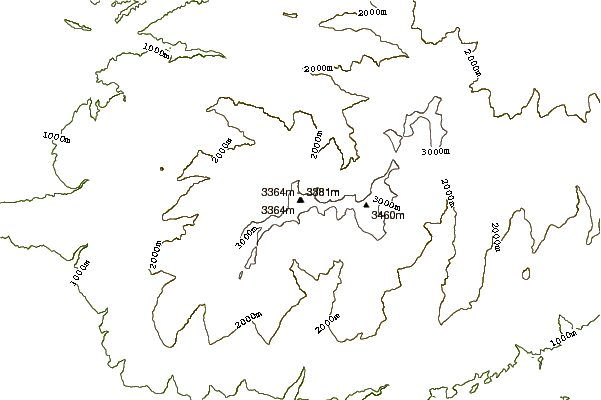
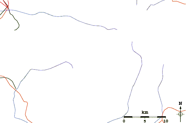
Use this relief map to navigate to mountain peaks in the area of Pico Veleta.
10 other mountain peaks closest to Pico Veleta:
 Pico Veleta – Climbing, Hiking & Mountaineering information

 Like us
 Follow us
