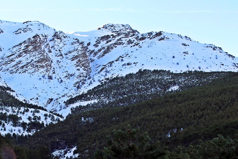
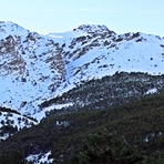
Almirez mountain guide
- Elevation: 2518 m
- Difficulty: Walk up
- Best months to climb: April, May, September
- Convenient center: Laujar de Andarax
Almirez Climbing Notes
Andrés from SPAIN writes:
La ascensión al Almirez por su corredor central es una de las actividades clásicas de iniciación al alpinismo en Sierra Nevada, ya que se trata de una vía sin excesivas dificultades. Transcurre por un corredor encajonado en la vertiente Norte.
http: //metioenverea.es/2011/11/cerro-del-almirez-por-el-corredor-de-ubeire/
2015-03-12 |
Click here to submit your own climbing note for Almirez
|
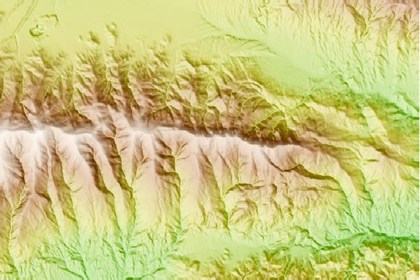
Select Almirez Location Map Detail:
Use this relief map to navigate to mountain peaks in the area of Almirez.
10 other mountain peaks closest to Almirez:
 Almirez – Climbing, Hiking & Mountaineering information
 Like us
 Follow us
