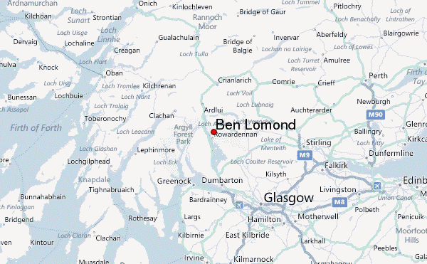
– Lat/Long: 56.18° N 4.63° W
 Ben Lomond – Climbing, Hiking & Mountaineering information
Ben Lomond – Climbing, Hiking & Mountaineering information
Ben Lomond mountain guide


- Elevation: 974 m
- Difficulty: Walk up
- Best months to climb: August, September
- Convenient center: Luss and Rowerdennan Hotel
Ben Lomond Climbing Notes
|
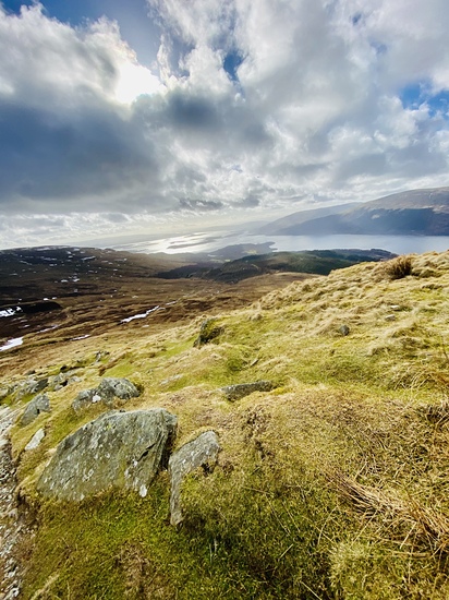
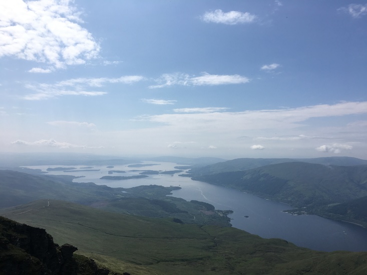
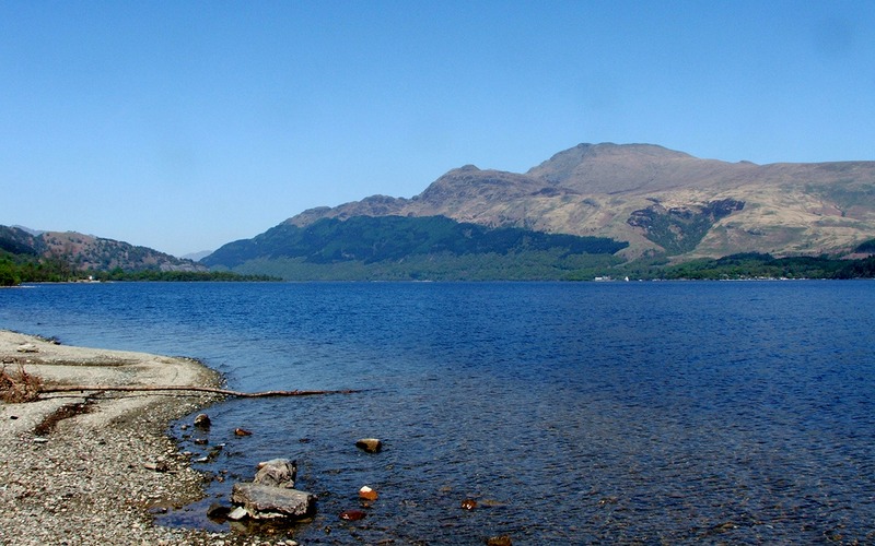
Latest Gallery Images for Ben Lomond

| Select a
mountain summit from the menu |
||
|
Select a Mountain Summit
|
||
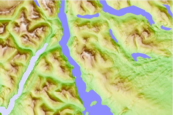
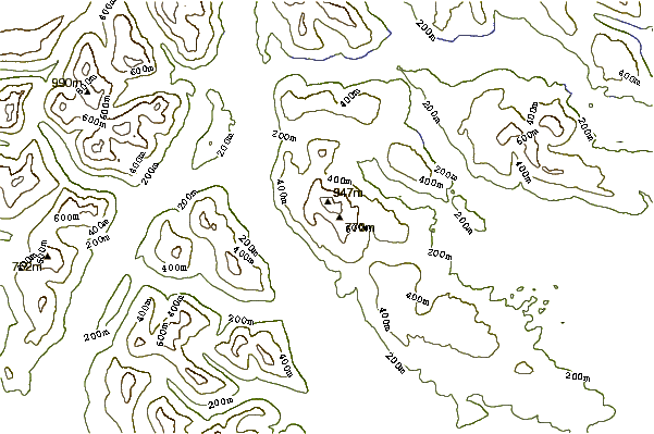
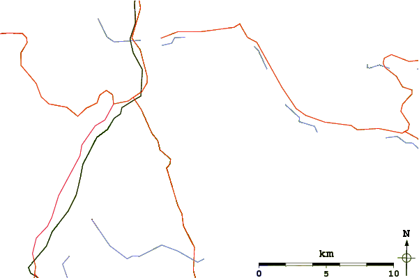
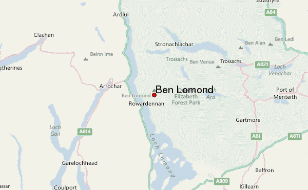
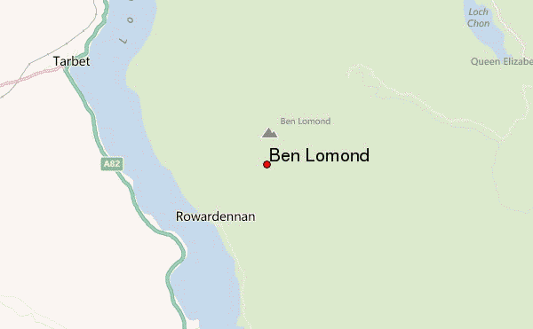
Use this relief map to navigate to mountain peaks in the area of Ben Lomond.
10 other mountain peaks closest to Ben Lomond:
| 1. | A' Chrois (848 m) | 9.6 km |
| 2. | The Cobbler (884 m) | 11.4 km |
| 3. | Ben Vane (915 m) | 11.8 km |
| 4. | Ben Venue (838 m) | 11.9 km |
| 5. | The Brack (787 m) | 12.2 km |
| 6. | Ben Vorlich (Loch Lomond) (943 m) | 12.5 km |
| 7. | Beinn Ime (1011 m) | 12.9 km |
| 8. | Cnoc Coinnich (761 m) | 13.3 km |
| 9. | Beinn Chorranach (847 m) | 13.4 km |
| 10. | Beinn Luibhean (858 m) | 13.7 km |

 Like us
 Follow us
