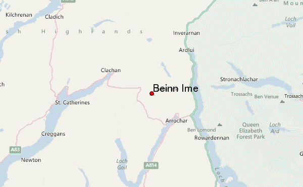
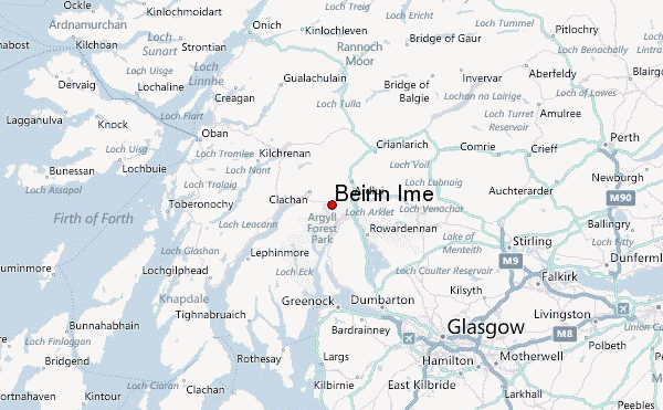
– Lat/Long: 56.24° N 4.82° W
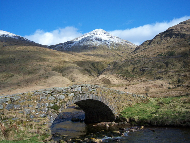
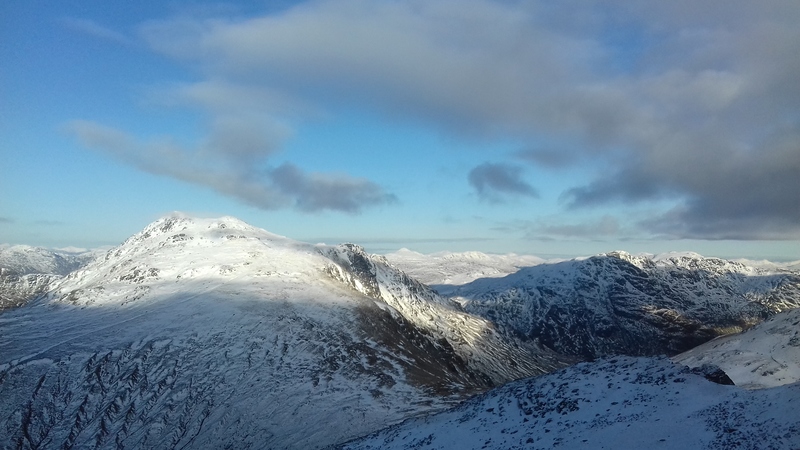
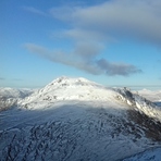
 Beinn Ime – Climbing, Hiking & Mountaineering information
Beinn Ime – Climbing, Hiking & Mountaineering information
Beinn Ime mountain guide
- Elevation: 1011 m
- Difficulty: Walk up
- Best months to climb: May, June, July, August
- Convenient center: Arrochar / Helensburgh / Dumbarton
Beinn Ime Climbing NotesBe the first to submit your climbing note! Please submit any useful information about climbing Beinn Ime that may be useful to other climbers. Consider things such as access and accommodation at the base of Beinn Ime, as well as the logistics of climbing to the summit. |
| Select a
mountain summit from the menu |
||
|
Select a Mountain Summit
|
||
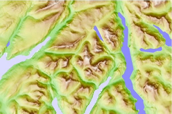
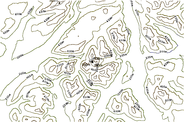
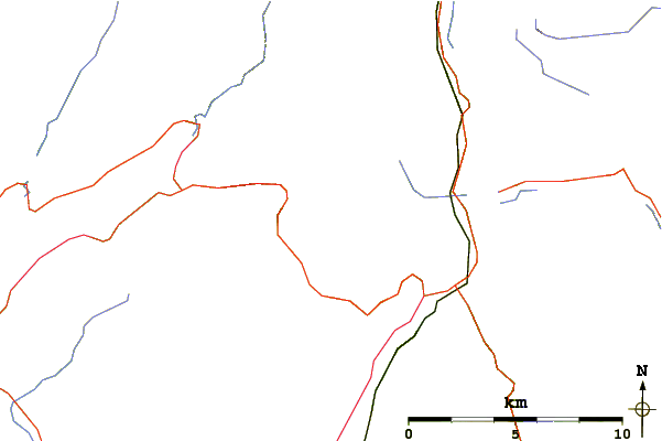
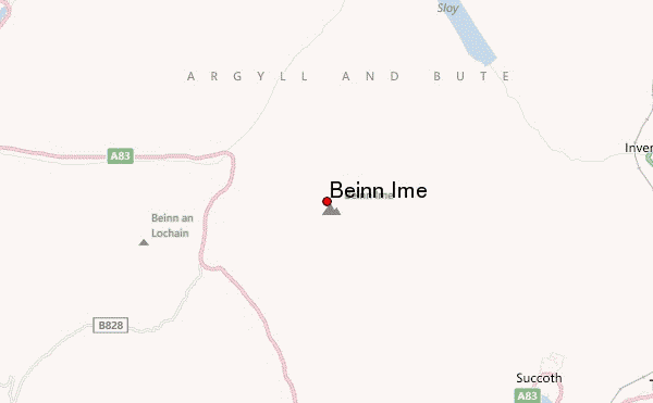
Use this relief map to navigate to mountain peaks in the area of Beinn Ime.
10 other mountain peaks closest to Beinn Ime:
| 1. | Beinn Chorranach (847 m) | 1.0 km |
| 2. | Beinn Luibhean (858 m) | 1.3 km |
| 3. | Ben Vane (915 m) | 2.6 km |
| 4. | The Cobbler (884 m) | 2.7 km |
| 5. | Binnein an Fhidhleir (817 m) | 3.4 km |
| 6. | A' Chrois (848 m) | 3.6 km |
| 7. | Beinn an Lochain (901 m) | 3.7 km |
| 8. | Ben Donich (847 m) | 5.2 km |
| 9. | Ben Vorlich (Loch Lomond) (943 m) | 5.5 km |
| 10. | The Brack (787 m) | 5.7 km |
 Like us
 Follow us
