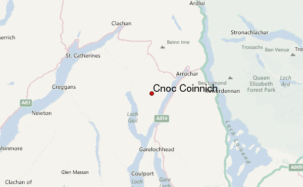
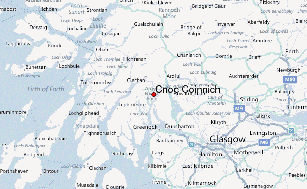
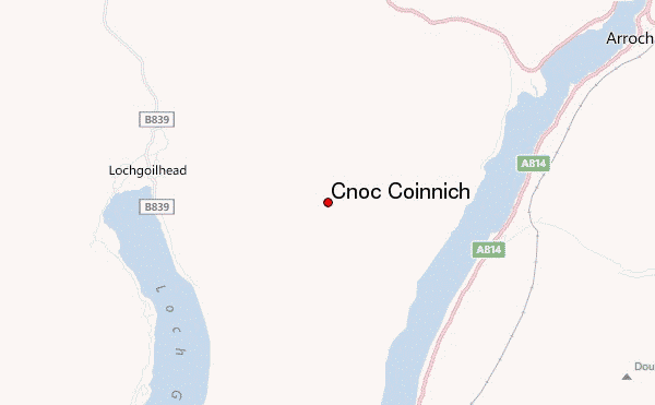
– Lat/Long: 56.17° N 4.85° W
 Cnoc Coinnich – Climbing, Hiking & Mountaineering information
Cnoc Coinnich – Climbing, Hiking & Mountaineering information
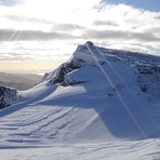
Cnoc Coinnich mountain guide
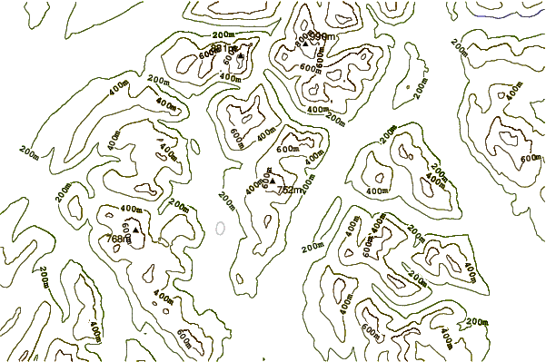
- Elevation: 761 m
- Difficulty: Walk up
- Best months to climb: May, June, July, August, September
- Convenient center: Arrochar
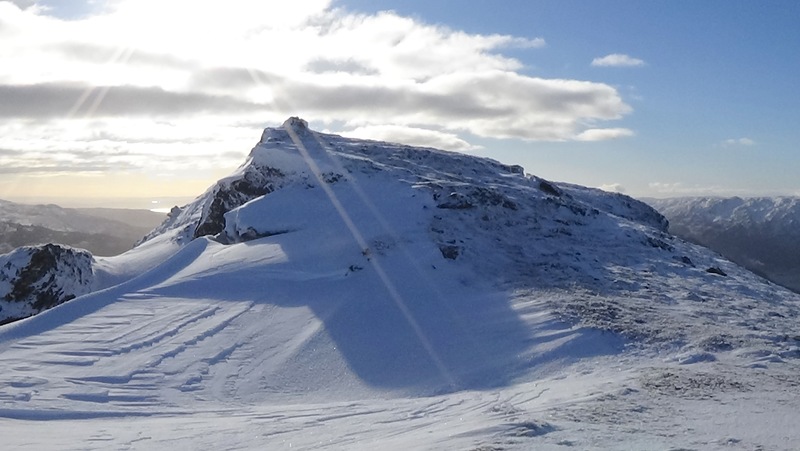
The Steeple is a mountain covered with brown bracken on it. You park in the village of Lochgoilhead and you walk up a path that goes up the mountain. You may find some grass snakes or even the odd adder.
Cnoc Coinnich Climbing NotesBe the first to submit your climbing note! Please submit any useful information about climbing Cnoc Coinnich that may be useful to other climbers. Consider things such as access and accommodation at the base of Cnoc Coinnich, as well as the logistics of climbing to the summit. |
| Select a
mountain summit from the menu |
||
|
Select a Mountain Summit
|
||
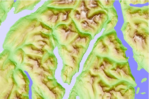
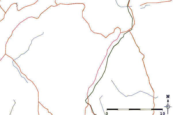
Use this relief map to navigate to mountain peaks in the area of Cnoc Coinnich.
10 other mountain peaks closest to Cnoc Coinnich:
| 1. | The Brack (787 m) | 2.5 km |
| 2. | Ben Donich (847 m) | 3.9 km |
| 3. | The Cobbler (884 m) | 5.8 km |
| 4. | Stob na Boine Druim-fhinn (658 m) | 6.7 km |
| 5. | Beinn Luibhean (858 m) | 7.2 km |
| 6. | Beinn an Lochain (901 m) | 7.3 km |
| 7. | Beinn Lochain (701 m) | 7.7 km |
| 8. | Beinn Ime (1011 m) | 8.1 km |
| 9. | Stob an Eas (732 m) | 8.2 km |
| 10. | Beinn Bheula (779 m) | 8.3 km |
 Like us
 Follow us
