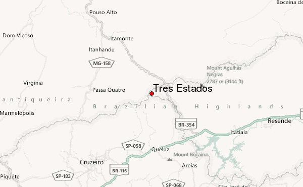
– Lat/Long: 22.40° S 44.80° W
 Tres Estados – Climbing, Hiking & Mountaineering information
Tres Estados – Climbing, Hiking & Mountaineering information
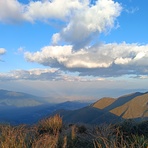
Tres Estados mountain guide
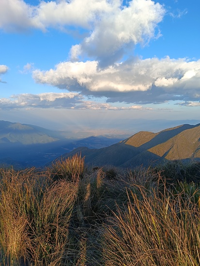
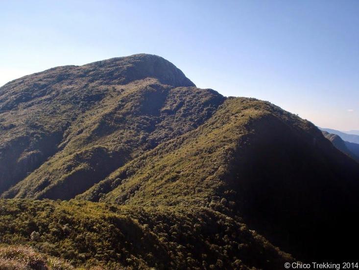
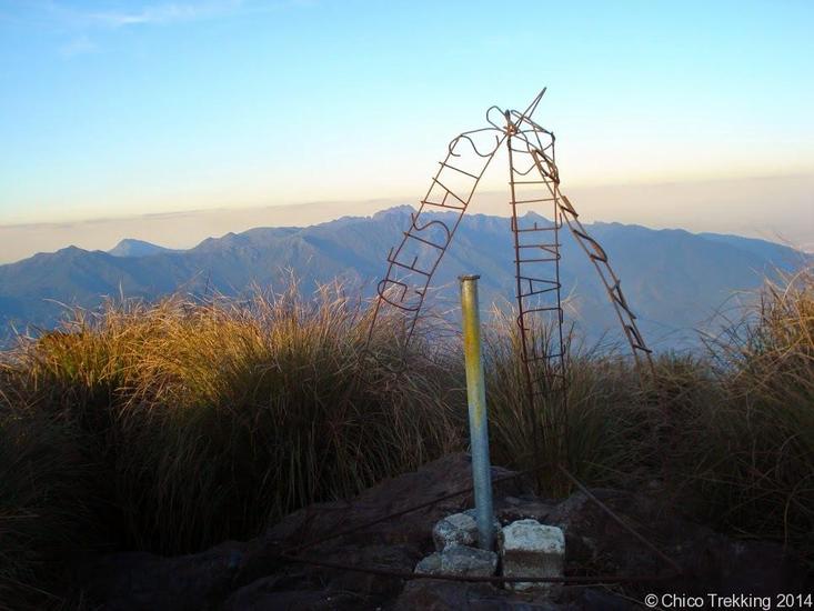
- Elevation: 2665 m
- Difficulty:
- Best months to climb: June, July, August
- Convenient center: Itamonte (MG)
Tres Estados Climbing NotesBe the first to submit your climbing note! Please submit any useful information about climbing Tres Estados that may be useful to other climbers. Consider things such as access and accommodation at the base of Tres Estados, as well as the logistics of climbing to the summit. |
| Select a
mountain summit from the menu |
||
|
Select a Mountain Summit
|
||
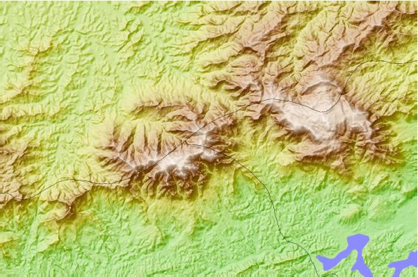
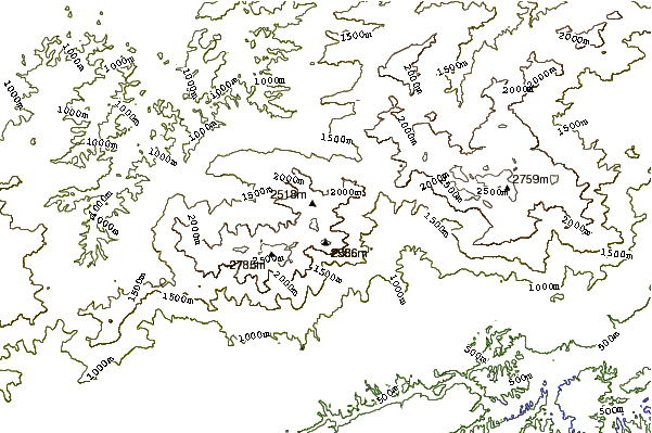
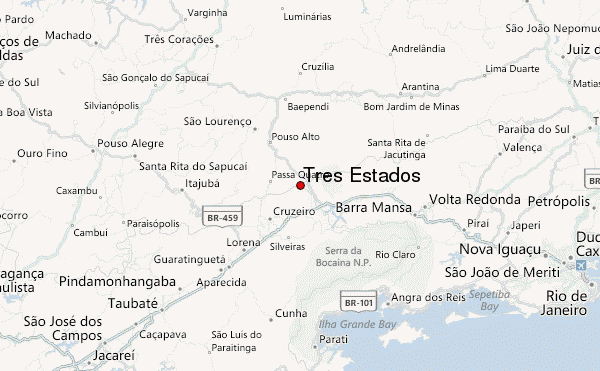
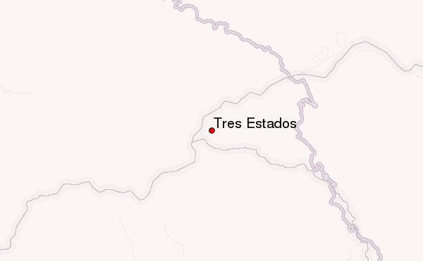
Use this relief map to navigate to mountain peaks in the area of Tres Estados.
10 other mountain peaks closest to Tres Estados:
| 1. | Pedra Da Mina (2797 m) | 5.4 km |
| 2. | Black Needles (2787 m) | 14.5 km |
| 3. | Pico das Agulhas Negras (2791 m) | 14.5 km |
| 4. | Pico Do Itatiaia (2787 m) | 17.3 km |
| 5. | Pico Frade (1450 m) | 66.8 km |
| 6. | Pedra do Baú (1950 m) | 94.2 km |
| 7. | Pedra de São Domingos (2050 m) | 123.5 km |
| 8. | Bonita Rock or Pedra Bonita (693 m) | 168.9 km |
| 9. | Pedra Da Gavea (700 m) | 169.1 km |
| 10. | Gavea Rock (842 m) | 169.1 km |
 Like us
 Follow us
