Pico Frade mountain guide
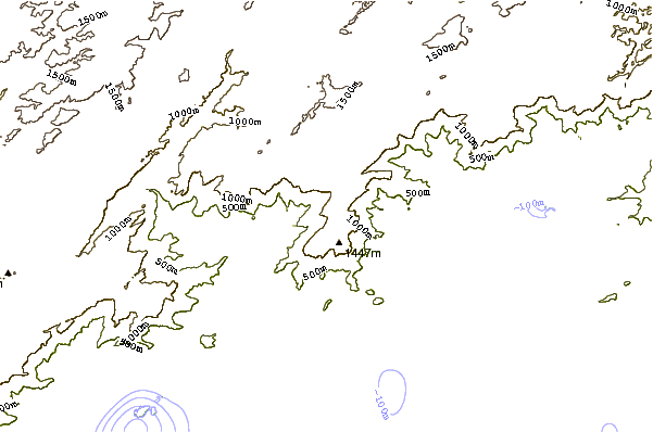
- Elevation: 1450 m
- Difficulty: Technical Climb
- Best months to climb: May, June, July, August
- Convenient center: Tapera
Pico Frade Climbing Notes
Julien from BRAZIL writes:
Best place I ever went in Brazil.
Better to do : Sleep in Pousada "Breijal" (From Bananal, 1hour at least, by car) one night before doing the trek. Carlinhos is very nice guy and will receive you very well.
After that, start to walk at maximum 8:00 Am in next day. You will need between 6 and 8 hours to reach the top. Access is not clear and it is mandatory to use tracklog (for example from Wikiloc).
You can sleep on the top of the peak (space for 2 to 3 tents) and enjoy the wonderful view for sunset and sunrise (all littoral between Angra and Paraty plus Ilha Grande plus Serra da mantiqueira)
Next day, go back to Pousada Breijal by same way, at least 5 hours to go down.
There is not technical climbing but last part to access the peak is a little complicate. Only be careful, not necessary climbing material (you can find some old ropes there)
2015-09-10 |
Click here to submit your own climbing note for Pico Frade
|
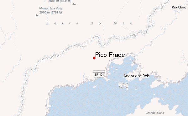
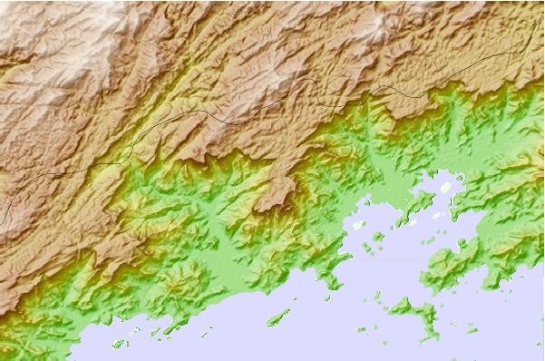
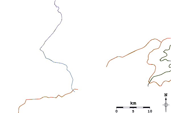
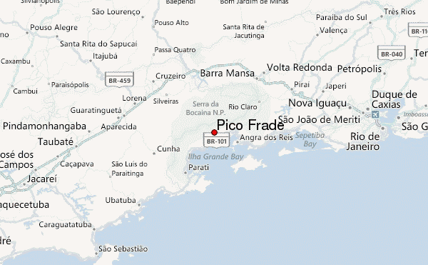
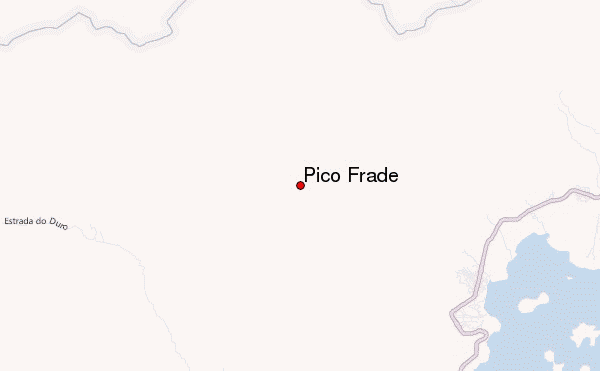
Select Pico Frade Location Map Detail:
Use this relief map to navigate to mountain peaks in the area of Pico Frade.
10 other mountain peaks closest to Pico Frade:
 Pico Frade – Climbing, Hiking & Mountaineering information
 Like us
 Follow us
