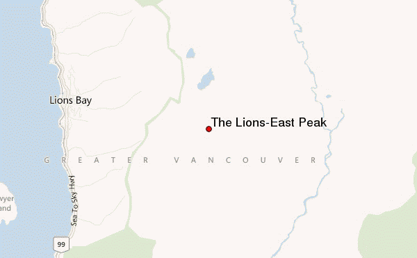
– Lat/Long: 49.45° N 123.17° W
 The Lions-East Peak – Climbing, Hiking & Mountaineering information
The Lions-East Peak – Climbing, Hiking & Mountaineering information
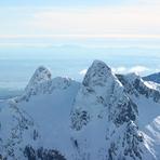
The Lions-East Peak mountain guide
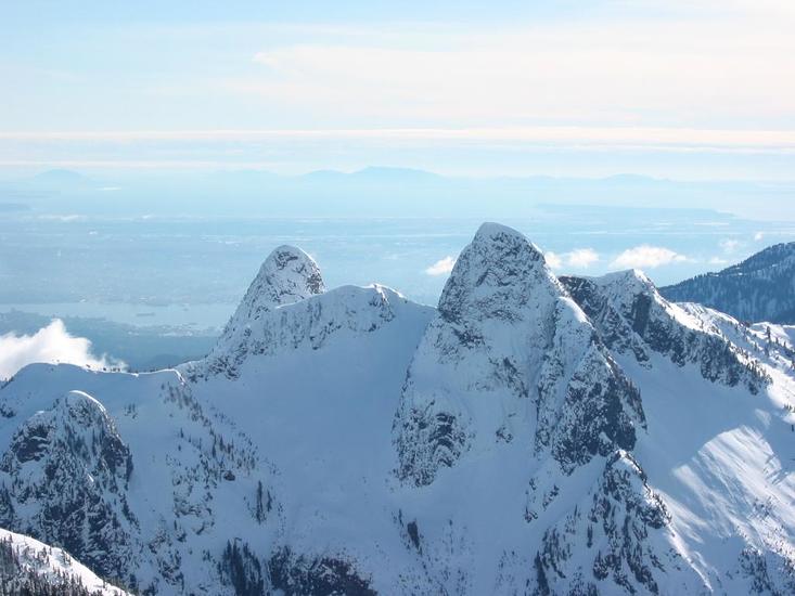
- Elevation: 1599 m
- Difficulty: Scramble
- Best months to climb: June, July, August, September, October
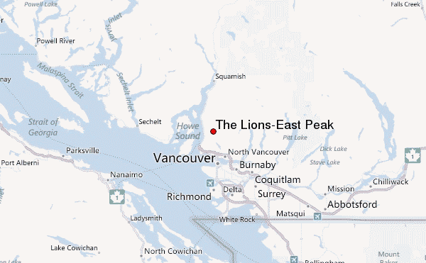
- Convenient center: North Vancouver
The Lions-East Peak Climbing NotesBe the first to submit your climbing note! Please submit any useful information about climbing The Lions-East Peak that may be useful to other climbers. Consider things such as access and accommodation at the base of The Lions-East Peak, as well as the logistics of climbing to the summit. |
| Select a
mountain summit from the menu |
||
|
Select a Mountain Summit
|
||
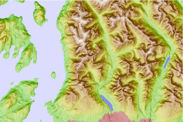
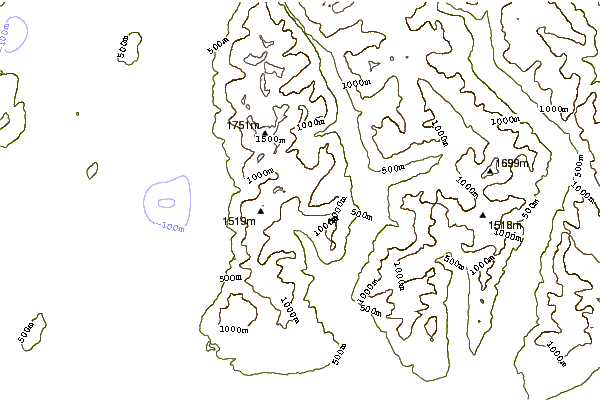
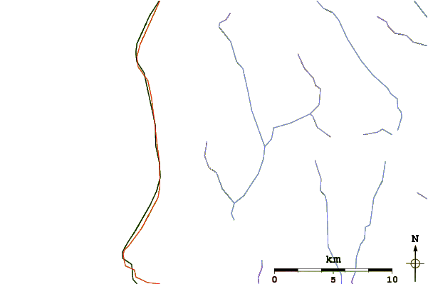
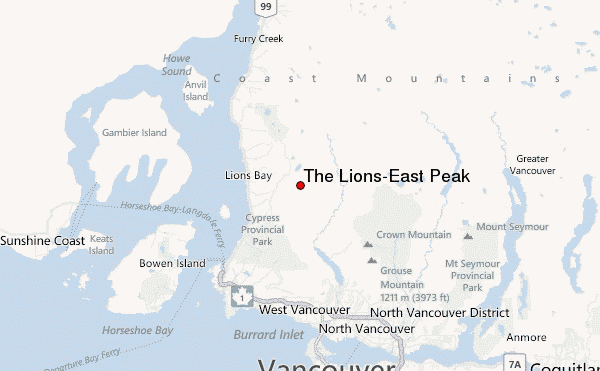
Use this relief map to navigate to mountain peaks in the area of The Lions-East Peak.
10 other mountain peaks closest to The Lions-East Peak:
| 1. | The Lions (peaks) (1654 m) | 1.6 km |
| 2. | Unnecessary Mountain (1548 m) | 2.3 km |
| 3. | Crown Mountain (North Vancouver, British Columbia) (1504 m) | 7.0 km |
| 4. | Goat Mountain (Vancouver, British Columbia) (1401 m) | 8.2 km |
| 5. | Grouse Mountain (1231 m) | 9.9 km |
| 6. | Mount Fromme (1185 m) | 11.0 km |
| 7. | Mount Elsay (1419 m) | 17.3 km |
| 8. | Mount Seymour (1449 m) | 17.3 km |
| 9. | Mount Bishop (British Columbia) (1509 m) | 17.5 km |
| 10. | Watts Point volcanic centre (240 m) | 22.6 km |
 Like us
 Follow us
