– Lat/Long: 49.39° N 122.94° W
 Mount Seymour – Climbing, Hiking & Mountaineering information
Mount Seymour – Climbing, Hiking & Mountaineering information
Mount Seymour mountain guide
- Elevation: 1449 m
- Difficulty:
- Best months to climb:
- Convenient center:
Mount Seymour Climbing NotesBe the first to submit your climbing note! Please submit any useful information about climbing Mount Seymour that may be useful to other climbers. Consider things such as access and accommodation at the base of Mount Seymour, as well as the logistics of climbing to the summit. |

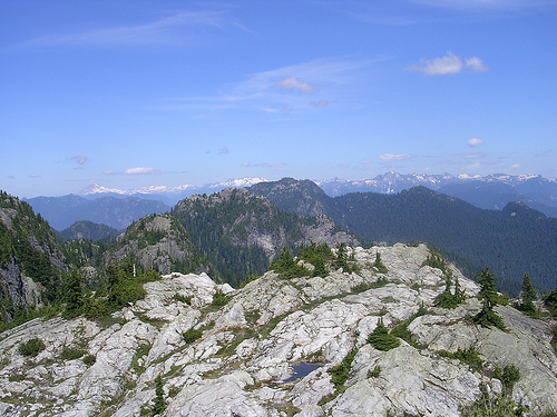
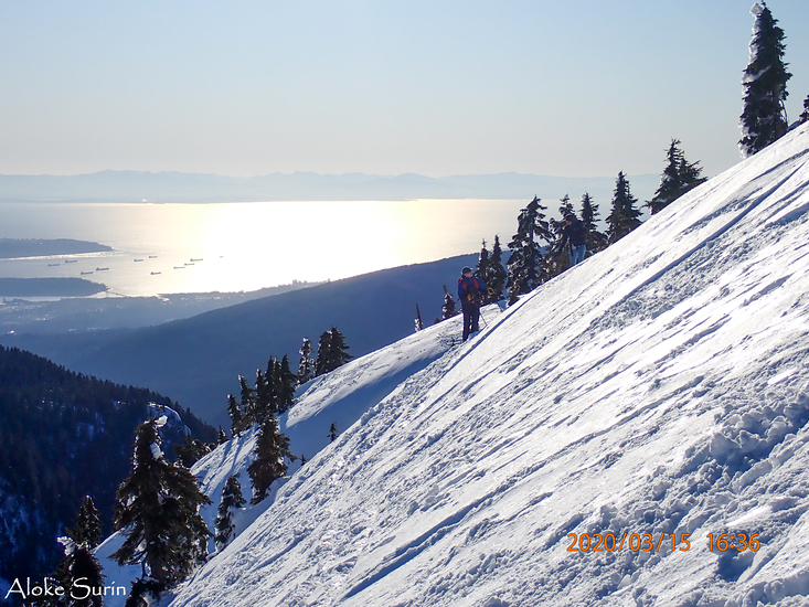
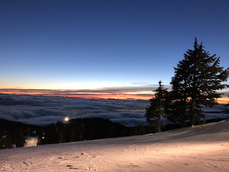
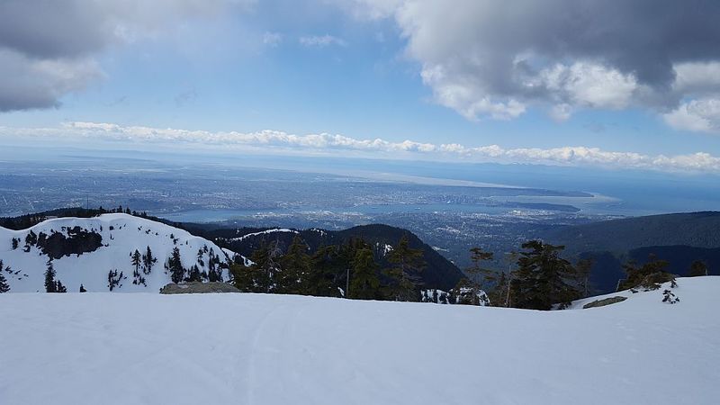
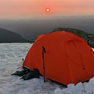
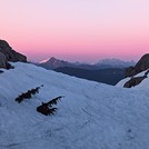
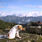
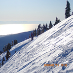
Latest Gallery Images for Mount Seymour

| Select a
mountain summit from the menu |
||
|
Select a Mountain Summit
|
||
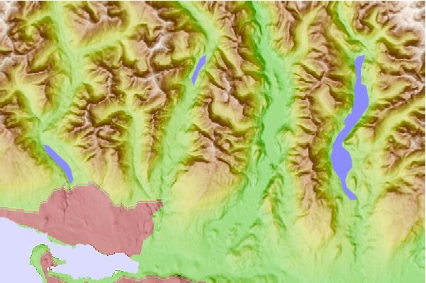
Use this relief map to navigate to mountain peaks in the area of Mount Seymour.
10 other mountain peaks closest to Mount Seymour:
| 1. | Mount Elsay (1419 m) | 1.6 km |
| 2. | Mount Bishop (British Columbia) (1509 m) | 4.3 km |
| 3. | Mount Fromme (1185 m) | 8.3 km |
| 4. | Eagle Mountain (British Columbia) (1050 m) | 9.7 km |
| 5. | Goat Mountain (Vancouver, British Columbia) (1401 m) | 9.9 km |
| 6. | Grouse Mountain (1231 m) | 10.1 km |
| 7. | Crown Mountain (North Vancouver, British Columbia) (1504 m) | 10.9 km |
| 8. | Burnaby Mountain (370 m) | 12.9 km |
| 9. | Coquitlam Mountain (1583 m) | 17.2 km |
| 10. | The Lions-East Peak (1599 m) | 17.3 km |
 Like us
 Follow us
