Tambora Mountain Photos
View
photos from Malay Archipelago and Melanesia (33) |
photos from Indonesia (133) |
all photos
 Upload new photo
 Sort by:

Latest uploads
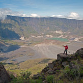
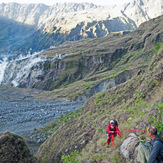
down to the crater base of Tambora
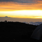
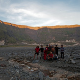
sunrise at the crater rim, with Rinjani in the west
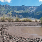
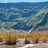
end of a creek on the crater base
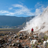
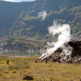
steam fumarole at the ground of Tambora, at 1.450m
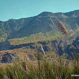
tele zoom from the rim (2.650m) to the crater base (1.450m)
ropes are safer to climb steep parts
minutes before sunset in the crater
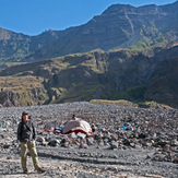
campsite on the crater ground, at 1.450m, below the western wall
the western wall
the green northern wall of the crater, 1.200m high
approaching Doro Api Toi, the mini crater in the giant crater
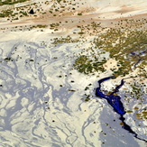
lake on the crater base of Tambora
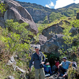
Break at Pos Wadunae, in a granite formation at 2.250m
Into the caldera of Tambora
 Like us
 Follow us
