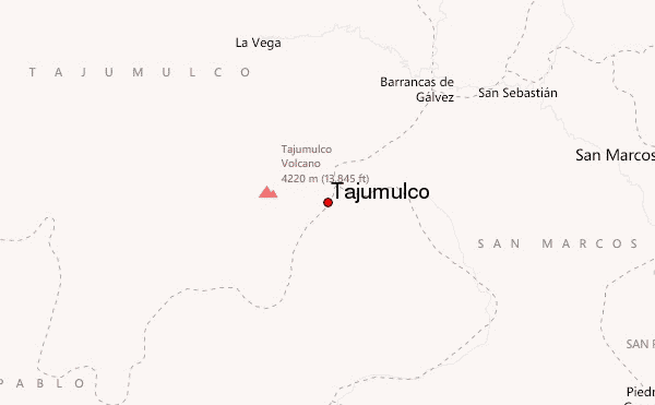
– Lat/Long: 15.03° N 91.90° W
 Tajumulco – Climbing, Hiking & Mountaineering information
Tajumulco – Climbing, Hiking & Mountaineering information
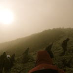
Tajumulco mountain guide
- Elevation: 4220 m
- Difficulty: Walk up
- Best months to climb: January, February, September, October, November, December
- Convenient center: San Marcos
Tajumulco Climbing NotesBe the first to submit your climbing note! Please submit any useful information about climbing Tajumulco that may be useful to other climbers. Consider things such as access and accommodation at the base of Tajumulco, as well as the logistics of climbing to the summit. |
| Select a
mountain summit from the menu |
||
|
Select a Mountain Summit
|
||
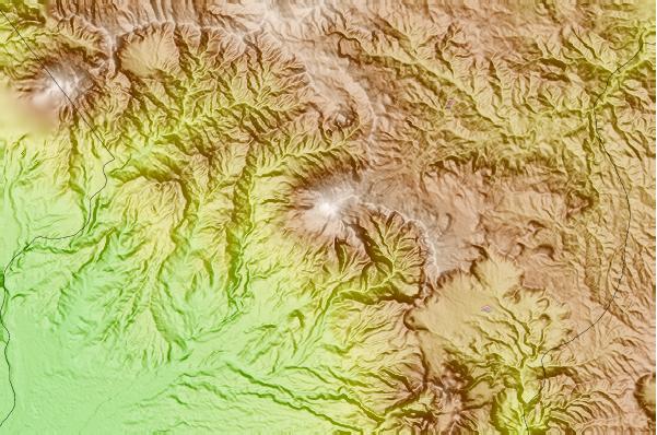
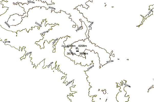
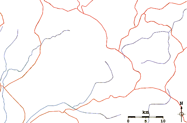
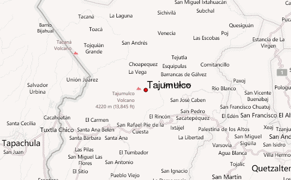
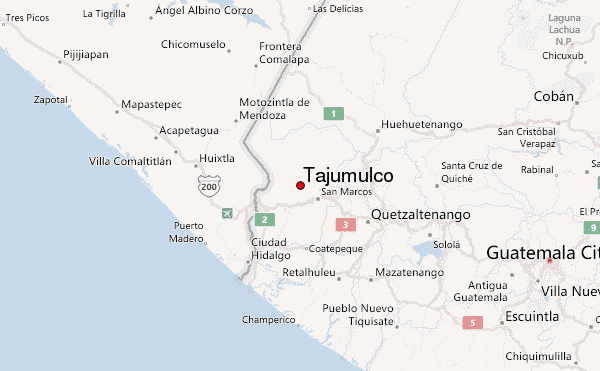
Use this relief map to navigate to mountain peaks in the area of Tajumulco.
10 other mountain peaks closest to Tajumulco:
| 1. | Tacana (4092 m) | 25.0 km |
| 2. | Volcán Siete Orejas (3370 m) | 39.2 km |
| 3. | Santa María (volcano) (3772 m) | 48.8 km |
| 4. | Almolonga (3197 m) | 51.3 km |
| 5. | Cerro de Coxóm (3045 m) | 56.7 km |
| 6. | Volcán Santo Tomás (3505 m) | 58.1 km |
| 7. | Volcán Santo Tomás (3542 m) | 58.1 km |
| 8. | Zunil or Volcan De Tzanjuyub (3542 m) | 59.9 km |
| 9. | Santa Clara (2402 m) | 75.4 km |
| 10. | Volcán San Pedro (3018 m) | 80.1 km |
 Like us
 Follow us
