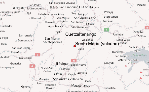
Santa María (volcano) mountain guide
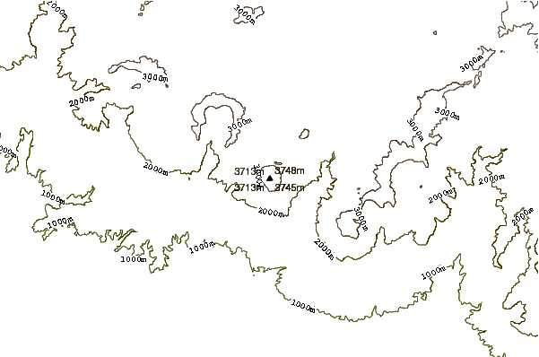
- Elevation: 3772 m
- Difficulty: Walk up
- Best months to climb: January, February, October, November, December
- Convenient center: Llanos del Pinal, Quetzaltenango
An incredible and majestic cone, rising over the Qetzaltenango horizon. Perfectly cone shaped, and very steep, it is very visited by tourists and mountaineering clubs. From the summit, the view is unforgettable. To the south, the great expanse of the Pacific Ocean. To the east, lake Atitlan, and the volcanoes Agua, Fuego, Acatenango, Toliman, Atitlan, San Pedro, Zunil and Santo Tomas. To the west, volcanoes Tacana, Tajumulco (highest point in Central America and the Caribbean, and the border with Mexico. To the south, it feels like you could almost touch the summit of Santiaguito volcano, more than one thousand meters below, and in constant eruptions and rumbles. I definitely recommend this trip, I guarantee you will never forget it.
Santa María (volcano) Climbing Notes
Jorge Calderon-abullarade from GUATEMALA writes:
The ascent to the summit of Santa Maria volcano takes about 4 hours. The beginning the climb is a walking path between vegetable crops. Within about an hour of ascent there is a fork with two lanes; take the left. On the right leads to the Santiaguito volcano. There, through the coniferous forest, the path is well marked. It is very hard to miss. Within about 3 hours of the onset, the forest is left behind and the slope rises steeper. Here the path and becomes a zigzag and is confusing, it is easy to miss. On top Mayan rituals are practiced. There is room for camping.
2016-10-07 |
Click here to submit your own climbing note for Santa María (volcano)
|
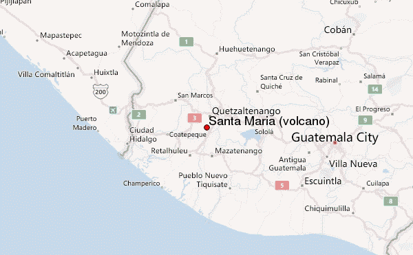
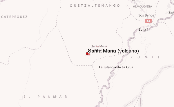
Select Santa María (volcano) Location Map Detail:
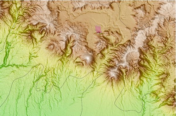
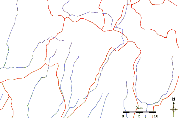
Use this relief map to navigate to mountain peaks in the area of Santa María (volcano).
10 other mountain peaks closest to Santa María (volcano):
 Santa María (volcano) – Climbing, Hiking & Mountaineering information
 Like us
 Follow us
