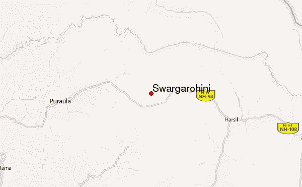
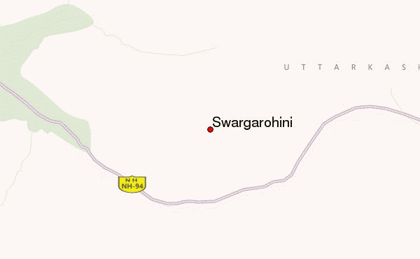
– Lat/Long: 31.10° N 78.50° E
 Swargarohini – Climbing, Hiking & Mountaineering information

Swargarohini guide
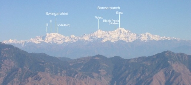
- Elevation: 6252 m
- Difficulty: Major Mountain Expedition
- Best months to climb: May, June, September
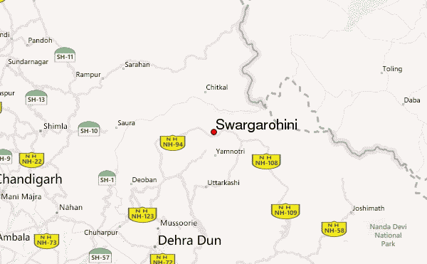
- Convenient center: Mussorie
Swargarohini Climbing Notes
Click here to read 1 more climbing note for Swargarohini or submit your own |
| Select a
mountain summit from the menu |
||
|
Select a Mountain Summit
|
||
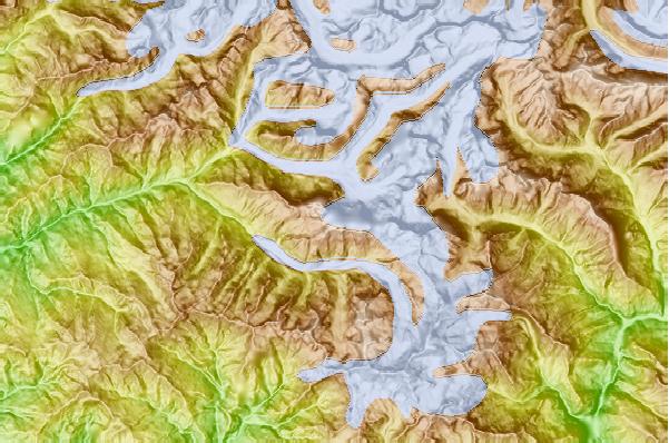
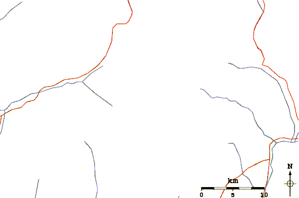
Use this relief map to navigate to mountain peaks in the area of Swargarohini.
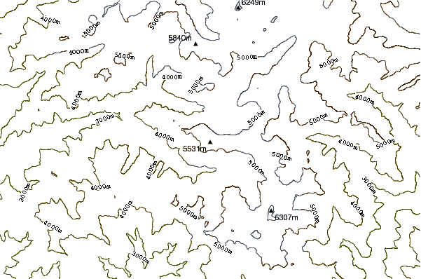
10 other mountain peaks closest to Swargarohini:
| 1. | Kalanag (6387 m) | 11.1 km |
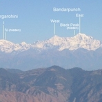
| 2. | Bandarpunch (6316 m) | 11.9 km |
| 3. | Banderpunch (6316 m) | 12.1 km |
| 4. | Rangrik Rang (6553 m) | 39.0 km |
| 5. | Thalay Sagar (6904 m) | 54.6 km |
| 6. | Meru Peak (6660 m) | 57.0 km |
| 7. | Shivling (Garhwal Himalaya) (6543 m) | 59.4 km |
| 8. | Kedarnarth Dome (6831 m) | 63.7 km |
| 9. | Kedarnath (6940 m) | 64.6 km |
| 10. | Nag Tibba (3022 m) | 66.6 km |