Kedarnarth Dome mountain guide
- Elevation: 6831 m
- Difficulty: Major Mountain Expedition
- Best months to climb: June, July, August, September, October
- Convenient center: Hardwar
Kedarnarth Dome Climbing Notes
Dreamcatcher from INDIA writes:
Our team member did a successful climb of Kedar dome in June-2012, escorting an Italian expedition team. It was a piece of cake and the team found no major challenge en-route summit. The support team of mountaineers were the best in lot.
Here is a brief about this Peak:
Kedar Dome peak is a dome shaped mountain in Garhwal range of Himalayas in Uttarakhand India. The peak is 6831 meters above sea level and serves as a ski down peak if the weather is favorable. Kedar dome is relatively easy peak to climb, but would require past climbing experience and ability to survive in high altitude Himalayan weather. It is a magnificent marvel of nature and holds sentimental values to Hindus - as the peaks name itself is that of Lord Shiva.
2013-02-07 |
Click here to submit your own climbing note for Kedarnarth Dome
|
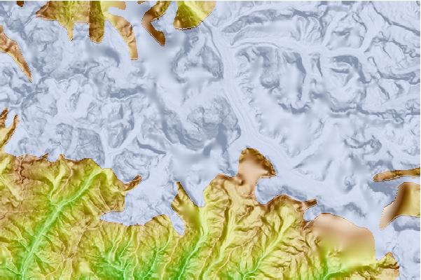
Select Kedarnarth Dome Location Map Detail:
Use this relief map to navigate to mountain peaks in the area of Kedarnarth Dome.
10 other mountain peaks closest to Kedarnarth Dome:
 Kedarnarth Dome – Climbing, Hiking & Mountaineering information
 Like us
 Follow us
