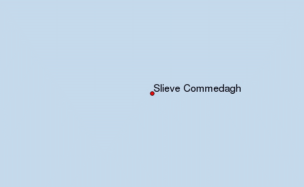
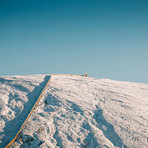
Slieve Commedagh mountain guide
- Elevation: 767 m
- Difficulty: Walk up
- Best months to climb: January, February, April, May, June, July, August, September, October, November, December
- Convenient center: Newcastle
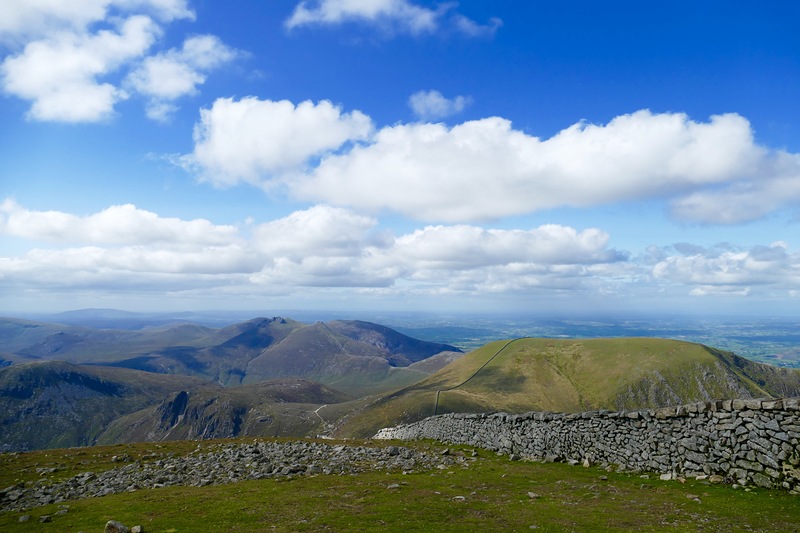
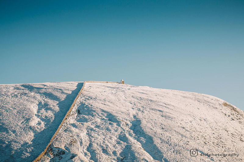
Second highest peak in Mourne Mountains after Slieve Donard, a easy walk up the Glen river trail then follow the Mourne wall up this lovely peak where a small tower hut gives shelter on a windy day, see Slieve Donard info for general info
Slieve Commedagh Climbing Notes
Noel Nevin from IRELAND writes:
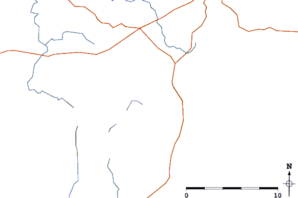
For a nice hike, park in Newcastle in Donard park car park. Walk up through the woods to the left of the playing fields. Stay left in the woods until you meet the bridge, then cross over right and follow the path next to the river all the way up to the saddle between Slieve Donard and Slieve Comedagh. At the saddle (Mourbe Wall) turn left for Donard and right for Comedagh. Gorgeous tranquil place with great view over Newcastle and Irish sea.
2020-12-22 |
Click here to submit your own climbing note for Slieve Commedagh
|
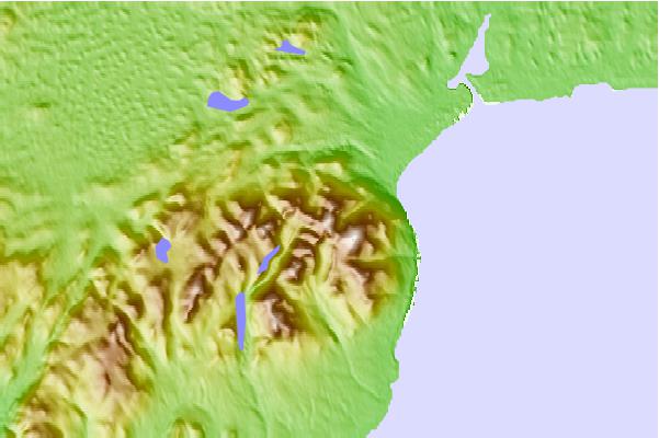
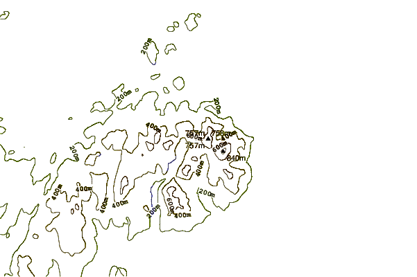
Select Slieve Commedagh Location Map Detail:
Use this relief map to navigate to mountain peaks in the area of Slieve Commedagh.
10 other mountain peaks closest to Slieve Commedagh:
 Slieve Commedagh – Climbing, Hiking & Mountaineering information
 Like us
 Follow us
