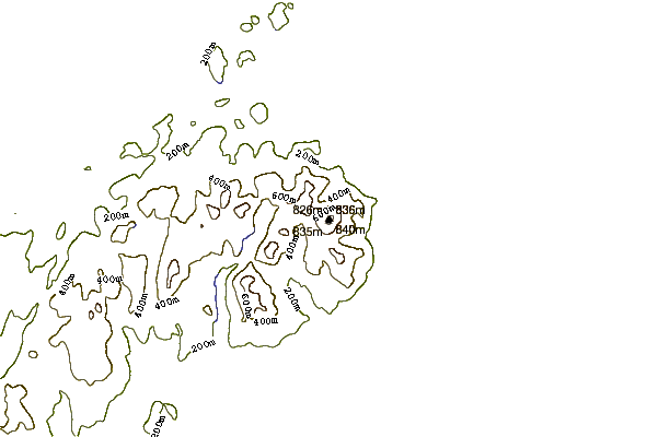
Slieve Donard mountain guide
- Elevation: 850 m
- Difficulty: Walk up
- Best months to climb: January, February, April, May, June, July, August, September, October, November, December
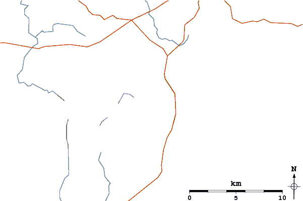
- Convenient center: Newcastle
Slieve Donard Climbing Notes
Jesse McFadden from UNITED KINGDOM writes:
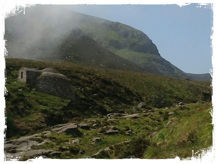
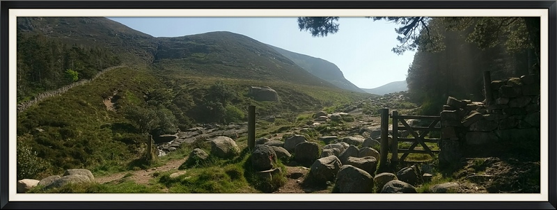
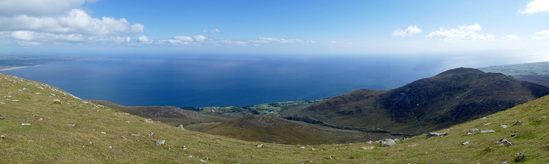
Park at Donard car park new castle. Follow road on far side of parking lot nearest the forest through the yellow gates. Trail begins in begins in the trees. Cross the first bridge and continue up the trail until you reach the second bridge. Cross the second bridge and continues up the trail. This will lead you to the forest track, the trail to Donard starts just before the third bridge. Follow trail to the saddle and stay on the left side of the wall to the summit of Donard. There are well maintained trails from top to bottom. Due to the large number of people visiting Slieve Donard, it is recommended to stay on the paths to prevent erosion in this delicate environment.
2022-12-13 |
Click here to read 1 more climbing note for Slieve Donard or submit your own
|
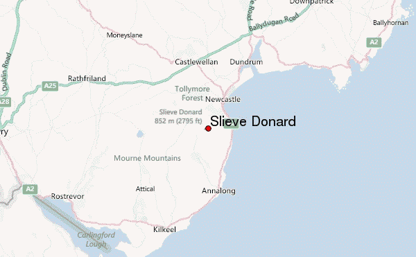
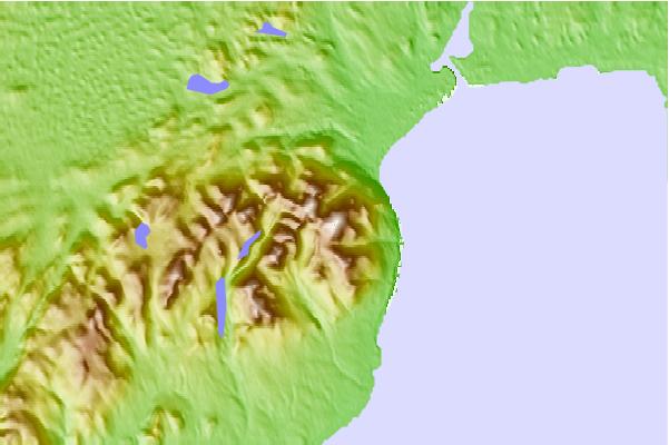
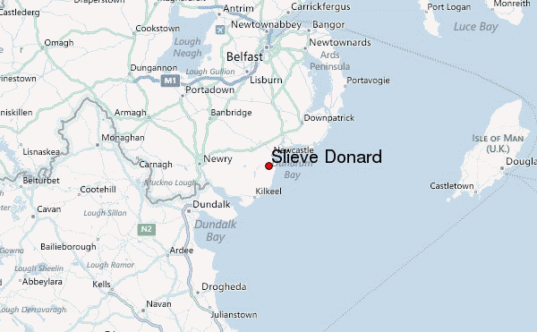
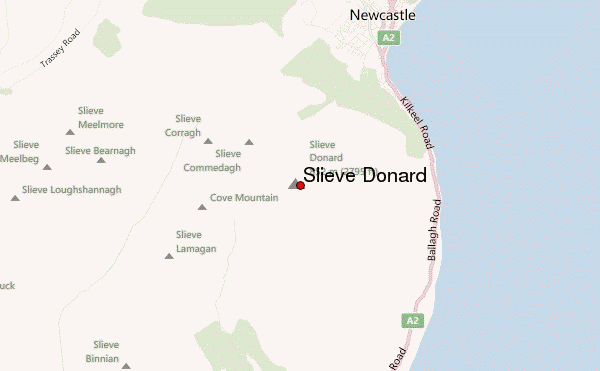
Select Slieve Donard Location Map Detail:
Use this relief map to navigate to mountain peaks in the area of Slieve Donard.
10 other mountain peaks closest to Slieve Donard:
 Slieve Donard – Climbing, Hiking & Mountaineering information


 Like us
 Follow us
