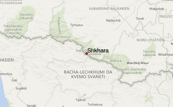
– Lat/Long: 43.00° N 43.11° E
 Shkhara – Climbing, Hiking & Mountaineering information
Shkhara – Climbing, Hiking & Mountaineering information
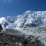
Shkhara mountain guide
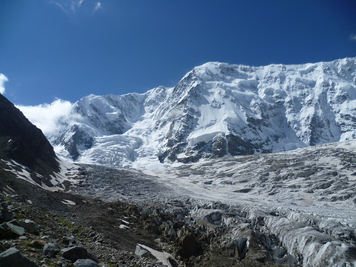
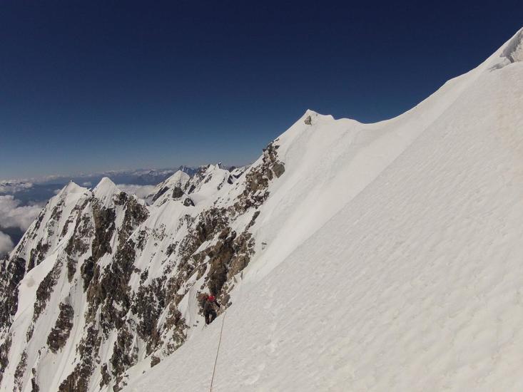
- Elevation: 5200 m
- Difficulty: Technical Climb
- Best months to climb: June, July, August, September
- Convenient center: Mineral'nye Vody, Russia
Shkhara Climbing Notes
Click here to read 1 more climbing note for Shkhara or submit your own |
| Select a
mountain summit from the menu |
||
|
Select a Mountain Summit
|
||
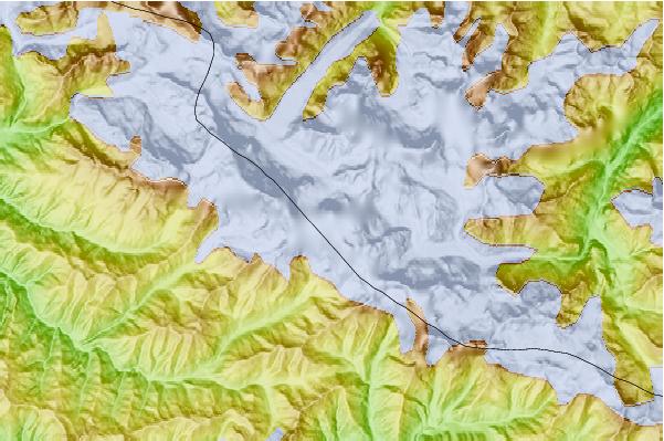
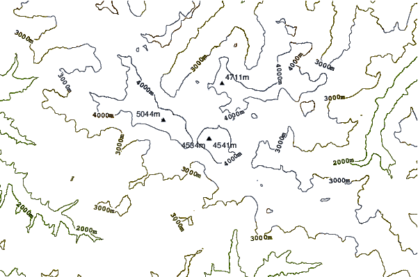
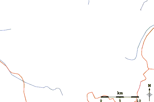
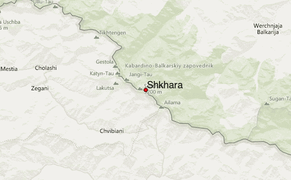
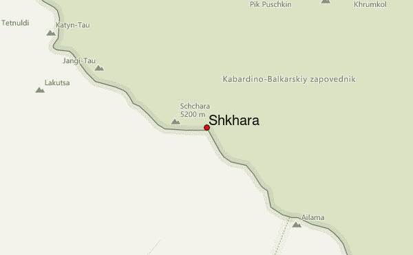
Use this relief map to navigate to mountain peaks in the area of Shkhara.
10 other mountain peaks closest to Shkhara:
| 1. | Dzhangi-Tau (5051 m) | 4.9 km |
| 2. | Gistola (4860 m) | 5.6 km |
| 3. | Dykh-Tau (5204 m) | 5.8 km |
| 4. | Koshtan-Tau (5144 m) | 10.1 km |
| 5. | Tetnuldi (4853 m) | 10.3 km |
| 6. | Shkhelda (4368 m) | 11.8 km |
| 7. | Ailama (4547 m) | 17.9 km |
| 8. | Chanchakhi (4462 m) | 22.2 km |
| 9. | Babis Mta (4454 m) | 26.8 km |
| 10. | Latsga (4019 m) | 31.5 km |
 Like us
 Follow us
