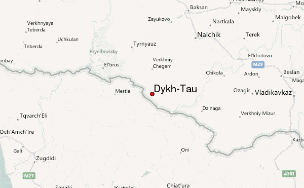
– Lat/Long: 43.05° N 43.13° E
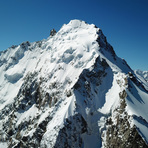
 Dykh-Tau – Climbing, Hiking & Mountaineering information
Dykh-Tau – Climbing, Hiking & Mountaineering information
Dykh-Tau mountain guide
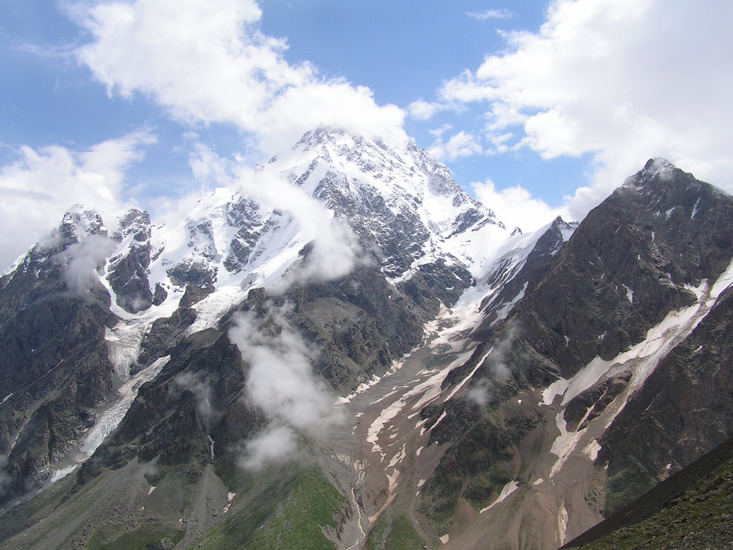
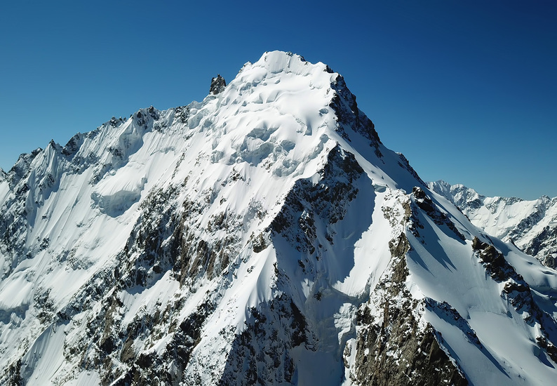
- Elevation: 5204 m
- Difficulty: Technical Climb
- Best months to climb: July, August, September
- Convenient center: Mineral'nye Vody, Russia
Dykh-Tau Climbing NotesBe the first to submit your climbing note! Please submit any useful information about climbing Dykh-Tau that may be useful to other climbers. Consider things such as access and accommodation at the base of Dykh-Tau, as well as the logistics of climbing to the summit. |
| Select a
mountain summit from the menu |
||
|
Select a Mountain Summit
|
||
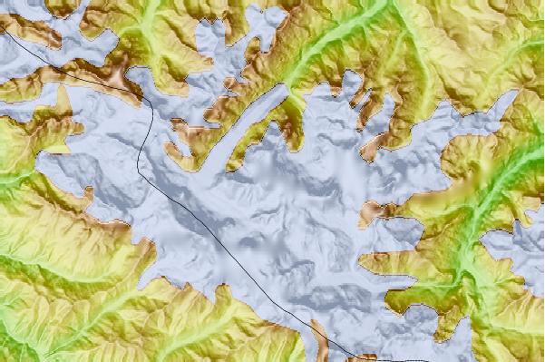
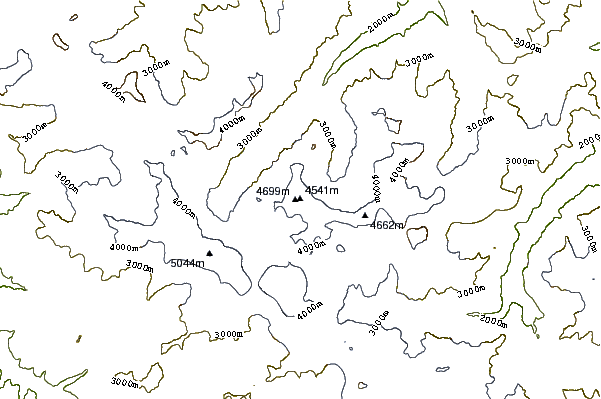
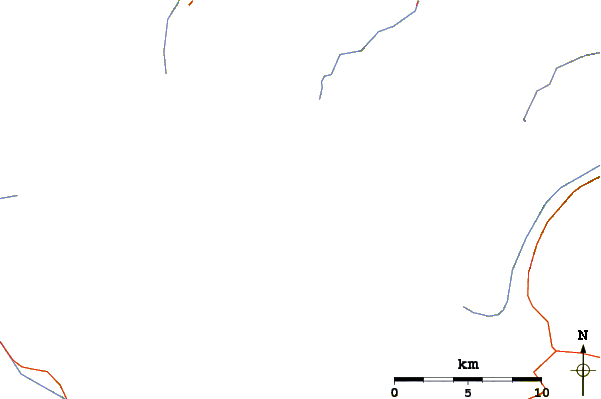
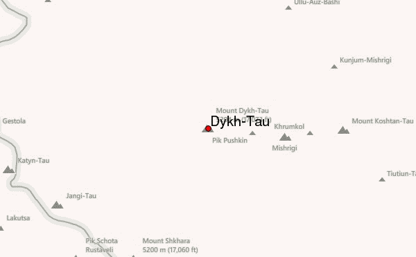
Use this relief map to navigate to mountain peaks in the area of Dykh-Tau.
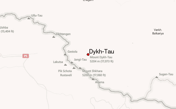
10 other mountain peaks closest to Dykh-Tau:
| 1. | Shkhara (5200 m) | 5.8 km |
| 2. | Koshtan-Tau (5144 m) | 6.8 km |
| 3. | Dzhangi-Tau (5051 m) | 7.1 km |
| 4. | Shkhelda (4368 m) | 9.7 km |
| 5. | Gistola (4860 m) | 11.2 km |
| 6. | Tetnuldi (4853 m) | 11.6 km |
| 7. | Ailama (4547 m) | 22.0 km |
| 8. | Chanchakhi (4462 m) | 24.7 km |
| 9. | Babis Mta (4454 m) | 28.6 km |
| 10. | Latsga (4019 m) | 29.7 km |
 Like us
 Follow us
