– Lat/Long: 42.63° N 0.66° E
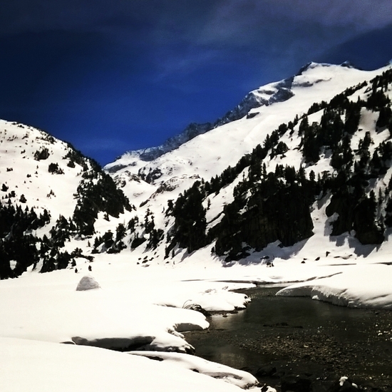
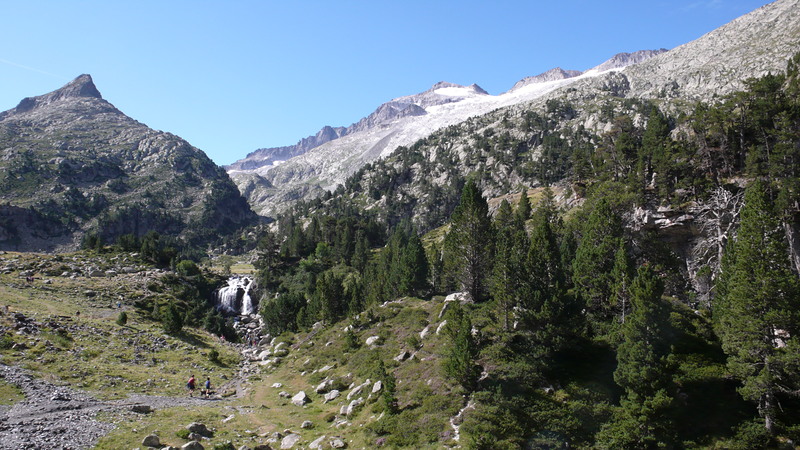
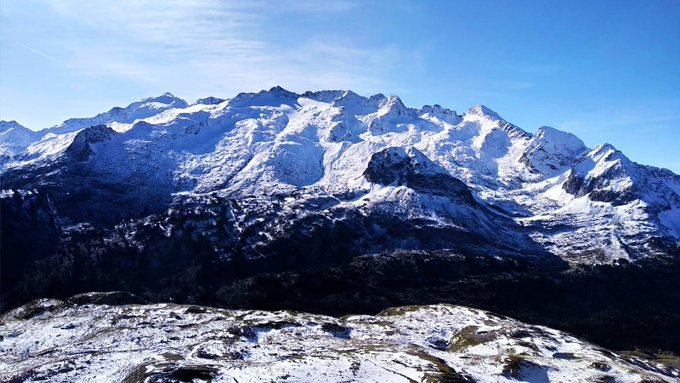
 Pico d'Aneto – Climbing, Hiking & Mountaineering information
Pico d'Aneto – Climbing, Hiking & Mountaineering information
Pico d'Aneto mountain guide
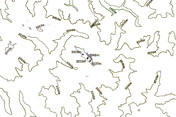
- Elevation: 3404 m
- Difficulty:
- Best months to climb: May, June, July, August, September
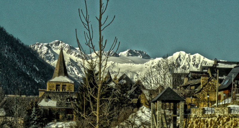
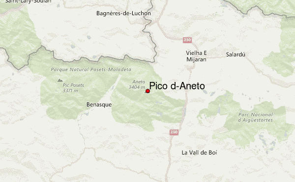
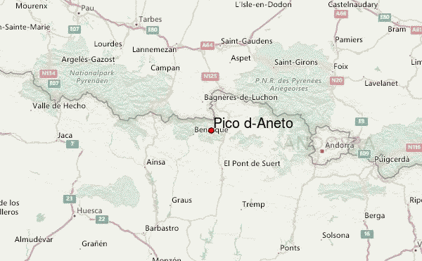
- Convenient center: Benasque, Spain
Pico d'Aneto Climbing Notes
Click here to submit your own climbing note for Pico d'Aneto |
| Select a
mountain summit from the menu |
||
|
Select a Mountain Summit
|
||
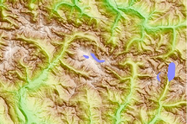
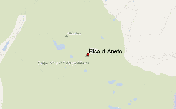
Use this relief map to navigate to mountain peaks in the area of Pico d'Aneto.
10 other mountain peaks closest to Pico d'Aneto:
| 1. | Aneto (3404 m) | 0.2 km |
| 2. | Pic de Bugatet (2877 m) | 0.2 km |
| 3. | Pico de la Maladetta (3308 m) | 0.9 km |
| 4. | Maladeta (3312 m) | 2.3 km |
| 5. | Punta Senyalada (2952 m) | 13.2 km |
| 6. | Punta Alta de Comalesbienes (3014 m) | 13.2 km |
| 7. | Pic De Perdiguere (3222 m) | 13.2 km |
| 8. | Besiberri Nord (3009 m) | 14.2 km |
| 9. | Besiberri Massif (3029 m) | 14.2 km |
| 10. | Besiberri del Mig (2995 m) | 14.2 km |

 Like us
 Follow us
