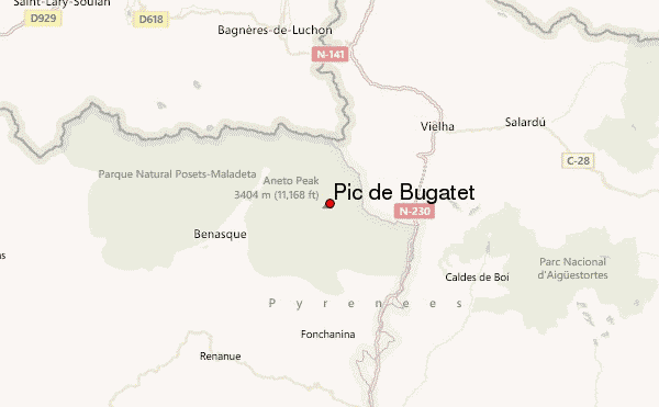
– Lat/Long: 42.63° N 0.66° E
 Pic de Bugatet – Climbing, Hiking & Mountaineering information
Pic de Bugatet – Climbing, Hiking & Mountaineering information
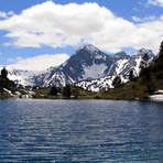
Pic de Bugatet mountain guide
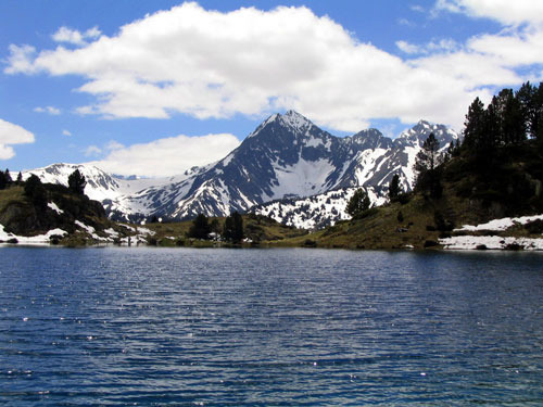
- Elevation: 2877 m
- Difficulty:
- Best months to climb:
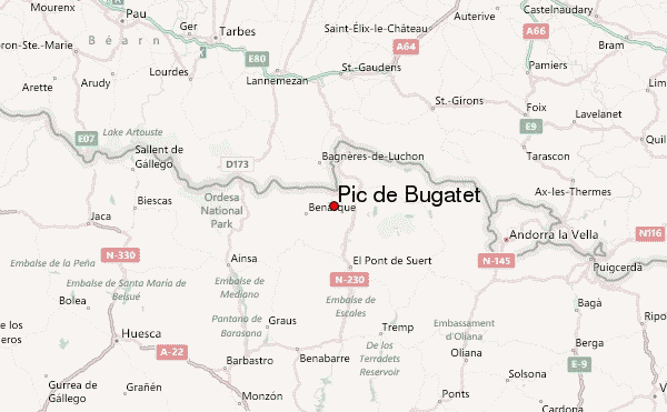
- Convenient center:
Pic de Bugatet Climbing NotesBe the first to submit your climbing note! Please submit any useful information about climbing Pic de Bugatet that may be useful to other climbers. Consider things such as access and accommodation at the base of Pic de Bugatet, as well as the logistics of climbing to the summit. |
| Select a
mountain summit from the menu |
||
|
Select a Mountain Summit
|
||
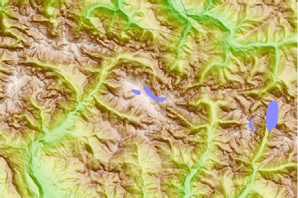
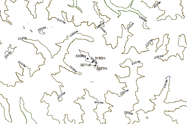
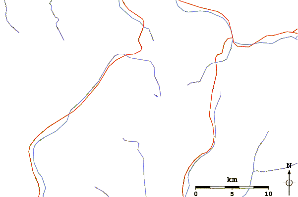
Use this relief map to navigate to mountain peaks in the area of Pic de Bugatet.
10 other mountain peaks closest to Pic de Bugatet:
| 1. | Aneto (3404 m) | 0.0 km |
| 2. | Pico d'Aneto (3404 m) | 0.2 km |
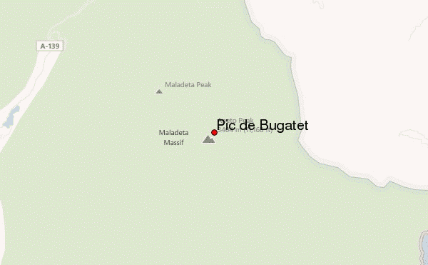
| 3. | Pico de la Maladetta (3308 m) | 0.7 km |
| 4. | Maladeta (3312 m) | 2.2 km |
| 5. | Punta Senyalada (2952 m) | 13.1 km |
| 6. | Punta Alta de Comalesbienes (3014 m) | 13.1 km |
| 7. | Pic De Perdiguere (3222 m) | 13.2 km |
| 8. | Besiberri Nord (3009 m) | 14.1 km |
| 9. | Besiberri Massif (3029 m) | 14.2 km |
| 10. | Besiberri del Mig (2995 m) | 14.2 km |
 Like us
 Follow us
