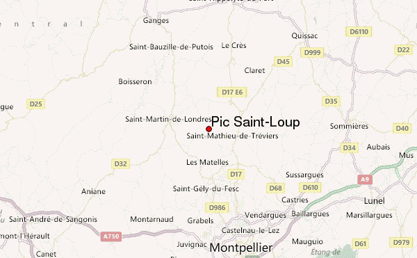
– Lat/Long: 43.78° N 3.81° E
 Pic Saint-Loup – Climbing, Hiking & Mountaineering information
Pic Saint-Loup – Climbing, Hiking & Mountaineering information
Pic Saint-Loup mountain guide
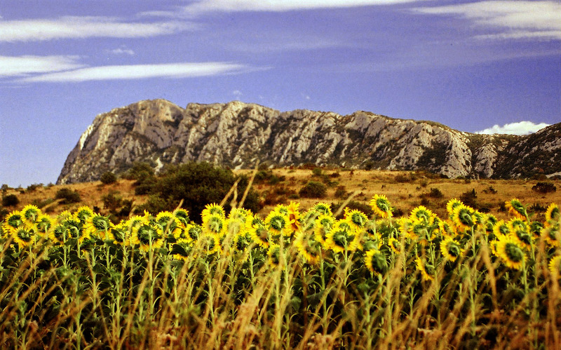
- Elevation: 658 m
- Difficulty:
- Best months to climb:
- Convenient center:
Pic Saint-Loup Climbing NotesBe the first to submit your climbing note! Please submit any useful information about climbing Pic Saint-Loup that may be useful to other climbers. Consider things such as access and accommodation at the base of Pic Saint-Loup, as well as the logistics of climbing to the summit. |
| Select a
mountain summit from the menu |
||
|
Select a Mountain Summit
|
||
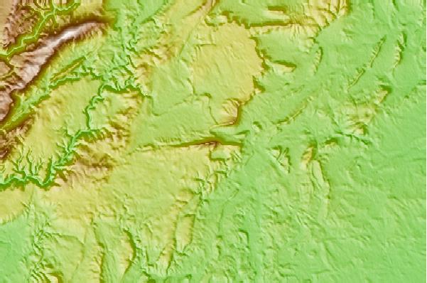
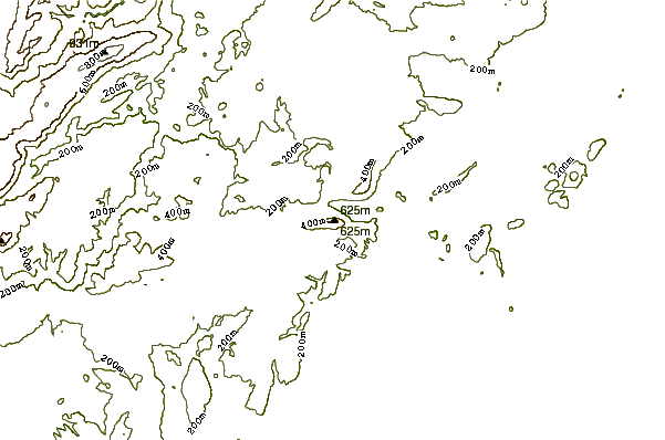
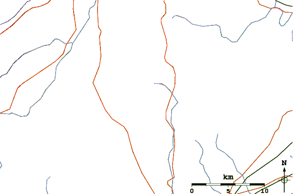
Use this relief map to navigate to mountain peaks in the area of Pic Saint-Loup.
10 other mountain peaks closest to Pic Saint-Loup:
| 1. | Mont Aigoual (1567 m) | 42.7 km |
| 2. | Mont Lozère (1702 m) | 72.2 km |
| 3. | Pic de Nore (1211 m) | 115.6 km |
| 4. | Mont Gerbier de Jonc (1551 m) | 122.9 km |
| 5. | Mont Ventoux (1912 m) | 125.6 km |
| 6. | Mont Mezenc (1754 m) | 128.2 km |
| 7. | Mont Mouchet (1497 m) | 137.7 km |
| 8. | Mont Puget (563 m) | 146.8 km |
| 9. | Garlaban (715 m) | 149.2 km |
| 10. | Montagne Sainte Victoire (1011 m) | 150.6 km |

 Like us
 Follow us
