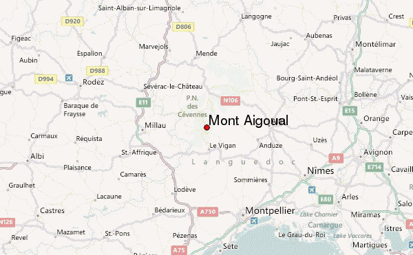
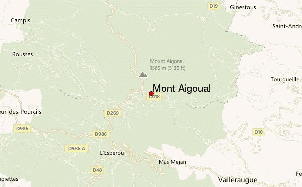
– Lat/Long: 44.12° N 3.58° E
 Mont Aigoual – Climbing, Hiking & Mountaineering information
Mont Aigoual – Climbing, Hiking & Mountaineering information
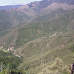
Mont Aigoual mountain guide
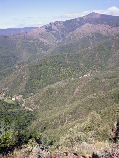
- Elevation: 1567 m
- Difficulty:
- Best months to climb:
- Convenient center:
Mont Aigoual Climbing NotesBe the first to submit your climbing note! Please submit any useful information about climbing Mont Aigoual that may be useful to other climbers. Consider things such as access and accommodation at the base of Mont Aigoual, as well as the logistics of climbing to the summit. |
| Select a
mountain summit from the menu |
||
|
Select a Mountain Summit
|
||
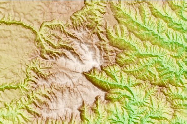
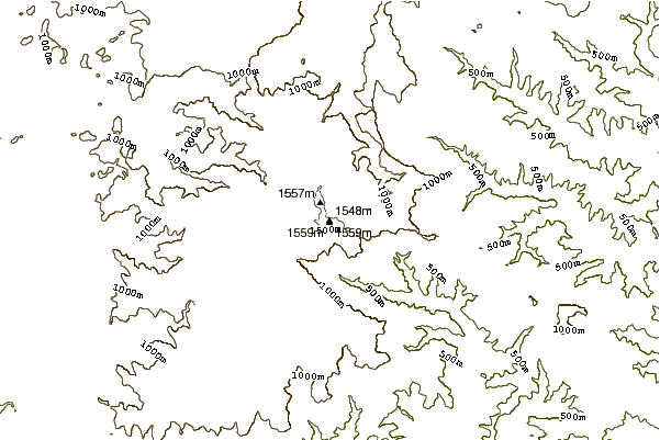
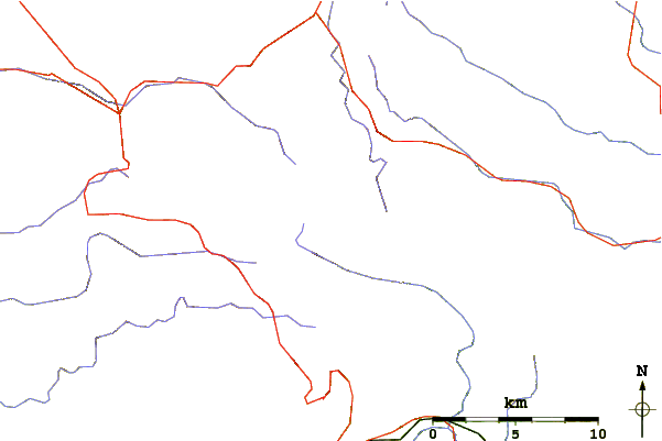
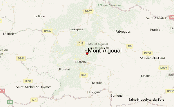
Use this relief map to navigate to mountain peaks in the area of Mont Aigoual.
10 other mountain peaks closest to Mont Aigoual:
| 1. | Mont Lozère (1702 m) | 36.2 km |
| 2. | Pic Saint-Loup (658 m) | 42.7 km |
| 3. | Mont Gerbier de Jonc (1551 m) | 95.2 km |
| 4. | Mont Mouchet (1497 m) | 96.3 km |
| 5. | Mont Mezenc (1754 m) | 99.0 km |
| 6. | Pic de Nore (1211 m) | 118.5 km |
| 7. | Plomb du Cantal (1855 m) | 122.5 km |
| 8. | Puy Mary (1783 m) | 130.8 km |
| 9. | Chavaroche (1739 m) | 131.0 km |
| 10. | Mont Ventoux (1912 m) | 136.5 km |
 Like us
 Follow us
