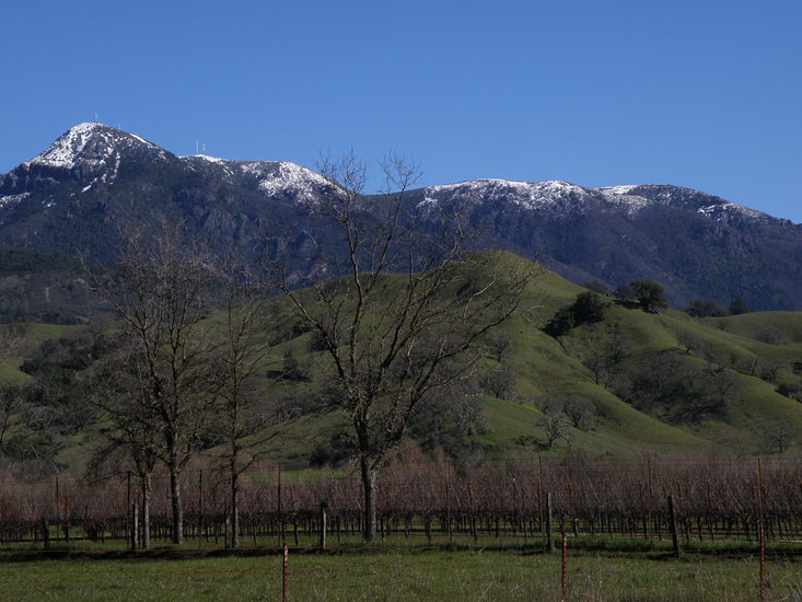
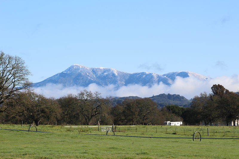
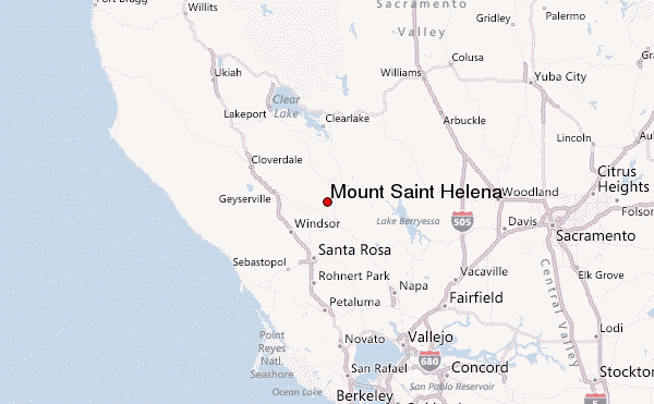
Mount Saint Helena mountain guide
- Elevation: 1323 m
- Difficulty:
- Best months to climb:
- Convenient center:
Mount Saint Helena Climbing Notes
Michael Levinsohn from UNITED STATES writes:
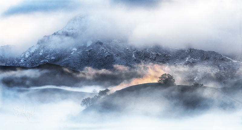
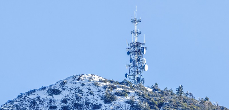
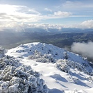
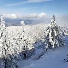
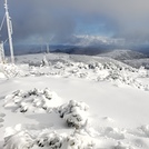
It's 5.1 miles from the trail head to the north peak, with the first .9 mile on a traditional trail. The rest is a logging road, with about a 7% grade, with amazing views. In the early morning you're above the clouds, and at the top you see for miles, especially with binoculars.
The total round trip is about 5 hours, with water breaks and a little celebration time at the top. The tallest peak in the Napa Valley, and a rewarding experience.
2022-01-13 |
Click here to submit your own climbing note for Mount Saint Helena
|
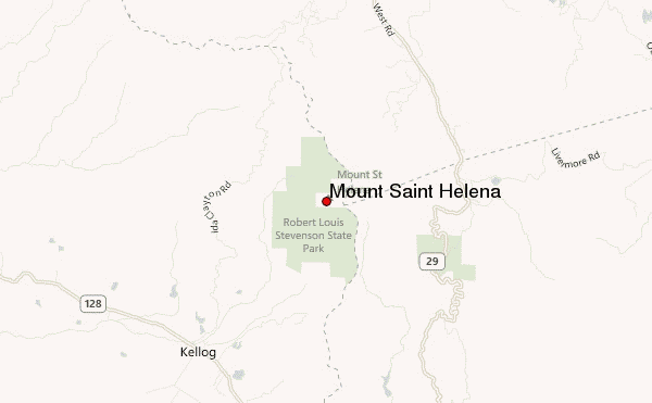
Select Mount Saint Helena Location Map Detail:
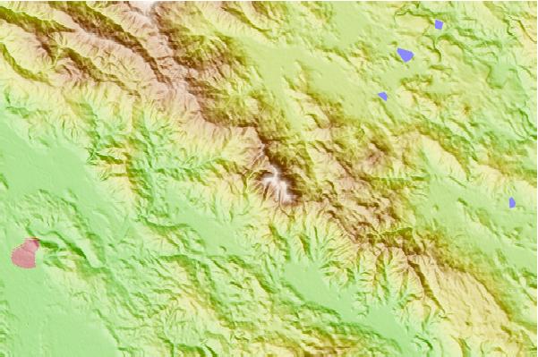
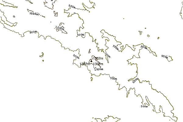
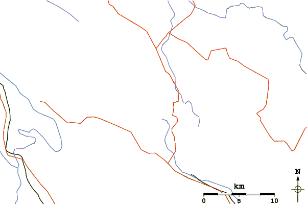
Use this relief map to navigate to mountain peaks in the area of Mount Saint Helena.
10 other mountain peaks closest to Mount Saint Helena:
 Mount Saint Helena – Climbing, Hiking & Mountaineering information


 Like us
 Follow us
