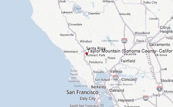
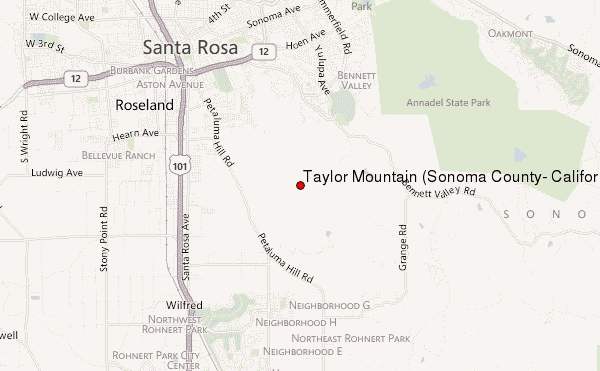
– Lat/Long: 38.40° N 122.68° W
 Taylor Mountain (Sonoma County, California) – Climbing, Hiking & Mountaineering information
Taylor Mountain (Sonoma County, California) – Climbing, Hiking & Mountaineering information
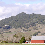
Taylor Mountain (Sonoma County, California) mountain guide
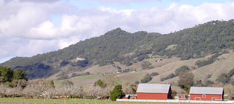
- Elevation: 429 m
- Difficulty:
- Best months to climb:
- Convenient center:
Taylor Mountain (Sonoma County, California) Climbing NotesBe the first to submit your climbing note! Please submit any useful information about climbing Taylor Mountain (Sonoma County, California) that may be useful to other climbers. Consider things such as access and accommodation at the base of Taylor Mountain (Sonoma County, California), as well as the logistics of climbing to the summit. |
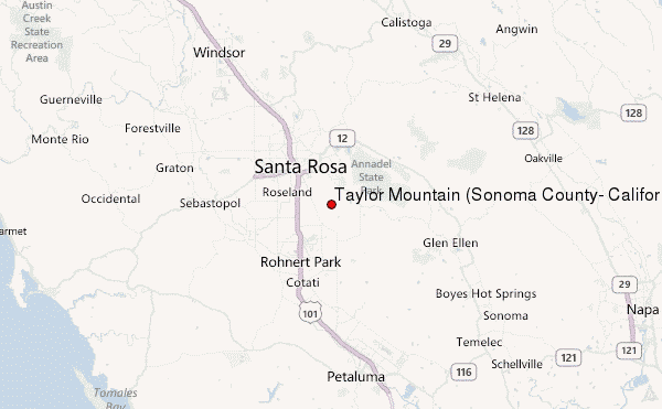
Select Taylor Mountain (Sonoma County, California) Location Map Detail:
| Select a
mountain summit from the menu |
||
|
Select a Mountain Summit
|
||
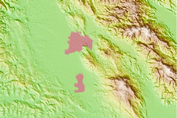
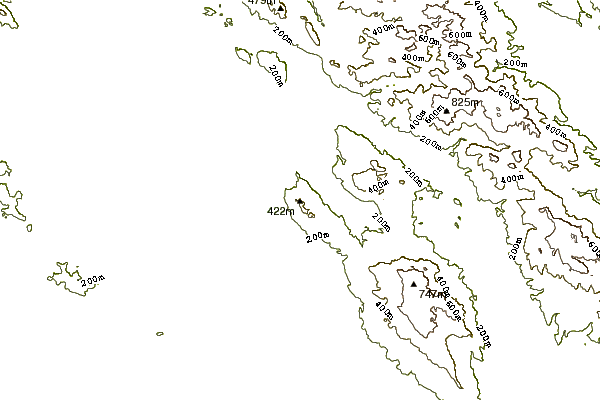
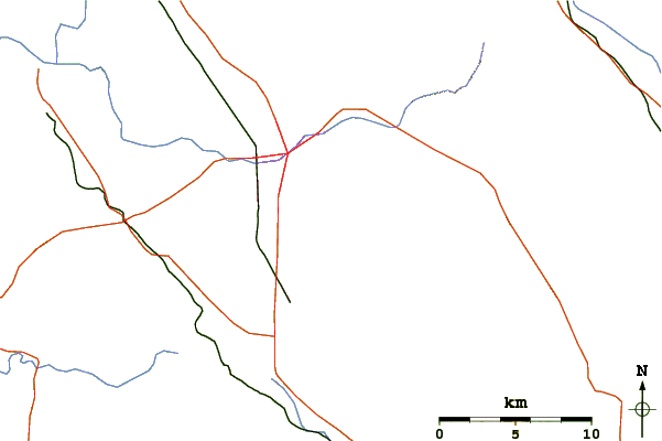
Use this relief map to navigate to mountain peaks in the area of Taylor Mountain (Sonoma County, California).
10 other mountain peaks closest to Taylor Mountain (Sonoma County, California):
| 1. | Bennett Mountain (582 m) | 4.6 km |
| 2. | Sonoma Mountain (699 m) | 12.3 km |
| 3. | Hood Mountain (833 m) | 12.5 km |
| 4. | Mount Saint Helena (1323 m) | 30.1 km |
| 5. | Iron Mountain (Napa County, California) (697 m) | 39.1 km |
| 6. | Cobb Mountain (1439 m) | 45.5 km |
| 7. | Mount Vaca (859 m) | 49.6 km |
| 8. | Sulfur Springs Mountain (339 m) | 50.5 km |
| 9. | Mount Tamalpais (784 m) | 53.5 km |
| 10. | Ring Mountain (California) (184 m) | 57.1 km |
 Like us
 Follow us
