– Lat/Long: 33.98° N 117.39° W
 Mount Rubidoux – Climbing, Hiking & Mountaineering information
Mount Rubidoux – Climbing, Hiking & Mountaineering information
Mount Rubidoux mountain guide
- Elevation: 405 m
- Difficulty:
- Best months to climb:
- Convenient center:
Mount Rubidoux Climbing NotesBe the first to submit your climbing note! Please submit any useful information about climbing Mount Rubidoux that may be useful to other climbers. Consider things such as access and accommodation at the base of Mount Rubidoux, as well as the logistics of climbing to the summit. |
| Select a
mountain summit from the menu |
||
|
Select a Mountain Summit
|
||
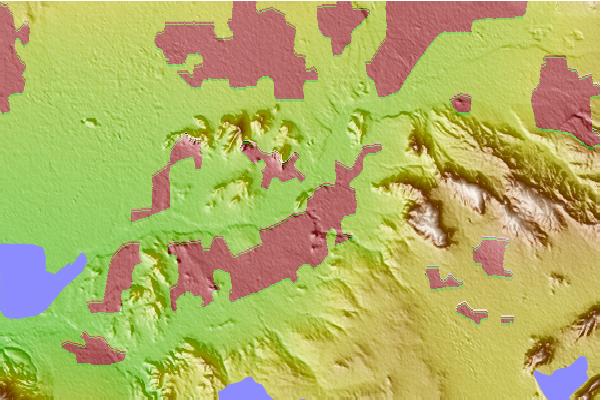
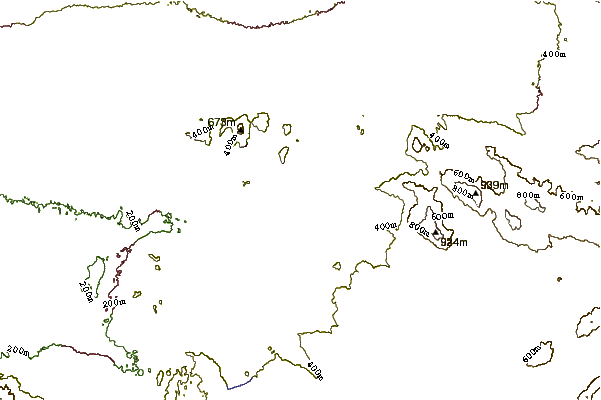
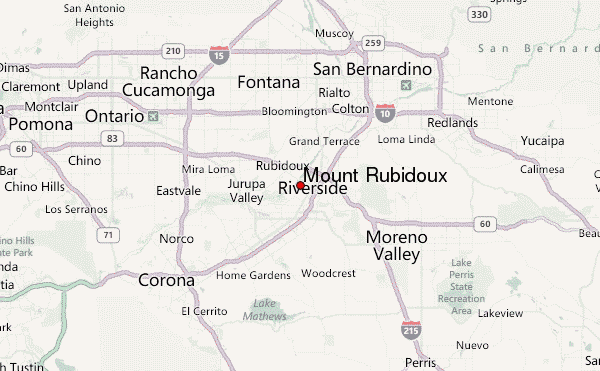
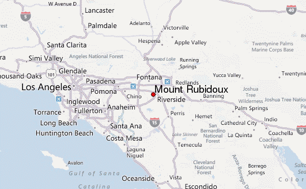
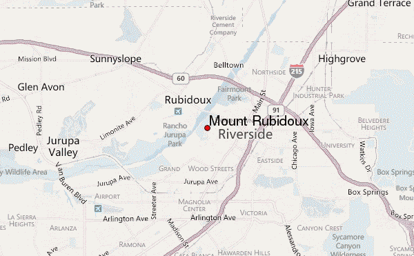
Use this relief map to navigate to mountain peaks in the area of Mount Rubidoux.
10 other mountain peaks closest to Mount Rubidoux:
| 1. | Mount Jurupa (678 m) | 7.1 km |
| 2. | Box Springs Mountain (940 m) | 10.7 km |
| 3. | Cucamonga Peak (2700 m) | 31.9 km |
| 4. | Modjeska Peak (1675 m) | 32.6 km |
| 5. | Santiago (1733 m) | 33.1 km |
| 6. | Ontario Peak (2649 m) | 34.5 km |
| 7. | Telegraph Peak (California) (2738 m) | 36.2 km |
| 8. | Sugarloaf Peak (2110 m) | 36.3 km |
| 9. | Mount Harwood (2911 m) | 40.2 km |
| 10. | Mount San Antonio (3068 m) | 41.2 km |
 Like us
 Follow us
