Santiago mountain guide
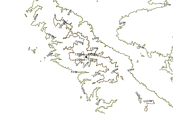
- Elevation: 1733 m
- Difficulty: Walk up
- Best months to climb: April, May, October, November, December
- Convenient center: Silverado
Santiago Climbing Notes
Mordwand from UNITED STATES writes:
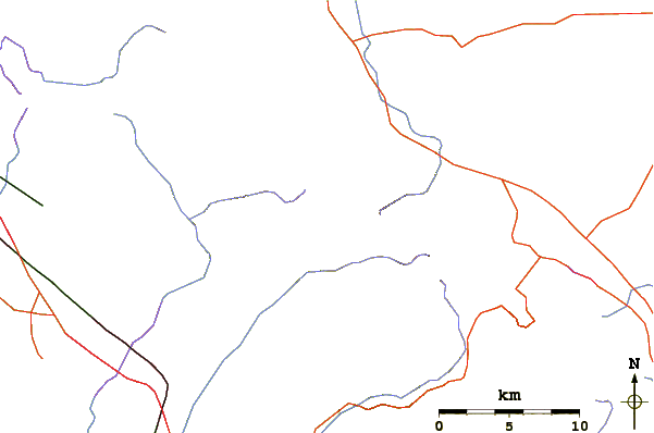
This is a great hike through diverse ecosystems and microclimates with incredible views of the Santa Ana mountains, the inland empire, and out to the pacific. However, you will want to start early, particularly in the summer, because the top section of the hike follows an exposed fire road and the sun was absolutely brutal (despite doing this in late November).
2017-01-14 |
Click here to submit your own climbing note for Santiago
|
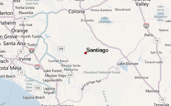
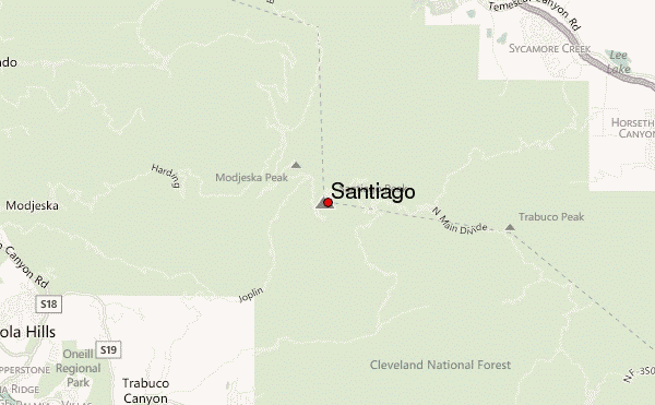
Select Santiago Location Map Detail:
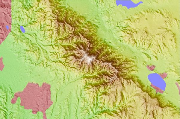
Use this relief map to navigate to mountain peaks in the area of Santiago.
10 other mountain peaks closest to Santiago:
 Santiago – Climbing, Hiking & Mountaineering information
 Like us
 Follow us
