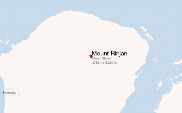
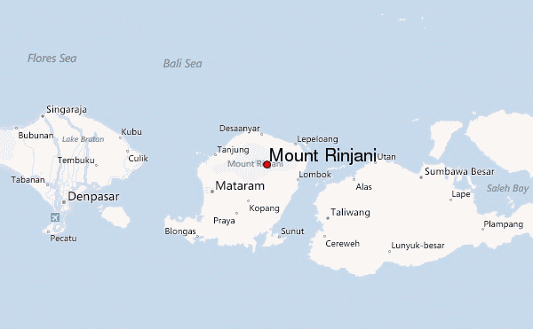
– Lat/Long: 8.42° S 116.47° E
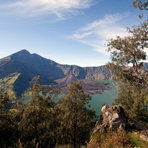
 Mount Rinjani – Climbing, Hiking & Mountaineering information
Mount Rinjani – Climbing, Hiking & Mountaineering information
Mount Rinjani mountain guide
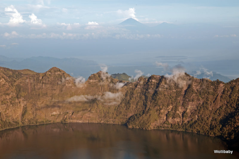
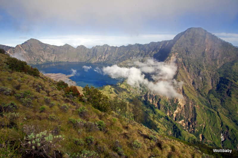
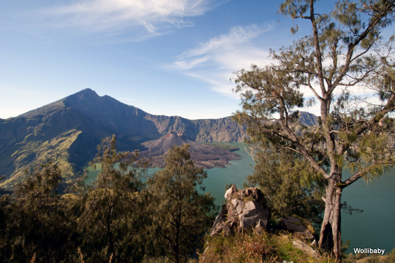
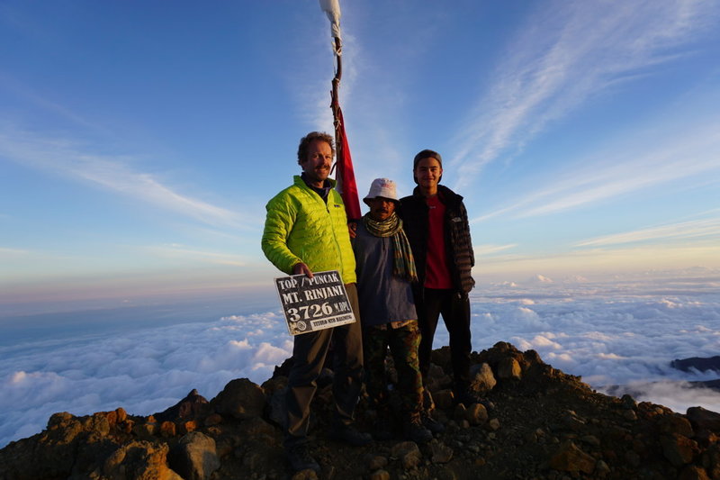
- Elevation: 3726 m
- Difficulty:
- Best months to climb: April, May, June, July, September, October, November
- Convenient center: Senaru and Sembalun Lawang
Mount Rinjani Climbing Notes
Click here to submit your own climbing note for Mount Rinjani |
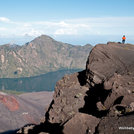
Latest Gallery Images for Mount Rinjani


| Select a
mountain summit from the menu |
||
|
Select a Mountain Summit
|
||
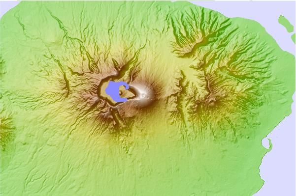
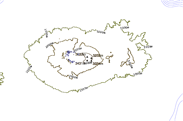
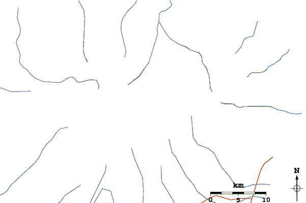
Use this relief map to navigate to mountain peaks in the area of Mount Rinjani.
10 other mountain peaks closest to Mount Rinjani:
| 1. | Gunung Rinjani (3726 m) | 1.5 km |
| 2. | Mount Agung (3142 m) | 106.3 km |
| 3. | Mount Batur (1717 m) | 122.2 km |
| 4. | Batur (1717 m) | 122.2 km |
| 5. | Bratan (2276 m) | 148.4 km |
| 6. | Tambora (2850 m) | 169.5 km |
| 7. | Mount Tambora (2722 m) | 169.5 km |
| 8. | Baluran (1247 m) | 239.9 km |
| 9. | Ijen (2799 m) | 248.7 km |
| 10. | Mount Raung (3332 m) | 269.4 km |
 Like us
 Follow us
