HOW TO GET IN MOUNTAIN RINJANI
Most visitors arrive via the village of senaru (600 m). on the northern side of the mountain and thus closer to the main resort areas of the west coast including Senggigi.if you are coming from padang bai-Bali you can take ferry which work 24 hours. or you can get a flight directly to Lombok International Airport at Tanak Aou.
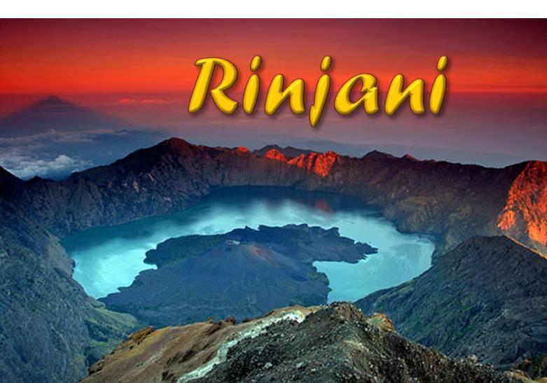
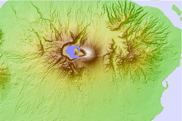
Climbing Mount Rinjani
at 3,726 m, Rinjani is the second highest volcano in Indonesia. It is very climbable by visitors with a high level of phydical fitness. typically a trek to the rim involves two days and one night on mountain. The longer ascent to the summit can be done with just one night's camping but it often part of longer trek 3-4 days and two or three night.
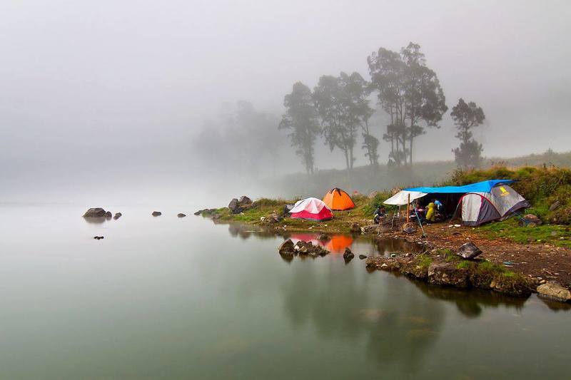
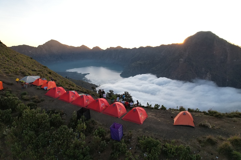
you can go by trekking agency, we recommended you to with Rinjani Trek Adventure, their talented team of local guides, cooks, and porter and the best management strong knowledge over 10 year be guide for Mount Rinjani, their price are reasonable, they provide guide, porter to carry all trekking gear such as food and beverages for you, trekking equipment like sponge mattress with 6 cm, pillow, tent, toilet tent, sleeping bag, transportation, and accomodation in Senaru village. you can contact them via email rinjani_trek@yahoo.com
Peter Lim.
 Gunung Rinjani – Climbing, Hiking & Mountaineering information
 Like us
 Follow us
