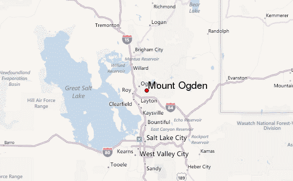
Mount Ogden mountain guide
- Elevation: 2917 m
- Difficulty:
- Best months to climb:
- Convenient center:
Mount Ogden Climbing Notes
Aaron Toponce from UNITED STATES writes:
The most direct route up the peak is via the 29th Street trailhead. This route will take you to Malan's Peak and from there you continue east.
The trail drops in elevation until arriving at a small campground. The trail gets faint in this area and can be difficult to follow. Having the route loaded on your phone or GPS watch is helpful.
From there, it's a straight climb up, averaging 1,100 feet per mile, most of it very rocky with significant boulders. It's not rock scrambling however and it's not scree. Just rocky trail.
Once at the peak, it's not recommended to continue north to Allen Peak. The west side of the ridge is overgrown with flora and there is exposure on the east side dropping a couple hundred feet. A slip could mean severe injury or death.
2022-10-15 |
Click here to submit your own climbing note for Mount Ogden
|

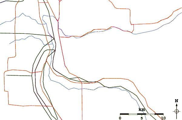
Select Mount Ogden Location Map Detail:
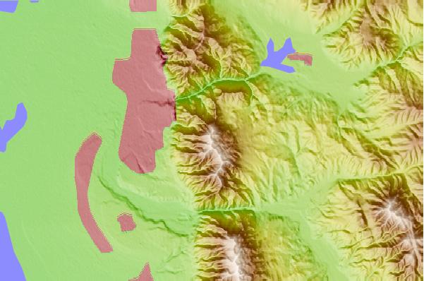
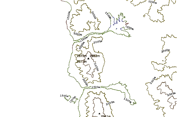
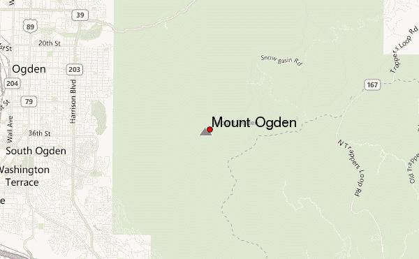
Use this relief map to navigate to mountain peaks in the area of Mount Ogden.
10 other mountain peaks closest to Mount Ogden:
 Mount Ogden – Climbing, Hiking & Mountaineering information
 Like us
 Follow us
