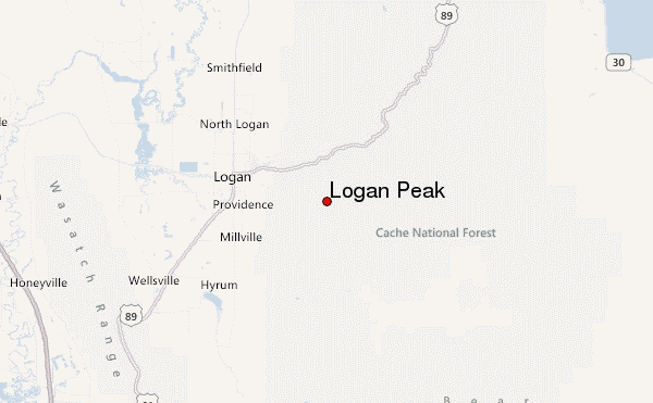
– Lat/Long: 41.71° N 111.72° W
 Logan Peak – Climbing, Hiking & Mountaineering information
Logan Peak – Climbing, Hiking & Mountaineering information
Logan Peak mountain guide
- Elevation: 2959 m
- Difficulty:
- Best months to climb:
- Convenient center:
Logan Peak Climbing NotesBe the first to submit your climbing note! Please submit any useful information about climbing Logan Peak that may be useful to other climbers. Consider things such as access and accommodation at the base of Logan Peak, as well as the logistics of climbing to the summit. |
| Select a
mountain summit from the menu |
||
|
Select a Mountain Summit
|
||
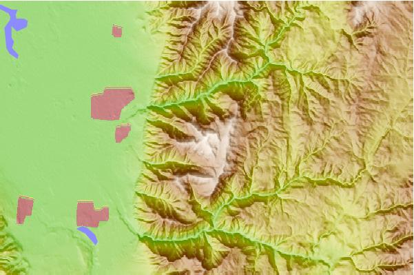
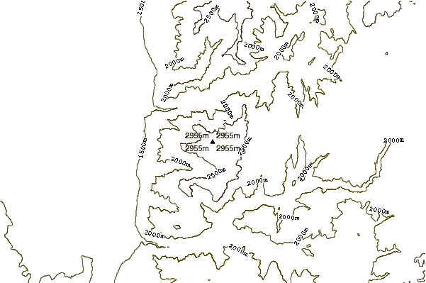
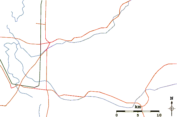
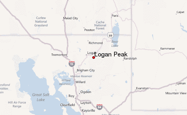
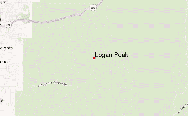
Use this relief map to navigate to mountain peaks in the area of Logan Peak.
10 other mountain peaks closest to Logan Peak:
| 1. | Naomi Peak (3044 m) | 21.2 km |
| 2. | Box Elder Peak (3384 m) | 26.2 km |
| 3. | Monte Cristo (3393 m) | 26.5 km |
| 4. | Doubletop Mountain (3009 m) | 27.0 km |
| 5. | Ben Lomond Peak (3040 m) | 43.9 km |
| 6. | Mount Ogden (2917 m) | 58.7 km |
| 7. | Medicine Butte (2624 m) | 78.5 km |
| 8. | Frary Peak (2010 m) | 93.4 km |
| 9. | Ensign Peak (1650 m) | 103.3 km |
| 10. | Mount Van Cott (1932 m) | 104.0 km |
 Like us
 Follow us
