The climbing starts with the same track as the famous Tongariro Crossing. After around an hour easy walk in the valley from Mangatepopo car park, you will reach a place called 'Soda Springs'. From Soda Spring, there are well built ladder to the entrance of the South Crater.
Instead of enter into the South Crater, you will head to the right towards to Mt Nguruhoe. There are poles on the way to the summit, but it's up to you where you climb. The climb is very sloppy (around 45 degree), and full of small rocks and screes. So better do it in winter time and the snow and ice will consolidate the surface. You can carry ice axe and crampon with you in winter, alternatively you can use the rock ridge on the left side to the summit.
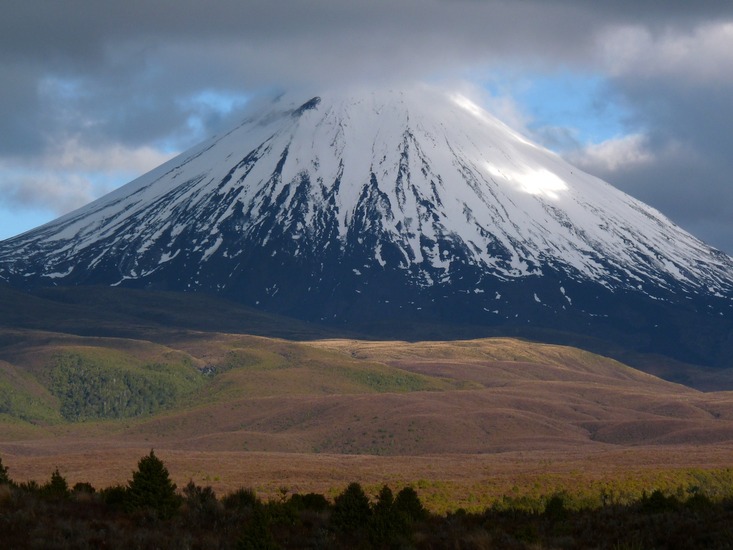
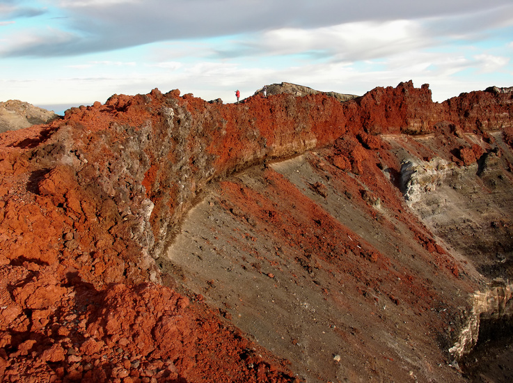
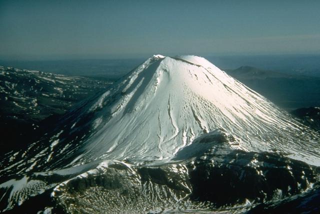
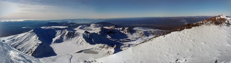
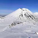
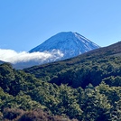
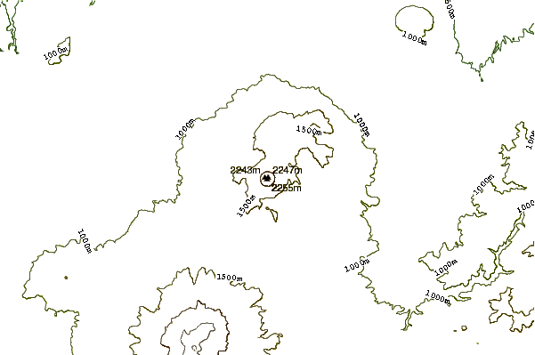
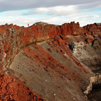
After reaching to the summit, there is a big crater gully. You can climb to the left side rim to the very summit point (2291m), have a look the view of Mt Ruapehu and Tama lakes and walk around from the back to the right side of the rim where you will see a giant inner crater like a true volcano. As per Department of Conservation, you should avoid entering the inner crater where volcanic fumaroles emit gases.
The descent will be using the same route as climbing up. Just try not to be to fast.
Enjoy the views, especially look down from Mt Ngauruhoe over the South Crater, crossing and lake Taupo.
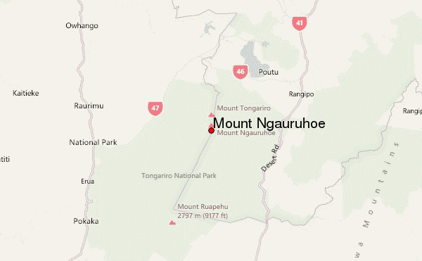
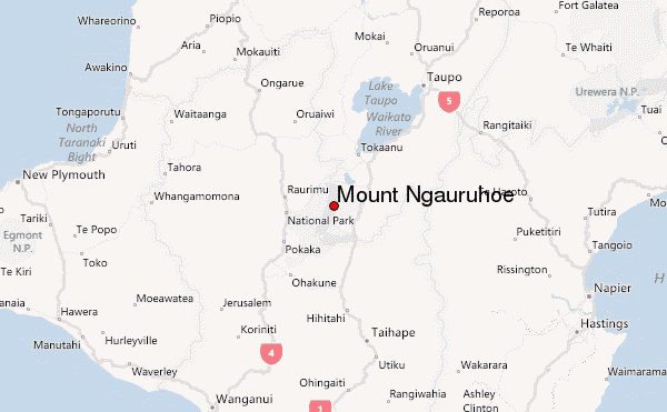
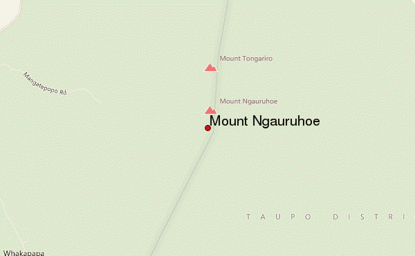
 Mount Ngauruhoe – Climbing, Hiking & Mountaineering information
 Like us
 Follow us
