Mangaweka mountain guide
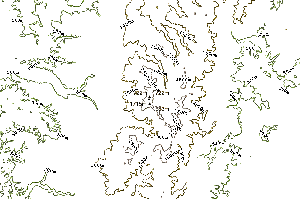
- Elevation: 1731 m
- Difficulty:
- Best months to climb:
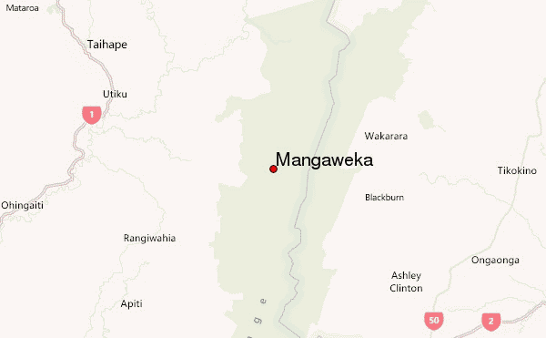
- Convenient center: Taihape
Mangaweka Climbing Notes
James Jordan from NEW ZEALAND writes:
Although it is a bit of a grunt up to Mangaweka it is not hard walking. You take the Upper Kawhatau Road from Mangaweka township and after about 10 or more Kms you will come to Mangakokeke Rd. At the end of this road there is a carpark and a poled route that follows a small creek across the farmland then suddenly climbs up a ridge to the bush-edge. This will make you puff a bit!
From there the track through the bush is steadily upward but really nice bush and after about two hours you will reach the upper bush edge and the hut. This is the second hut on this site the first one being one of the first in the Ruahines. After the hut the ridge steadily but easily climbs up to the top of the Hikurangi Range with the Pourangaki river valley to your right (South) You get great views over the headwaters of the Kawhatau river after you reach Iron Peg peak and it is only a few hundred yards from there northwards to the trig Mangaweka.
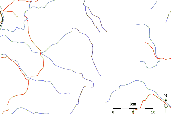
If you were to drop straight off the the east of Mangaweka peak you will find you can walk easily right down Trig creek into the Kawhatau River and turning up stream it is an easy walk to Waterfall Creek Hut coming across some very nice river flats before the hut.
From here also it is an easy walk up through Rangi Saddle over to Upper Waikamaka hut out from there again an easy walk over Waipawa Saddle to the Triplex Hut and the farmland of the Hawkes Bay. A nice two or three day walk.
2013-05-03 |
Click here to read 1 more climbing note for Mangaweka or submit your own
|
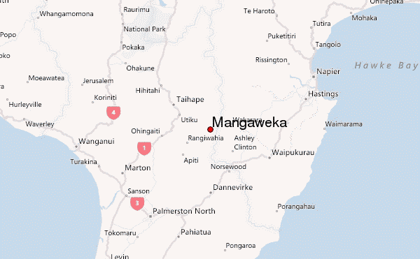
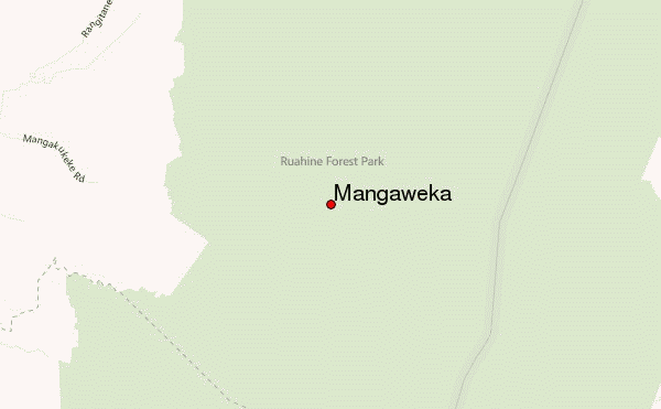
Select Mangaweka Location Map Detail:
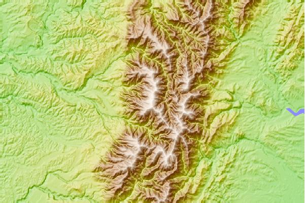
Use this relief map to navigate to mountain peaks in the area of Mangaweka.
10 other mountain peaks closest to Mangaweka:
 Mangaweka – Climbing, Hiking & Mountaineering information
 Like us
 Follow us
