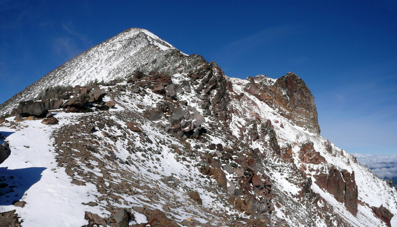
Summited Saturday 9/29 after following the weather for days. Took 3L water, drank 1.5... but it was cool enough for a puffy coat at the top while resting.
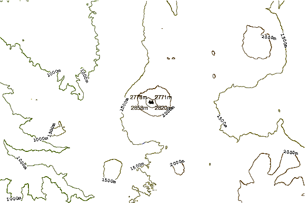
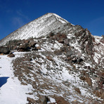
Trail was dry and snow free to the top.
One in our group keep falling behind. BRING A WHISTLE. This helped us call her back.
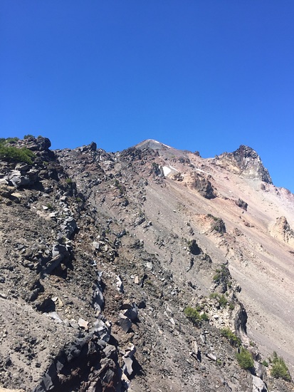
Please note this is a climb! Nothing scary to fall from, but plenty of grabbing rocks to pull yourself up, especially in the last 1-2 miles.
Once you hit the tree line, it can be hard to follow the route, as there are plenty of large rocks and multiple places people have looked for wrong-way shortcuts.
Follow the spray-painted white dots, occasional pink arrows, pink flag confidence markers. If you see a cairn, you’re probably on the right path.
Steer towards the ridge, get up on it, and climb your way along it to the summit.
On the way down, you need to follow the ridge longer than you might think before hitting a clear trail. It’s easy to go down a rock field and entirely miss the trail.
If you go on a weekday, the trail may be empty. It’s much “safer” for solo hiking in a Saturday or Sunday.
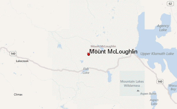
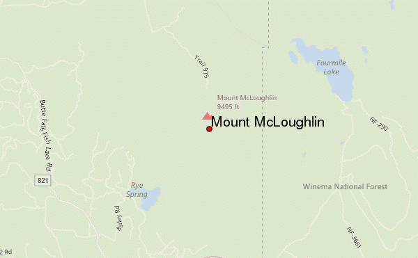
Parking was hard to get to from highway 140, on a very bumpy 2.4 mile dirt road (last 1 mile was passable in 2wd if you go very slow). The road seems better coming from the k falls direction.
 Mount McLoughlin – Climbing, Hiking & Mountaineering information