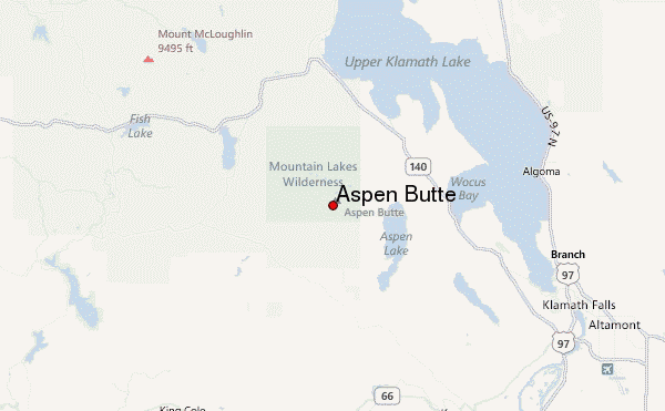
Aspen Butte mountain guide
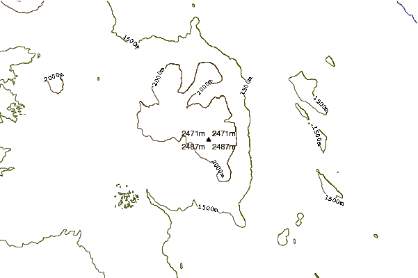
- Elevation: 2502 m
- Difficulty: Walk up
- Best months to climb: June, July, August, September, October
- Convenient center: Klamath Falls, Oregon
Aspen Butte Climbing Notes
hans kuhr from UNITED STATES writes:
There are two hiking routes to the scenic summit of Aspen Butte, one being the conventional longer hike and the second a shorter but more direct hike where using a GPS is very significant. I have done both of these hikes a large number of times.
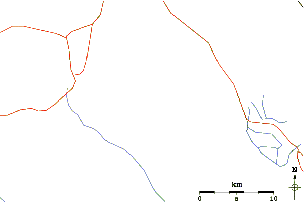
The first one is starting from the Clover Creek trail head. From the clover creek road mile post 5.8, drive north on FS road 3852 for 3.3 miles to the trail head. Parking is available for 8 cars. Hike up the trail for 2 miles crossing tiny Clover Creek then continue another 0.5 miles to a sign on the right saying cut off trail. Follow this trail up hill for 1 mile. Turn right at the end of the cut off trail and follow the mountain lakes trail for 1 mile to a rocky pass with a good view. Turn right at the pass and follow the aspen peak hike for 1.1 miles to the summit. This trail has many markers and follows the ridge line. The distance from the TH to summit is 5.5 miles. A super view is found at the summit. Expect a whole day on this hike.
The second hike is more direct , but steeper and involves GPS navigation. Start at mile post 11 on Clover Creek roadend drive north on FS road 3828 for 7.5 miles to a junction at the top of a pass. Turn left on FS 760 for .7 miles and park on left side of road just before the road goes down and ends. Both these roads are good gravel roads and can traveled by any car, although it may be best to have a little high clearance in spots. From the trail head, walk down 50 yds on the road and look for trail rock markers. Follow these markers going north to the rim. You will need to mark your cars location to get back to your car. In one mile you will reach the rim. You should see Aspen Butte, then turn left for 0.5 miles to the summit. Total elevation gain is 1500ft in 1.5 miles. Time wise its 1.5 hrs. On the way down follow your track or go directly to your cars waypoint. Go towards the Little aspen butte. You will come out on the FS 760 road. This hike is shorter and takes a lot less time but is more complicated.
2020-09-20 |
Click here to submit your own climbing note for Aspen Butte
|
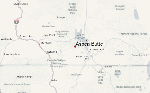
Select Aspen Butte Location Map Detail:
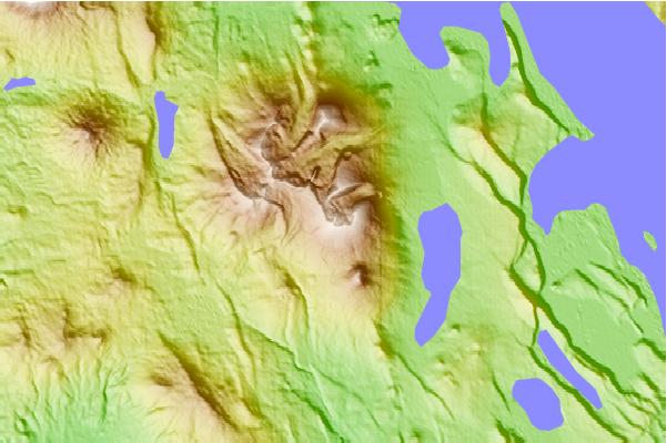
Use this relief map to navigate to mountain peaks in the area of Aspen Butte.
10 other mountain peaks closest to Aspen Butte:
 Aspen Butte – Climbing, Hiking & Mountaineering information
 Like us
 Follow us
